13. IMAGES FROM THE FIELD
In May I took a trip to the island to start mapping the location of erratics in the East Quarry area. Here are some photos from my first walk through the area.

The understory is green and full, but the canopy has not shown up yet. When I climbed down into the quarry I was surprised to see the quarry floor in bloom with the lakeside daisy (Hymenoxys herbacea), which I had never seen in bloom. This species of daisy thrives in landscapes where other plants cannot grow, so the barren landscape of an empty quarry is perfect for this plant.


On day one it looked like it would rain, and I saw evidence of rain everywhere in the seasonal ponds scattered around the quarry floor.

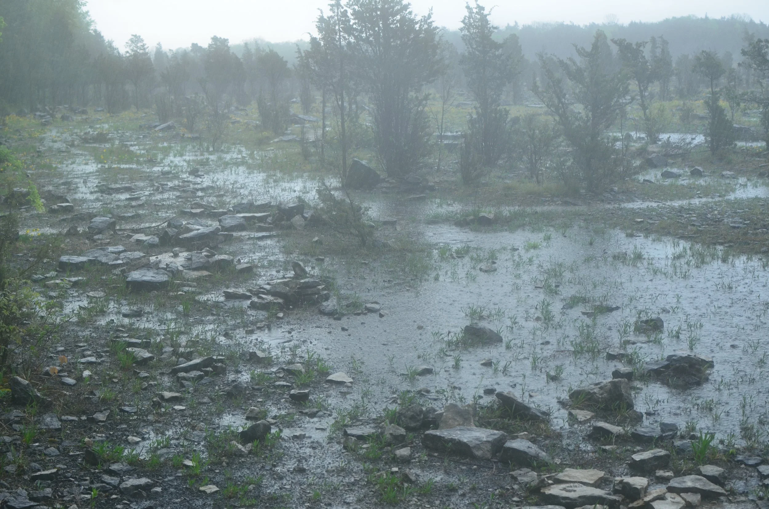
It rained the second day of my trip, but there is no bad weather, so I went out to see what I could see in the rain. The seasonal ponds clearly form during these rainstorms and the limestone pavement keeps the water from draining away. Several areas of the quarry were inaccessible during this trip because of the water. I walked through several puddles that were deep enough to come up to my ankles.
The floor of the quarry is very much alive, covered in mosses…

and cryptobiotic/biological soil crusts…


Biological soil crusts are extremely fragile, and extremely important to the biodiversity of the quarry, and the carbon and nitrogen cycles in the quarry. Stepping on them can destroy what takes years to grow. They rely on the seasonal ponds for expansion and activation, where algae and cyanobacteria species like Nostoc form the crusts that end up spreading in clumps to build up the soil communities.
The seasonal ponds bring to life colonies of algae, spike rush, and Eurasian watermilfoil (Myriophyllum spicatum) in a freshwater tidepool/rockpool of sorts…


Eurasian watermilfoil (Myriophyllum spicatum)

There are vascular plants in the quarry (other than the cedar) that I’ve not seen here before, such as this fruit sapling that I think might be some kind of cherry:

I spent the bulk of this May trip mapping erratics in the quarry which I’ll write about in my next post. I’m interested in how historic quarry operations decided to handle the granite glacial boulders in a process where they were quarrying limestone, and I’m mapping the project in ArcGIS to identify patterns of placement to see what I can determine about life in the quarry in the mid-1800s.
to be continued…