16. GREAT LAKES LIMESTONE QUARRY COMPARISON
If you’ve followed my fieldwork on Kelleys Island, you know that I’m mapping the location of granite boulders left behind by workers in a limestone quarry. About a month ago I was looking at GIS maps of the Great Lakes and spotted a quarry on Lake Huron that looked similar to the Kelleys Island quarry, so last week I went to check it out. It’s in Rockport, Michigan, and the quarry is about five times the size of the quarry on Kelleys Island, but other than that, I didn’t know much about it until I arrived and walked around.

Rockport Quarry on Lake Huron in Michigan. image credits: Esri Community Maps Contributors, Province of Ontario, Esri, HERE, Garmin, SafeGraph, GeoTechnologies, Inc, METI/NASA, USGS, EPA, NPS, US Census Bureau, USDA, Maxar
I knew that I wouldn’t have the time to map out the location of granite boulders with GPS, so instead I took a brisk walk and kept a tally of the granite I came across in the span of an hour and a half: a total of 282 glacial stones. The walk was disorienting because the terrain was very familiar in features and characteristics. It was definitely a different location, but there was something very familiar about the landscape.

Like the quarry on Kelleys Island, Rockport was a limestone quarry. Kelleys Island is a Columbus Limestone member, whereas Rockport is Huron member, but they are definitely both Devonian-age, although between the two, Rockport seems to be the prime fossil bed. It was actually difficult to find pieces of limestone without fossils.

I had studied the map a little before I walked, so I had a sense of the lay of the land, but it looked a lot like the quarry I know in Ohio. Even the ground looked familiar with biotic soils, terrestrial algae, seasonal ponds, similar vegetation, remnants of rails, crushed cinders, coal, and slag. I limited my walk to an area the size of the Kelleys Island quarry so that I could get a sense of the comparative densities of granite boulders in the two quarries. The landscape was legible to me, and I started to recognize some of the decision-making strategies that I have seen on Kelleys.
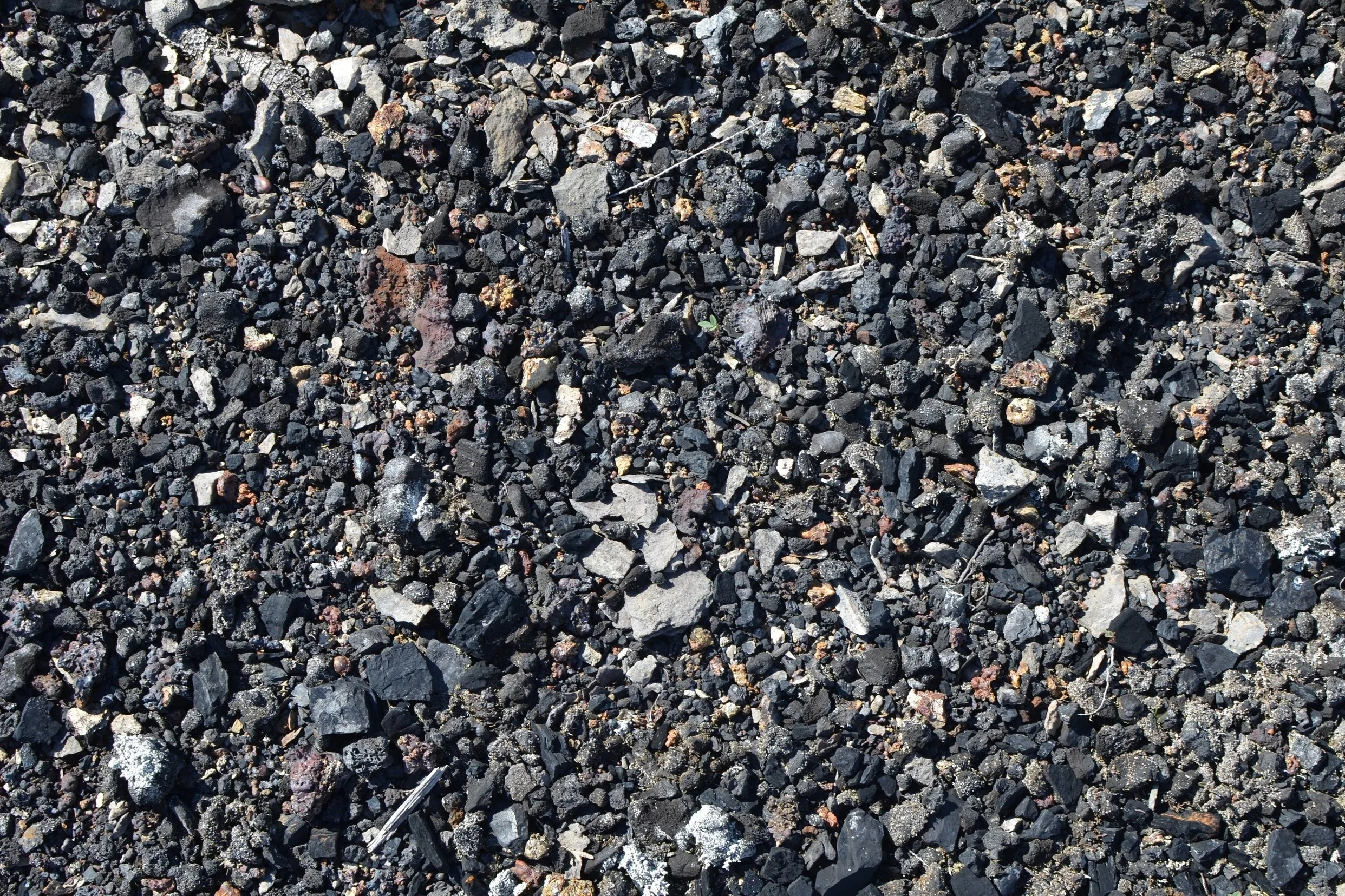


Most of the granite and other igneous & metamorphic glacially transported stones I found were between pebble and cobble size, but I did find several very large boulders. Like Kelleys Island, most of the granite I found was collected into rows along with broken limestone, and was staged for removal via railcar.


The granite on Kelleys was evenly distributed throughout the quarry, but workers at Rockport seemed to have concentrated the granite into denser piles. In fact, during the first 60 minutes of the walk, I only found about 100 stones in Rockport, but the last 30 minutes as I was walking toward the mouth of the quarry that opened to the road that led to the loading docks, I found 150-170 stones from large cobble to small boulder size. The density of the granite suggested that they were concentrating it and possibly sorting it as the railcars headed to the docks.

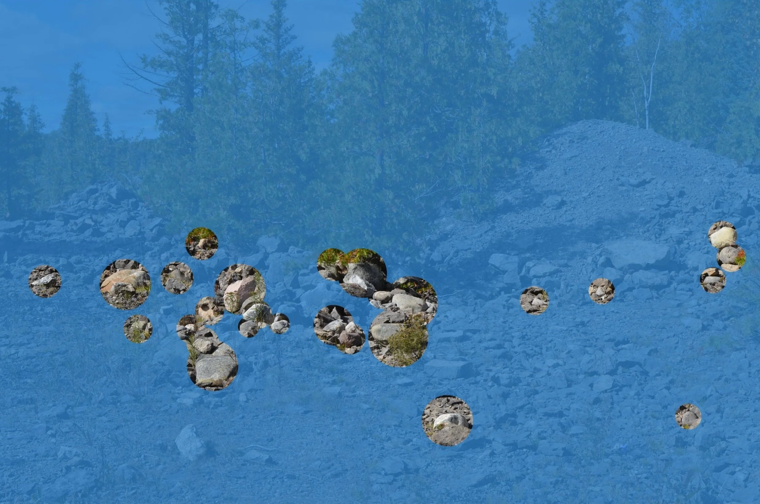
I walked out by the docks and noticed that the channels were very deep so that the freighters could dock and have enough depth to draw as they were loaded with limestone. The water was very clean and bright. I noticed several boulders on the beach and even submerged in some of the water around the docks, and I don’t know if those were dropped by the glacier, or if they were moved to the water’s edge by quarry workers. However, the road between the docks and the quarry had 193 granite erratics, each the size of a small cow, and those stones were definitely placed there by the Department of Natural Resources, or whatever agency conserves the land.

And then I came across something that made sense to me; a heritage sign telling the story of the quarry:
“In 1914, the Great Lakes Lime and Stone Company opened ‘one of the largest and most complete’ stone quarries of its kind. A massive, half-mile-long conveyor belt stood hundreds of feet above the jetty that brought stone to the loading chutes that were lowered into the cargo holds of the biggest ships sailing the lakes. Huron limestone from Rockport and then Stoneport was shipped across the Great Lakes for use in building and road construction. Later, it filled the caissons under the Mackinac Bridge. Responding to transportation costs and a dminishing local supply of high-quality stone, the company moved its operations to Marblehead, Ohio, in 1948.”
I get on the ferry to go to Kelleys Island at Marblehead, and while some of the quarries on Kelleys are older than 1948, it’s possible that some of the areas I’m working in were previously quarried by this same company. I need to look into it more before I make any assertions about this, but it has provisionally confirmed for me that the similarities in the visual landscapes and the legibility of the decisions made by the quarry workers in both landscapes put these two places into relation with each other.