FIELD
OFFICE
F/O
landscape observatory
Documenting glaciers, watersheds, and post-industrial landscapes across the Great Lakes and beyond.
A roving practice across islands, waterways, quarries, and working landscapes.
FIELD OFFICE is the operational core of my practice: a landscape observatory where curiosity guides long-term observation across regions, connecting sites into the larger pattern. Focused on the role of glaciers in the Great Lakes, it cultivates methods of attention, perception, and continuity across seasons and terrain. This is where the work begins, returns, and evolves, producing insights that inform what I produce through STUDIO, DRIFT CABINET, GEOCOG, ROOM 1910, DOSSIER, and ANGLING DIVISION.
Where FIELD OFFICE Works: Landscapes & Return Visits
FIELD OFFICE unfolds through repeated journeys across varied landscapes, each return revealing processes, patterns, and change. I begin among the islands of the Lake Erie archipelago, tracing coastal systems and watersheds, then move inland through northern Michigan’s glacial terrain and the peatlands and bogs of Ohio. Quarries and post-industrial sites mark human intervention on the land, while Arctic and sub-Arctic ice fields stretch the limits of observation, and southern wetlands and cypress swamps offer a counterpoint of dense, living complexity.
Each landscape accumulates meaning through return. What is fleeting on a single visit becomes legible over repeated presence, making long-term environmental and geological change visible and guiding the methods and insight that define FIELD OFFICE.
How FIELD OFFICE Observes: Walking, Sketching, Logging
The work is slow and direct. It involves walking, waiting, and sustained engagement with landscapes. Observation is sequenced through sketching, measurement, and logging. Materials are collected as records of pattern and change.
Glacial, fluvial, industrial, and ecological traces are read together, and insights are synthesized to inform conceptual, artistic, and scientific work elsewhere in the practice.
Field methods conducted on-site build high-fidelity attested datasets as a core aspect of my practice.
Artifacts & Data: Mesh Models, Postcards, Notebooks
FIELD OFFICE produces field notebooks, ground-truthed data sets, sketches, diagrams, instruments, photographs, measured drawings, and archival materials that feed into DRIFT CABINET and other internal structures. Some of this work circulates publicly. Much of it remains internal, serving as the substrate for thinking, making, and advising across divisions. What follows are some of the outputs produced over the past several seasons. The complete archive of outputs is stewarded by the Center for Art + Environment at the Nevada Museum of Art under record CAE2217.
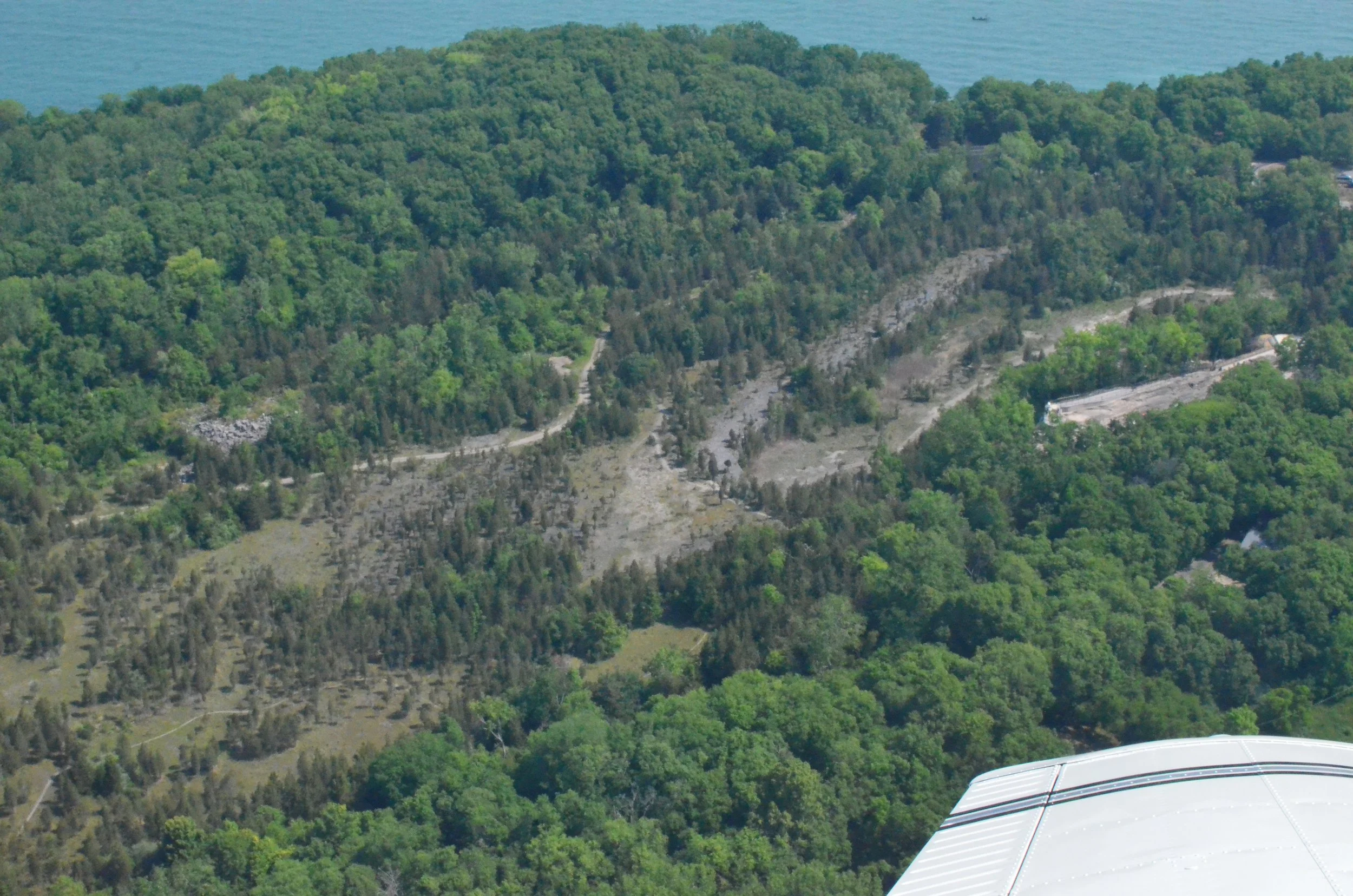
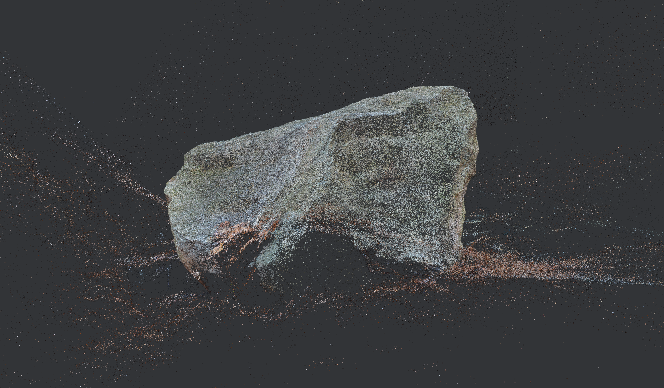
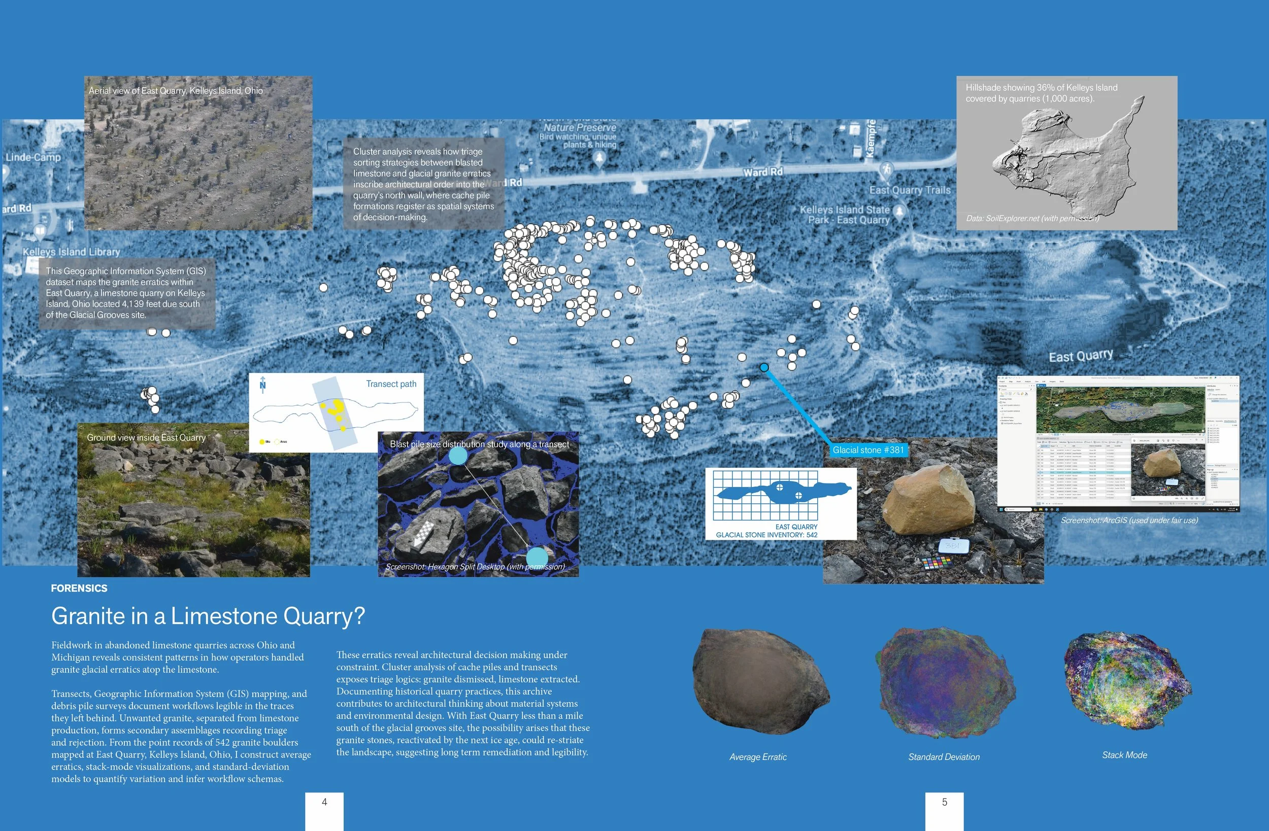
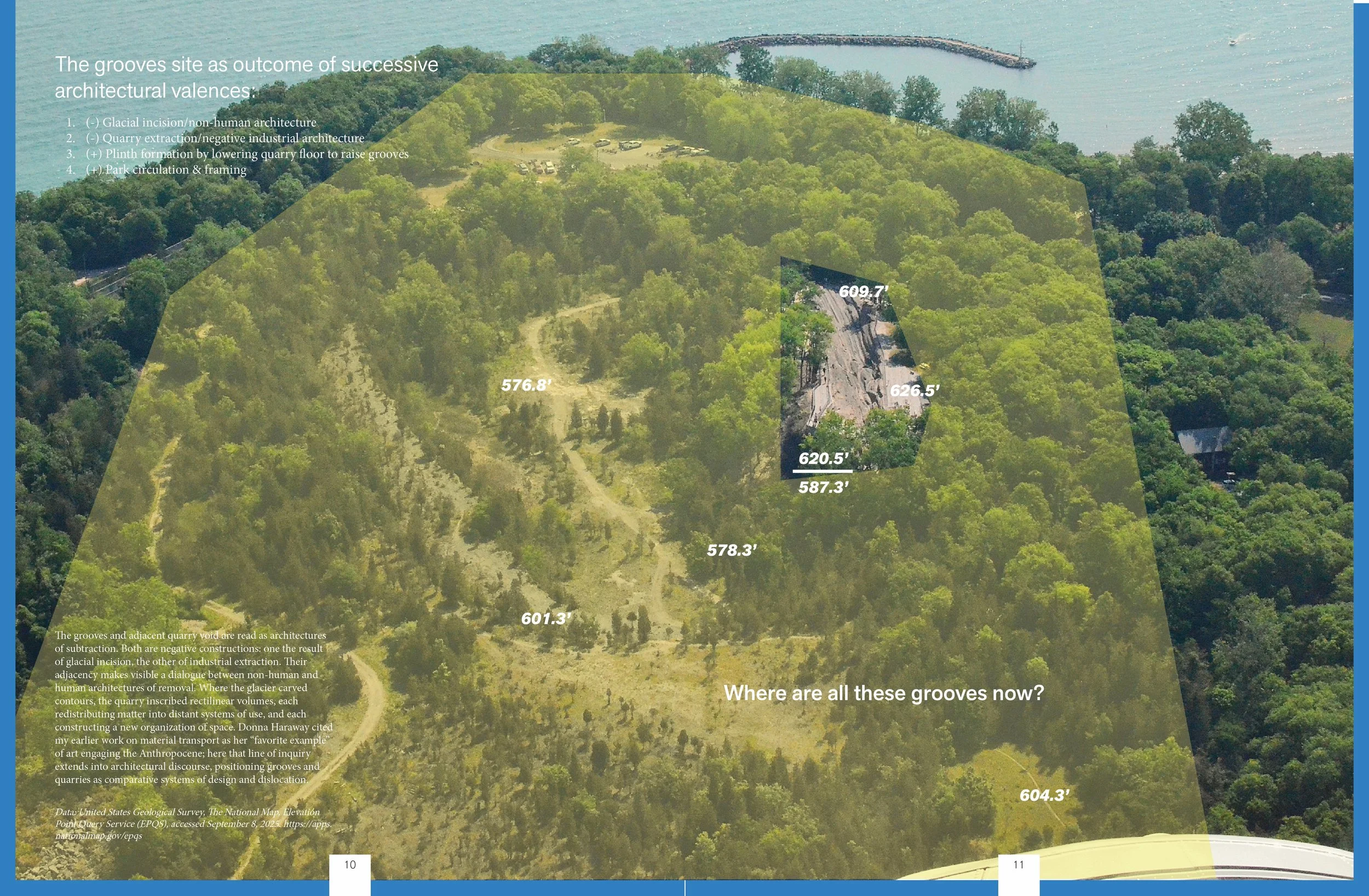
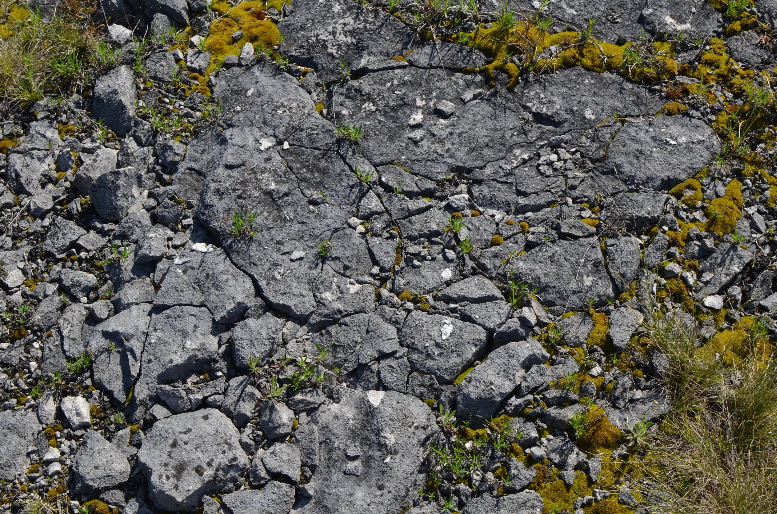
Photogrammetric data reconstructs glacial grooves at sub-centimeter scale; mesh used for hypothesis testing and diachronic comparison. Built from data I collected on Kelleys Island in Lake Erie.
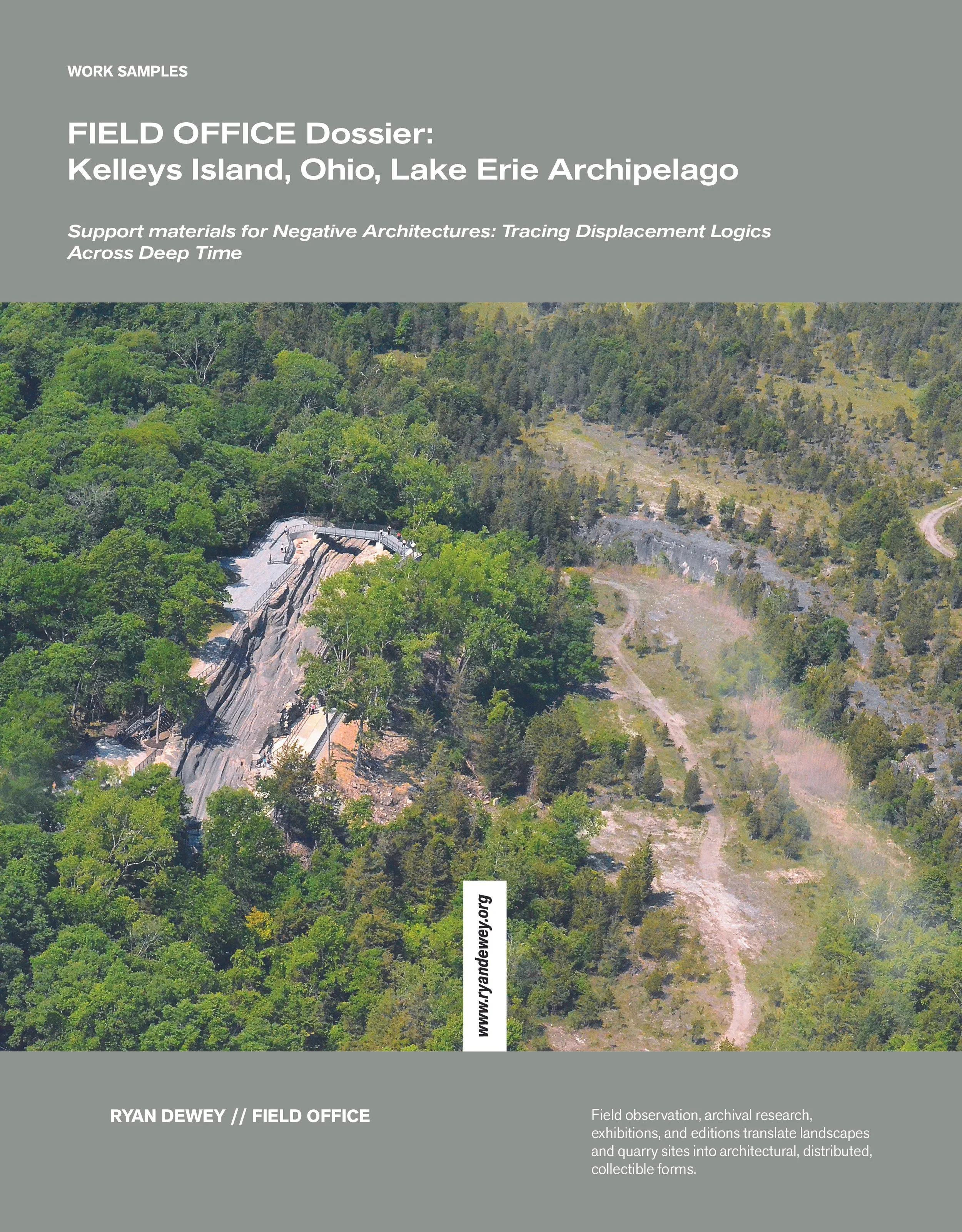
Reconstructing Kelleys Island Glacial Grooves
41.616338559191945, -82.70649799527524 | Kelleys Island, Ohio | 2022–2025
Forensic-scale 3D photogrammetry reconstructs primary and secondary glacial grooves at sub-centimeter resolution, producing a high-fidelity mesh (3.8M vertices, 7.6M faces) for basin-scale analysis. Systematic cross-section, historical overlays, and site analysis recover lost groove morphology erased by quarrying, map erosional trajectories, and locate state-change markers. This work situates the grooves within Lake Erie’s broader glacial system, testing how erosive forces evolved across substrates and revealing the grooves as signals of planetary-scale movement. Data are integrated into an ongoing project archive at the Nevada Museum of Art, informing a comprehensive terrain-based understanding.
Serialized Field Logs:
Postcards & Emblems
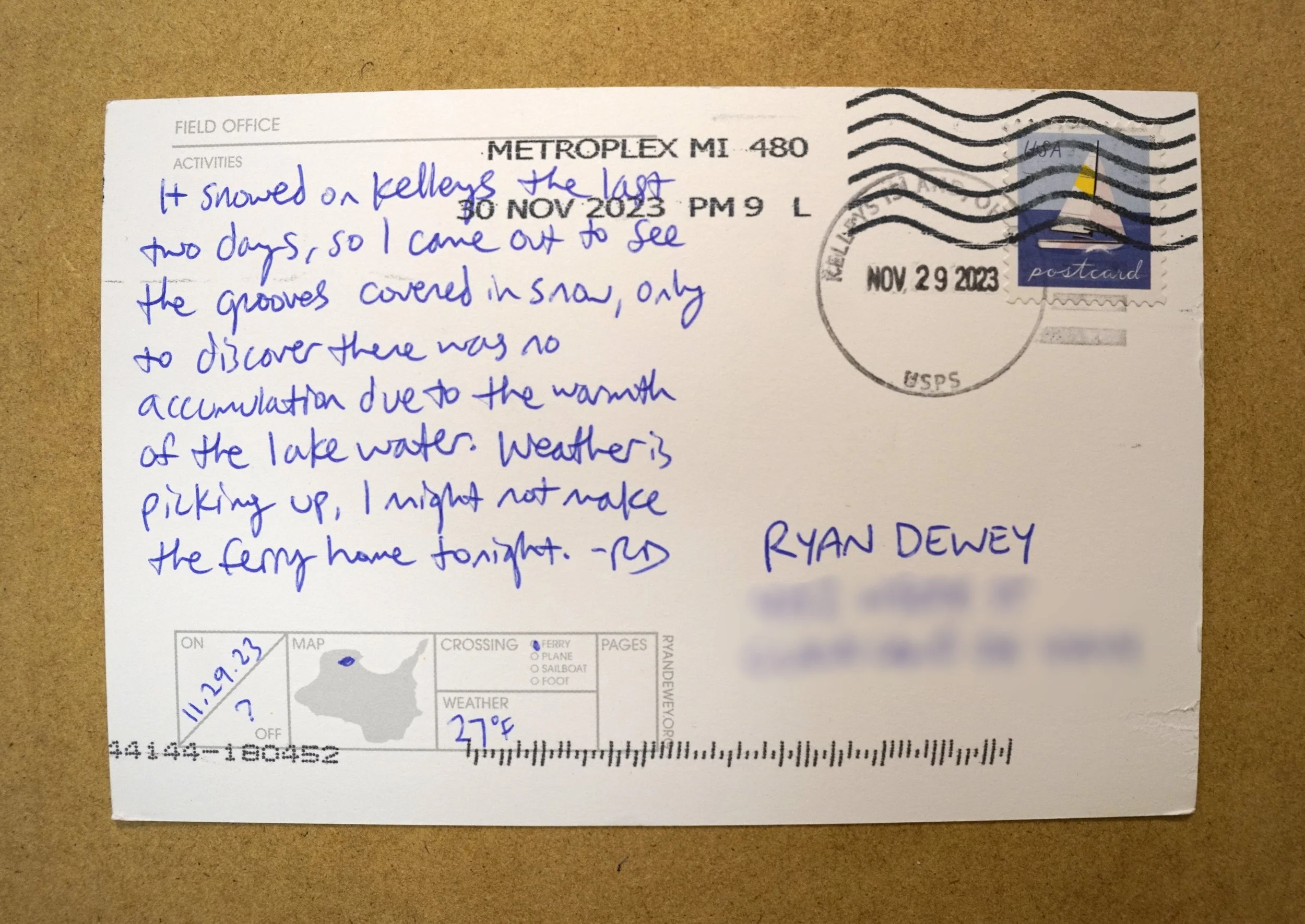
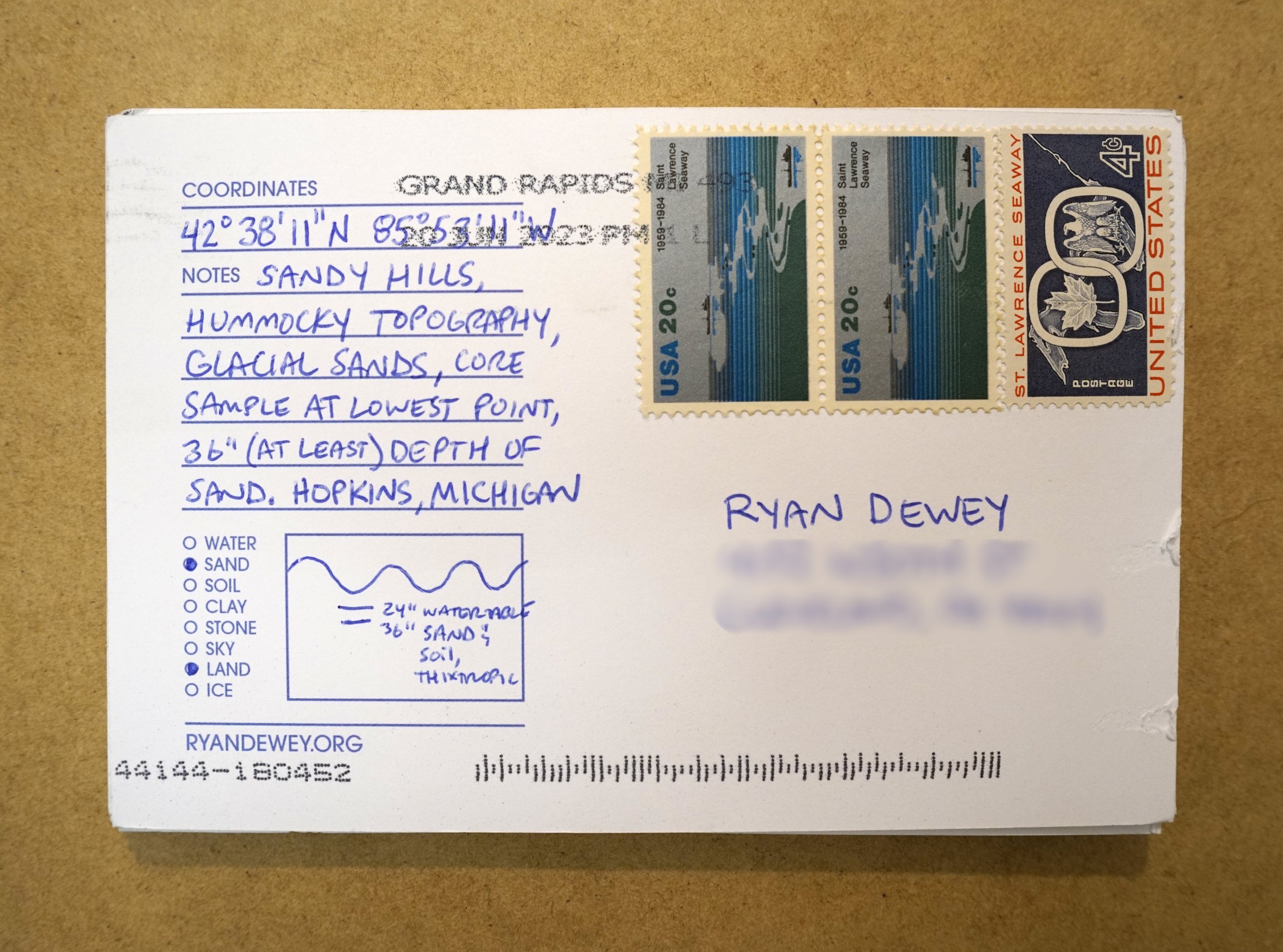
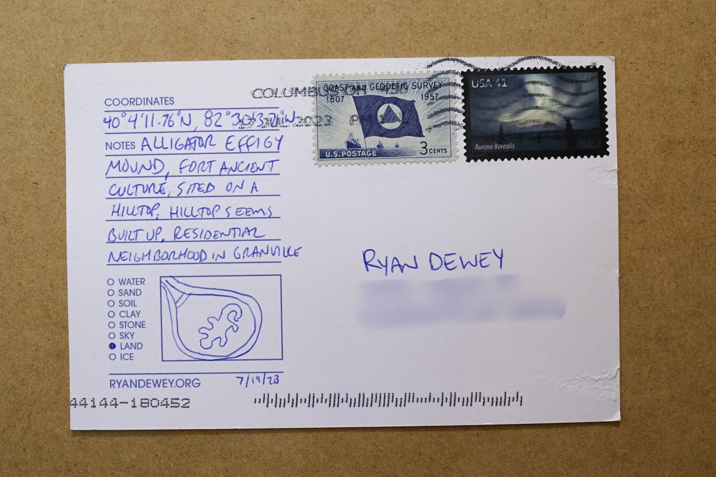
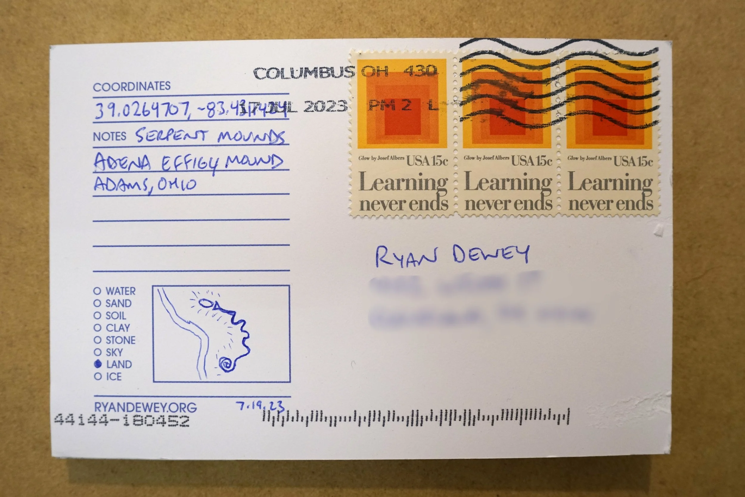
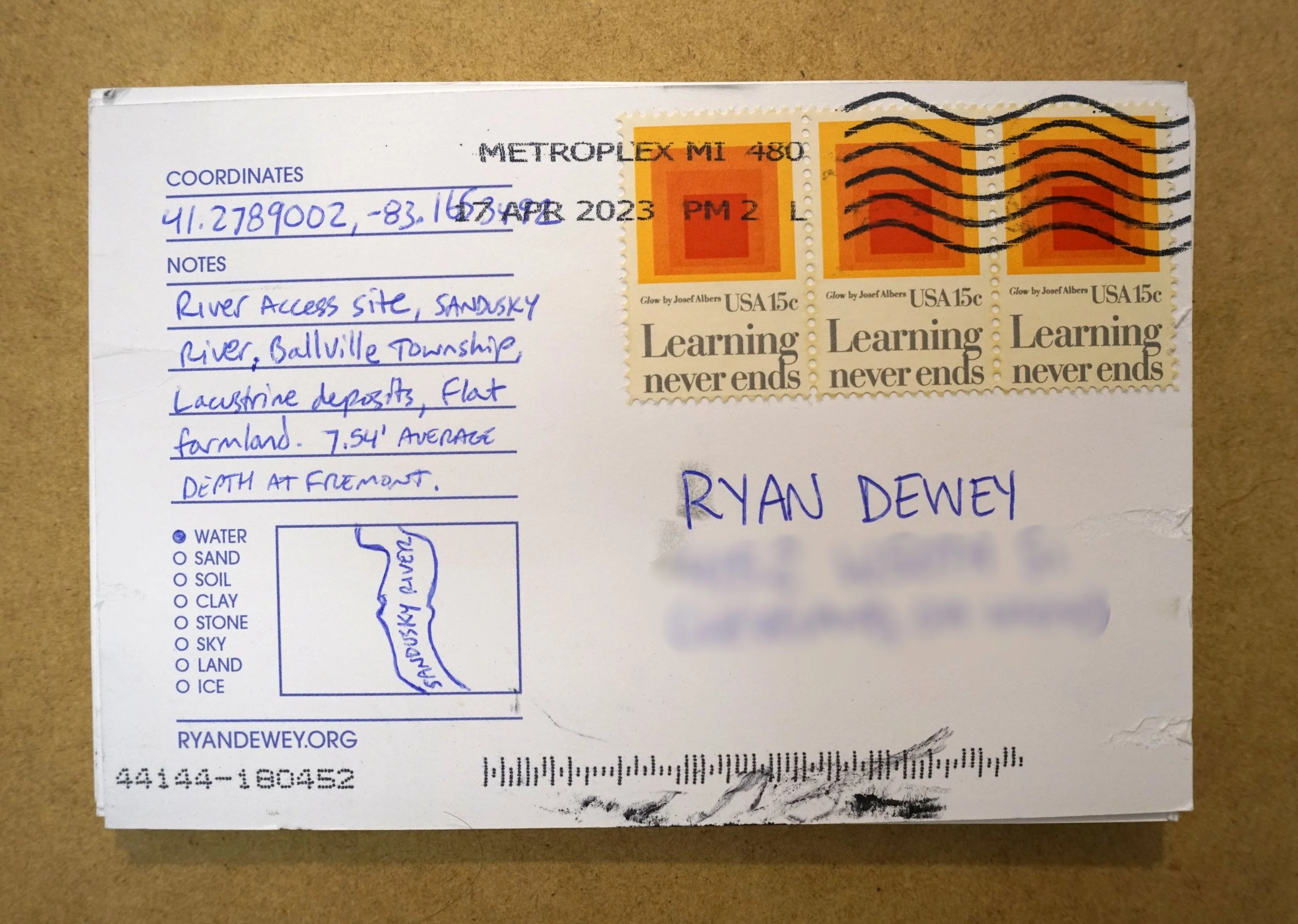
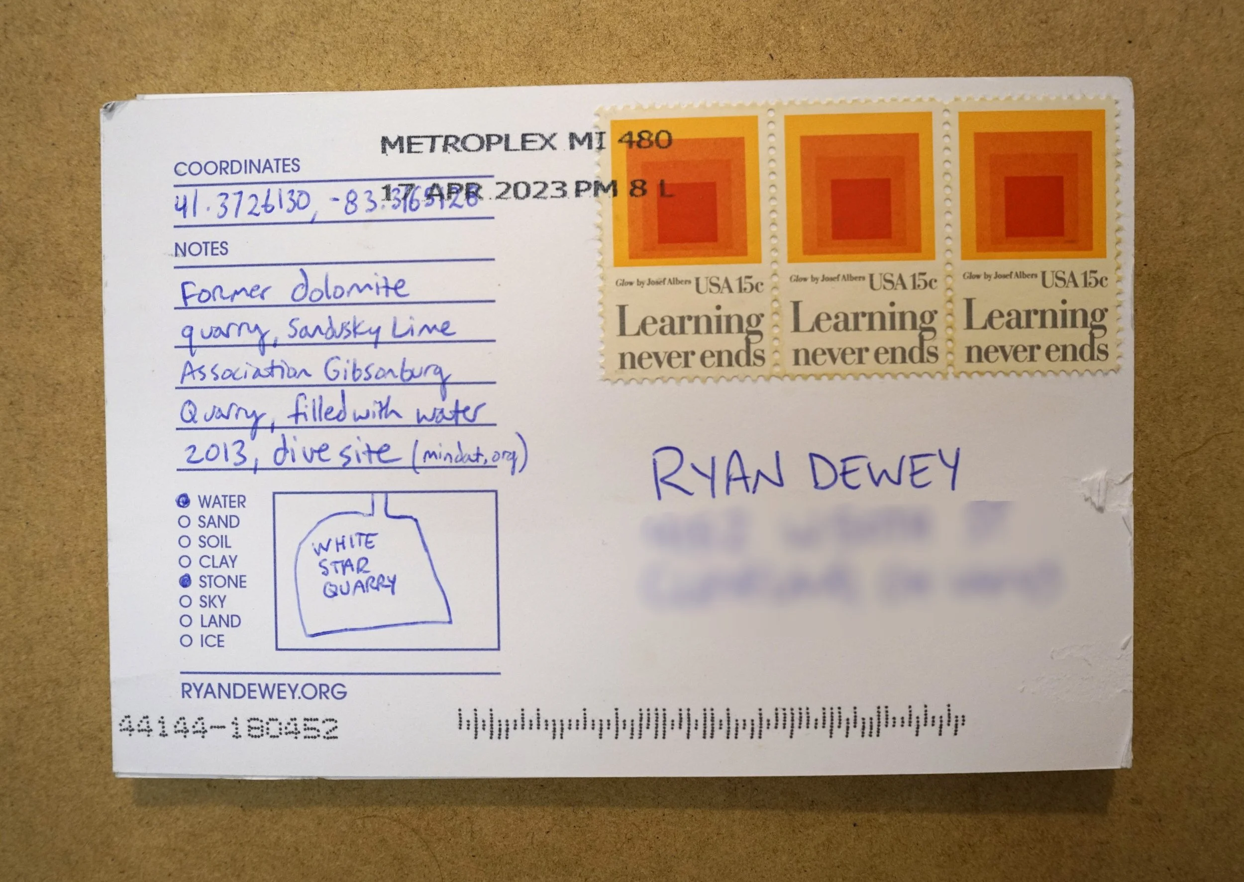
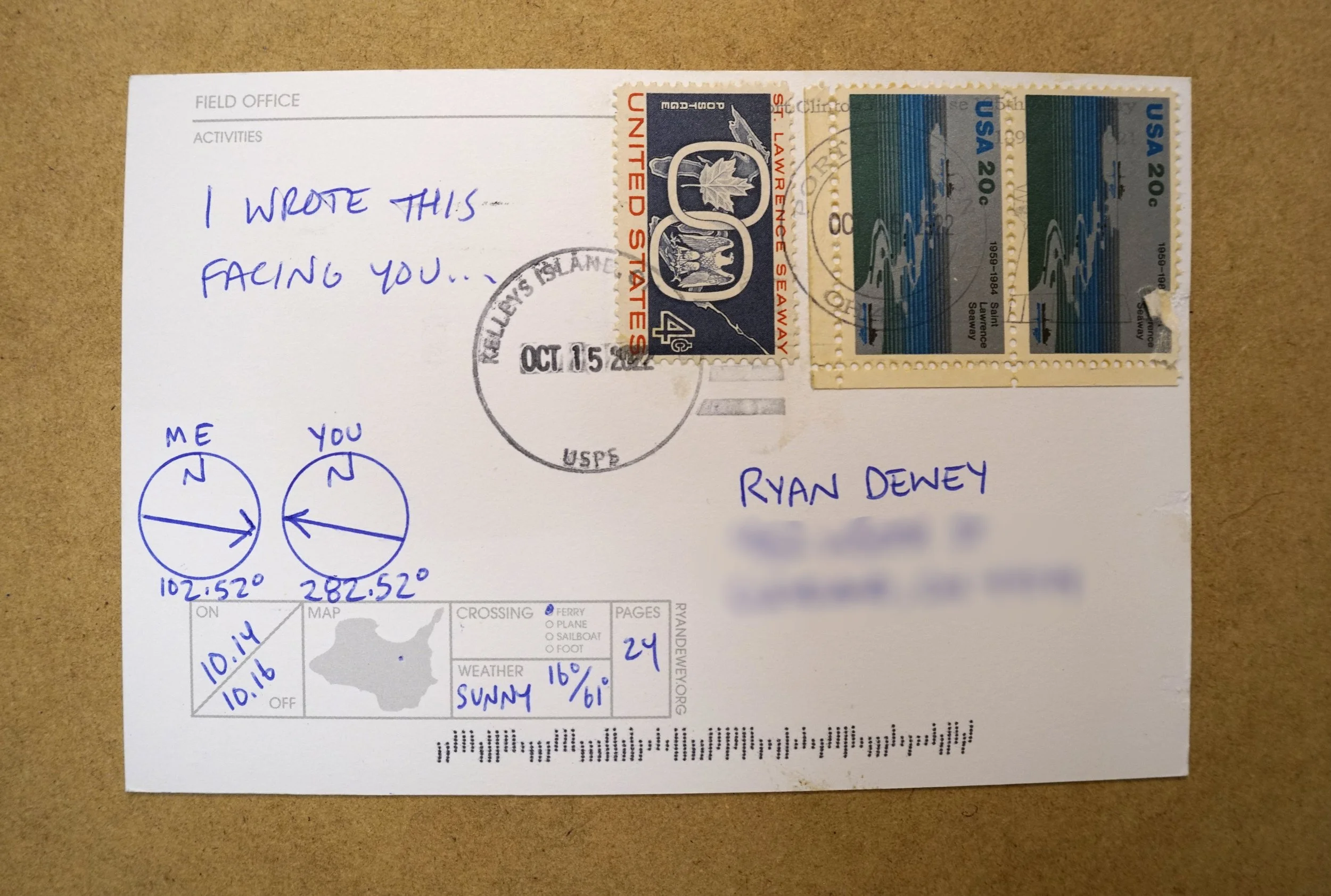
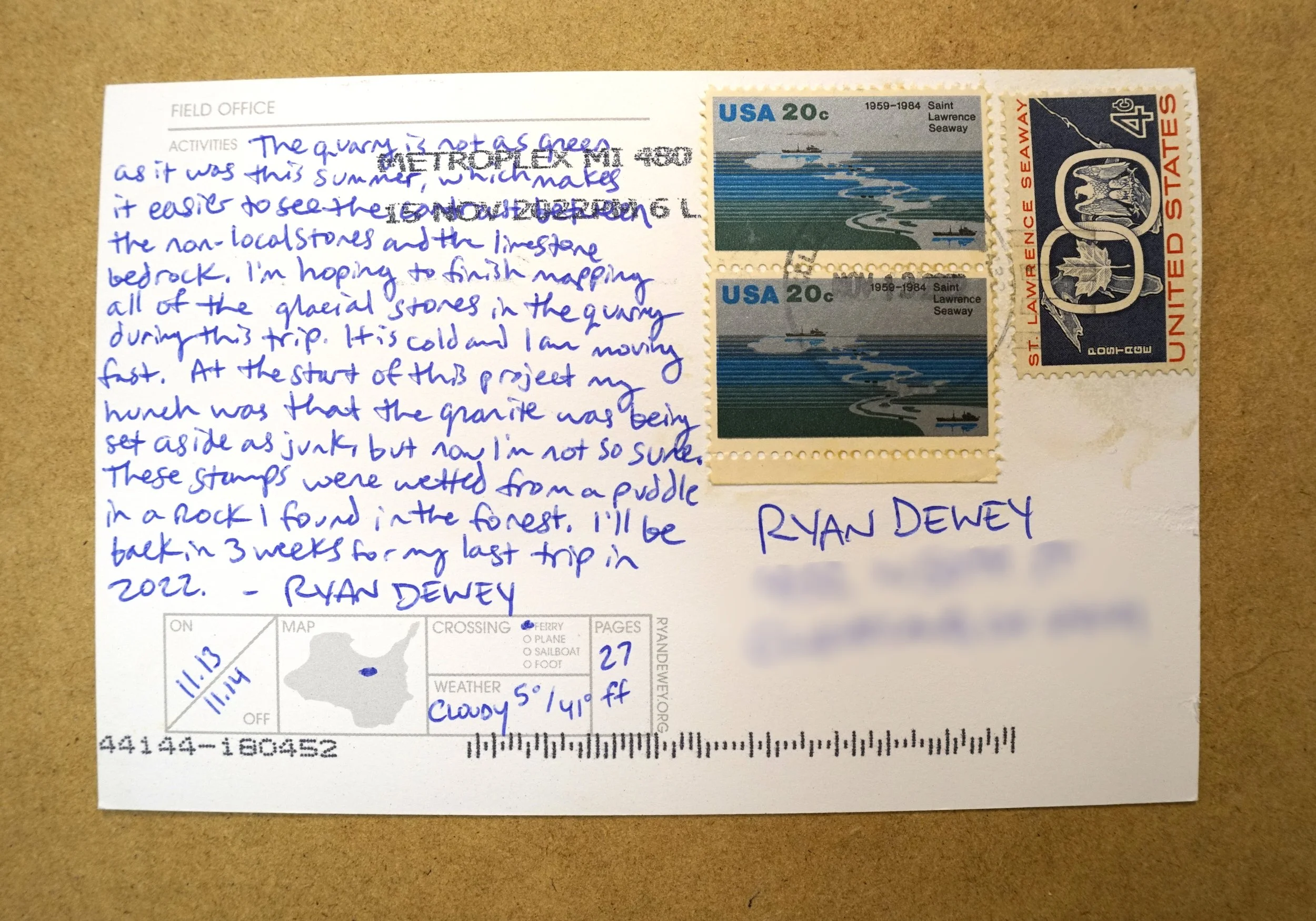
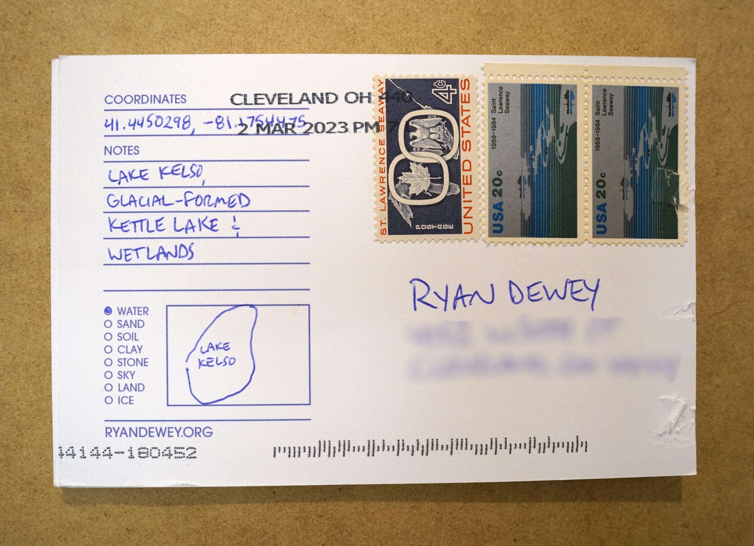
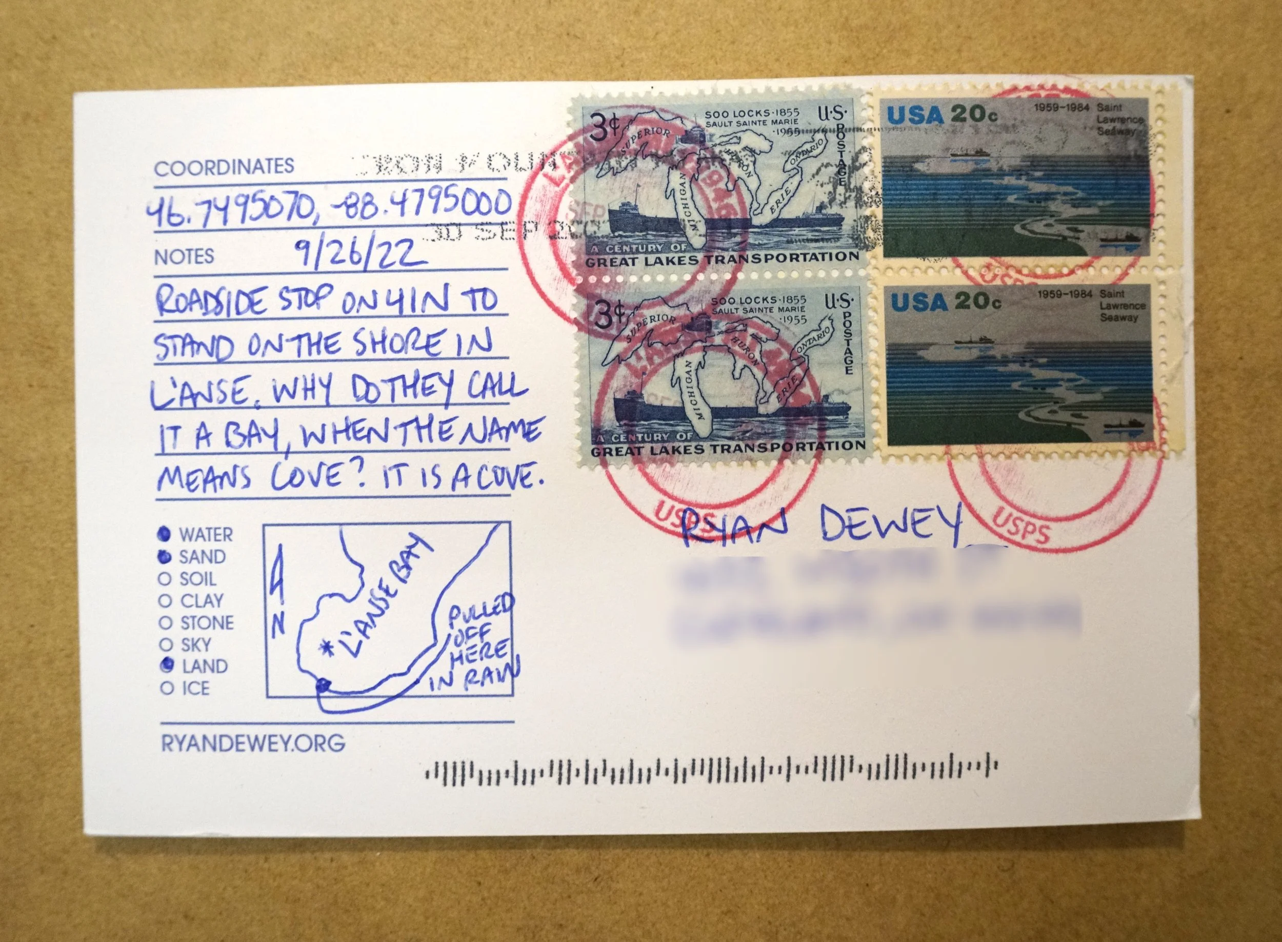
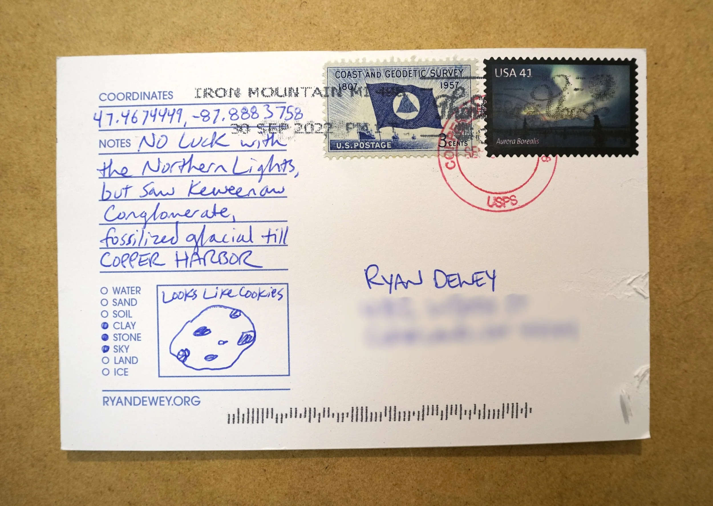
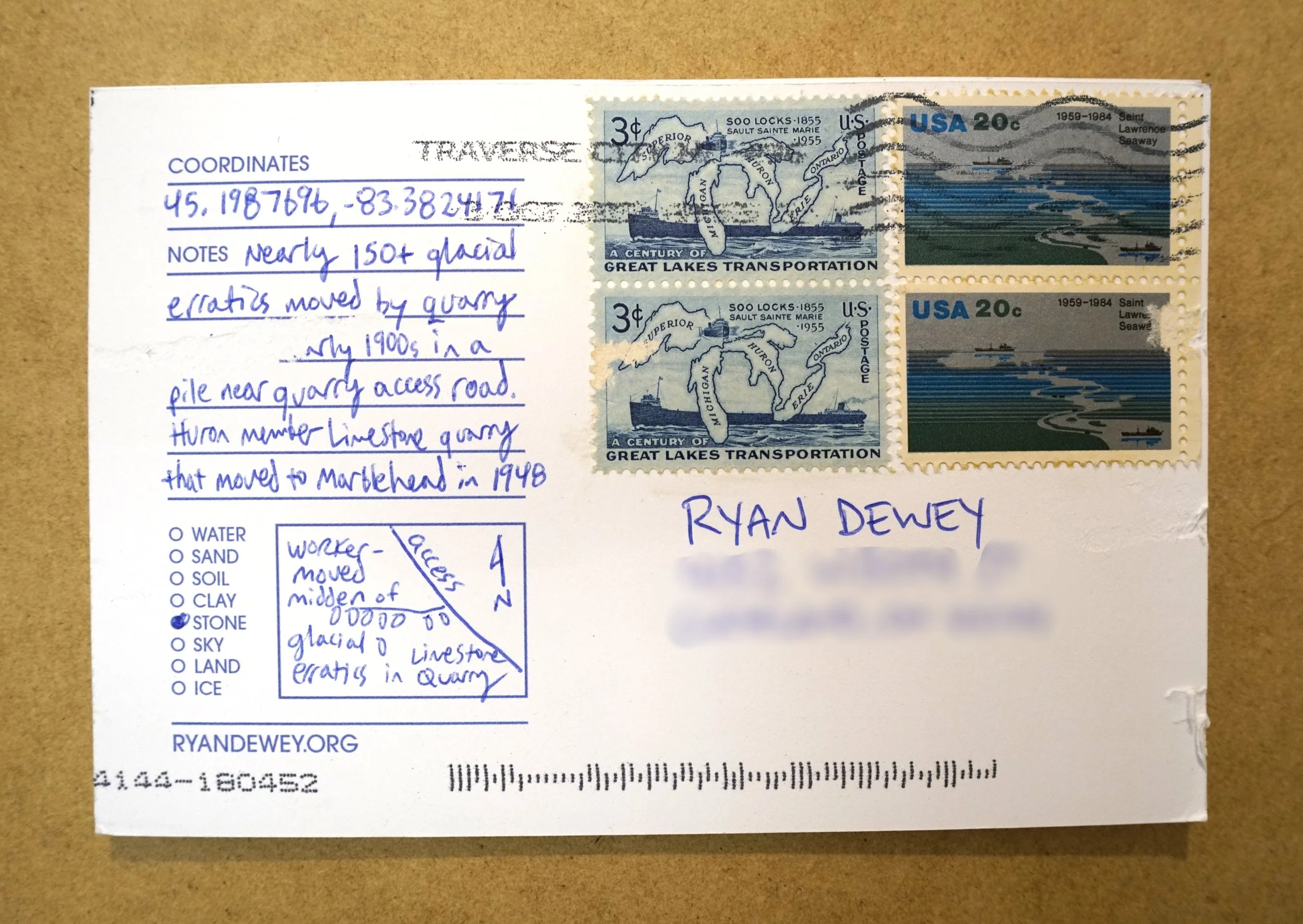
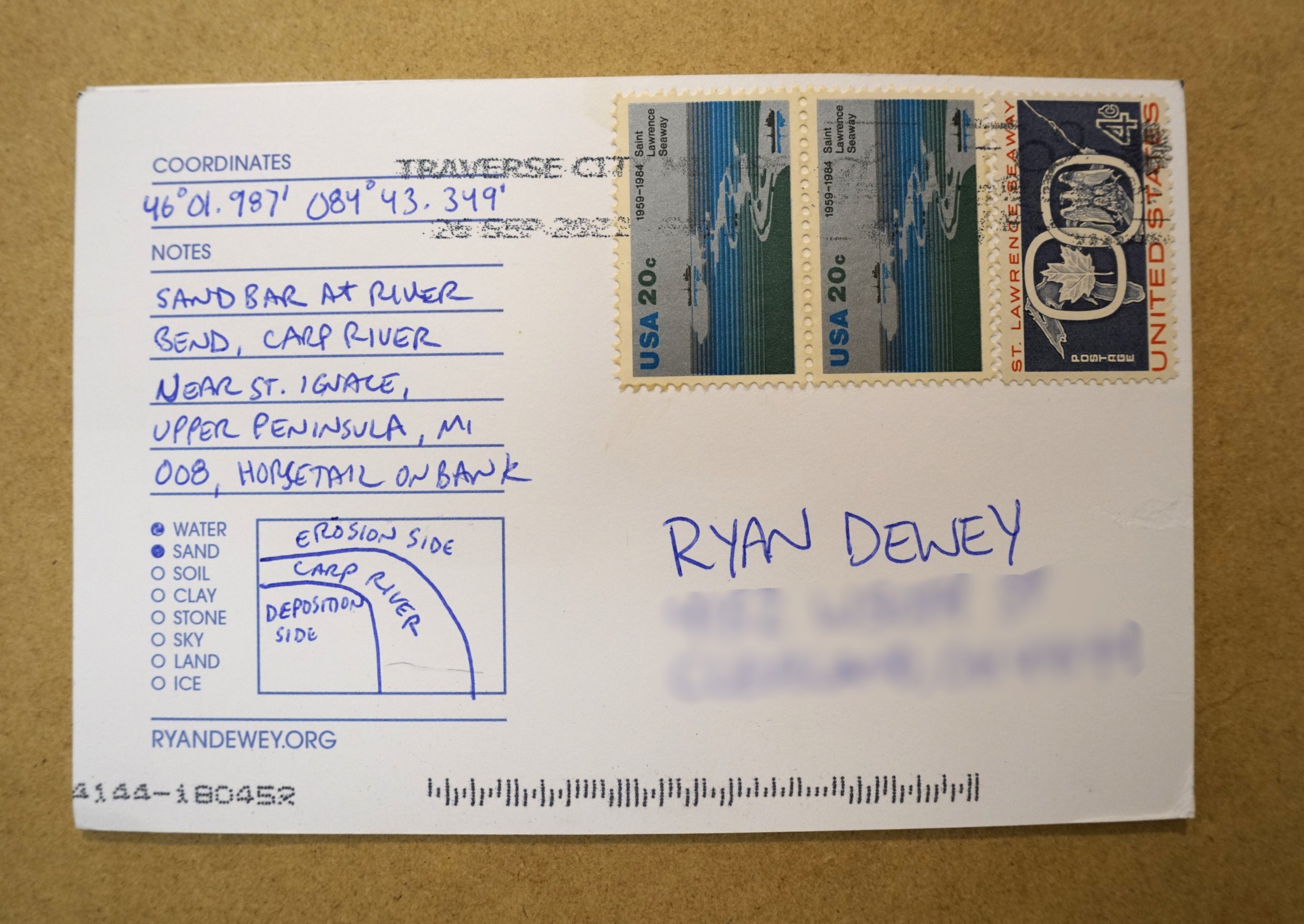
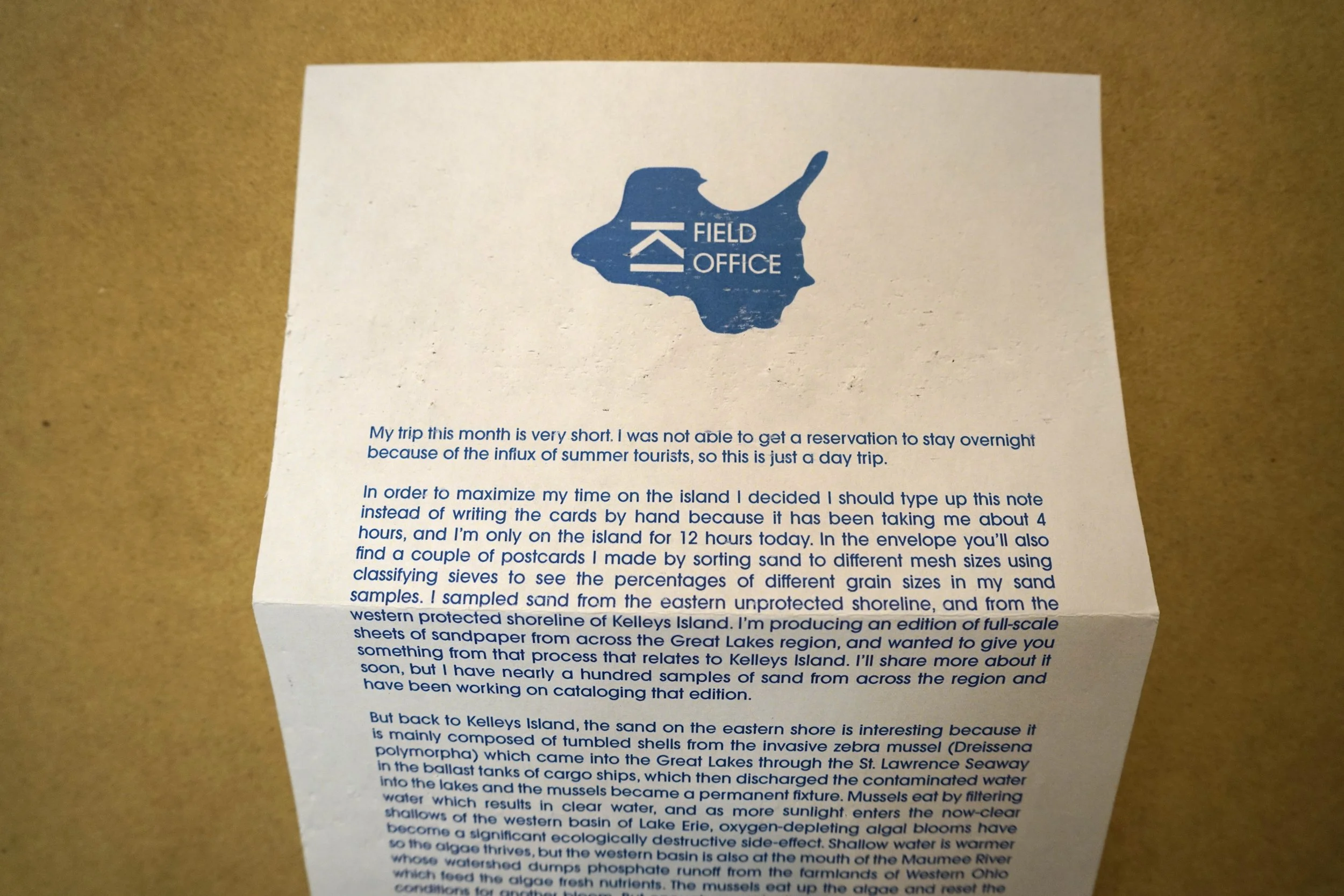
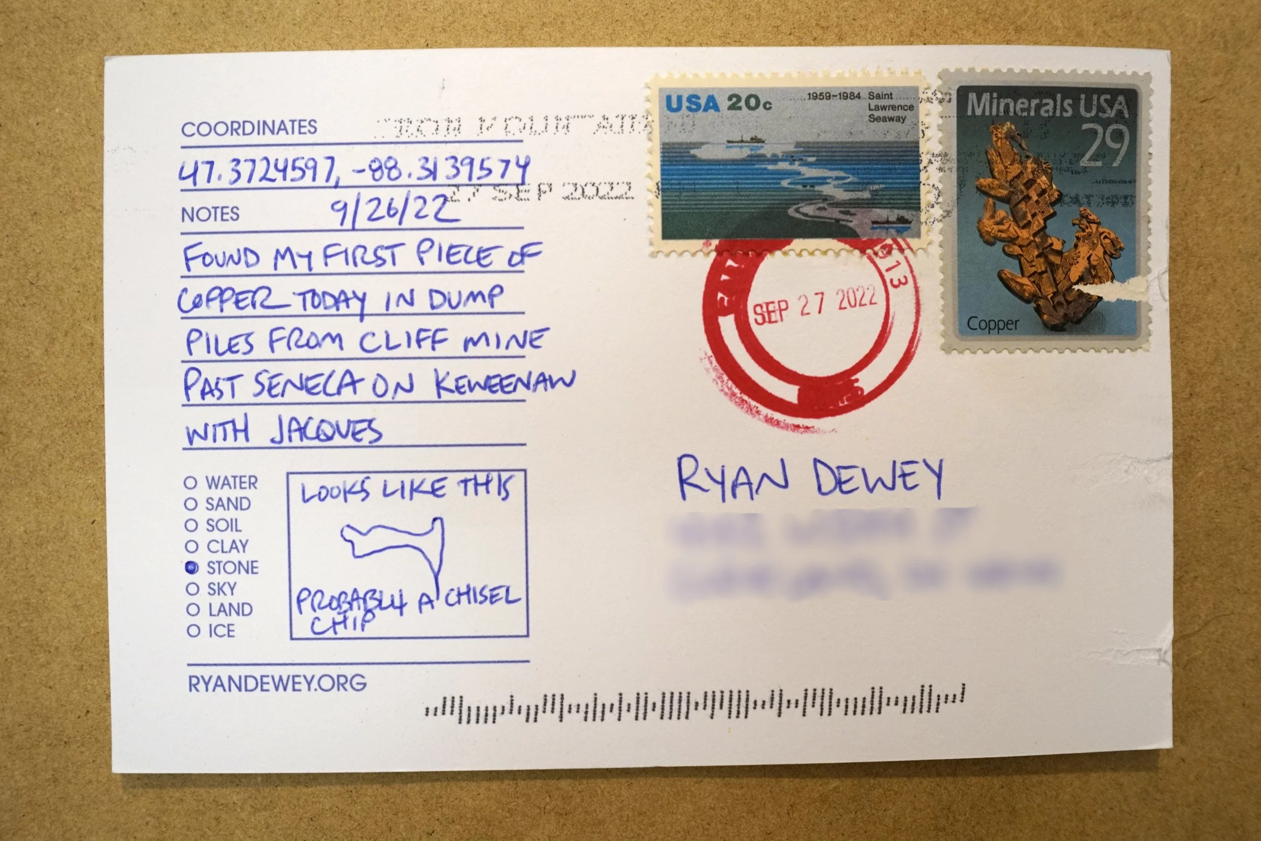
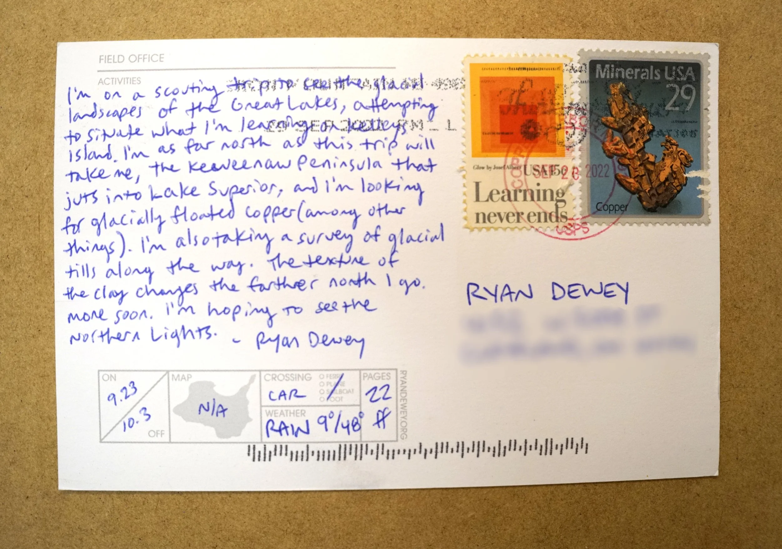
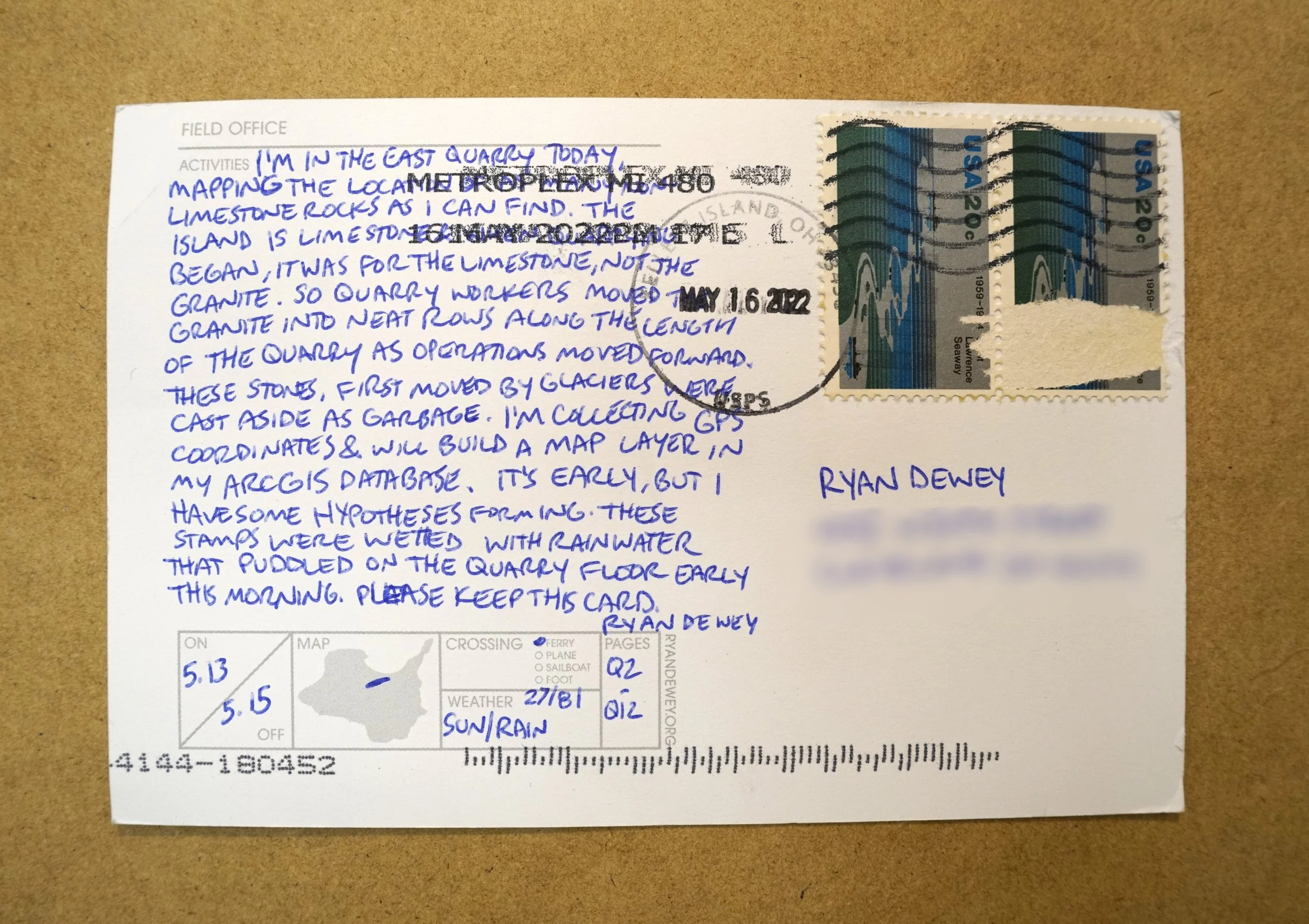
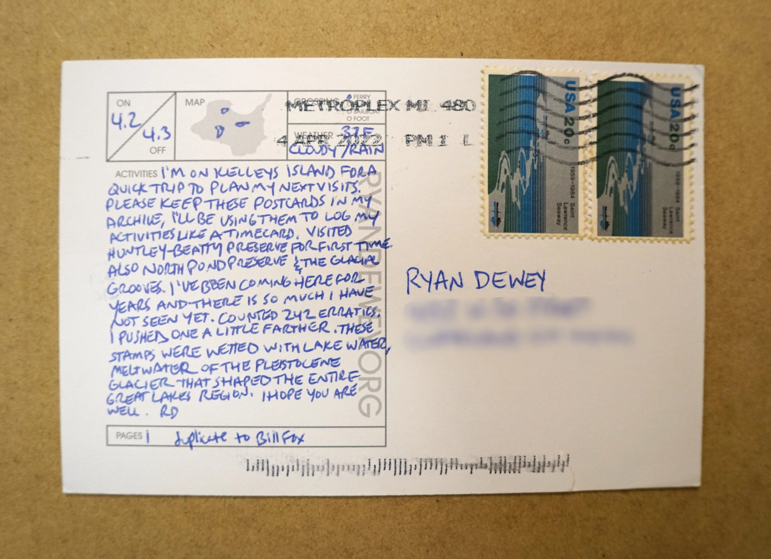
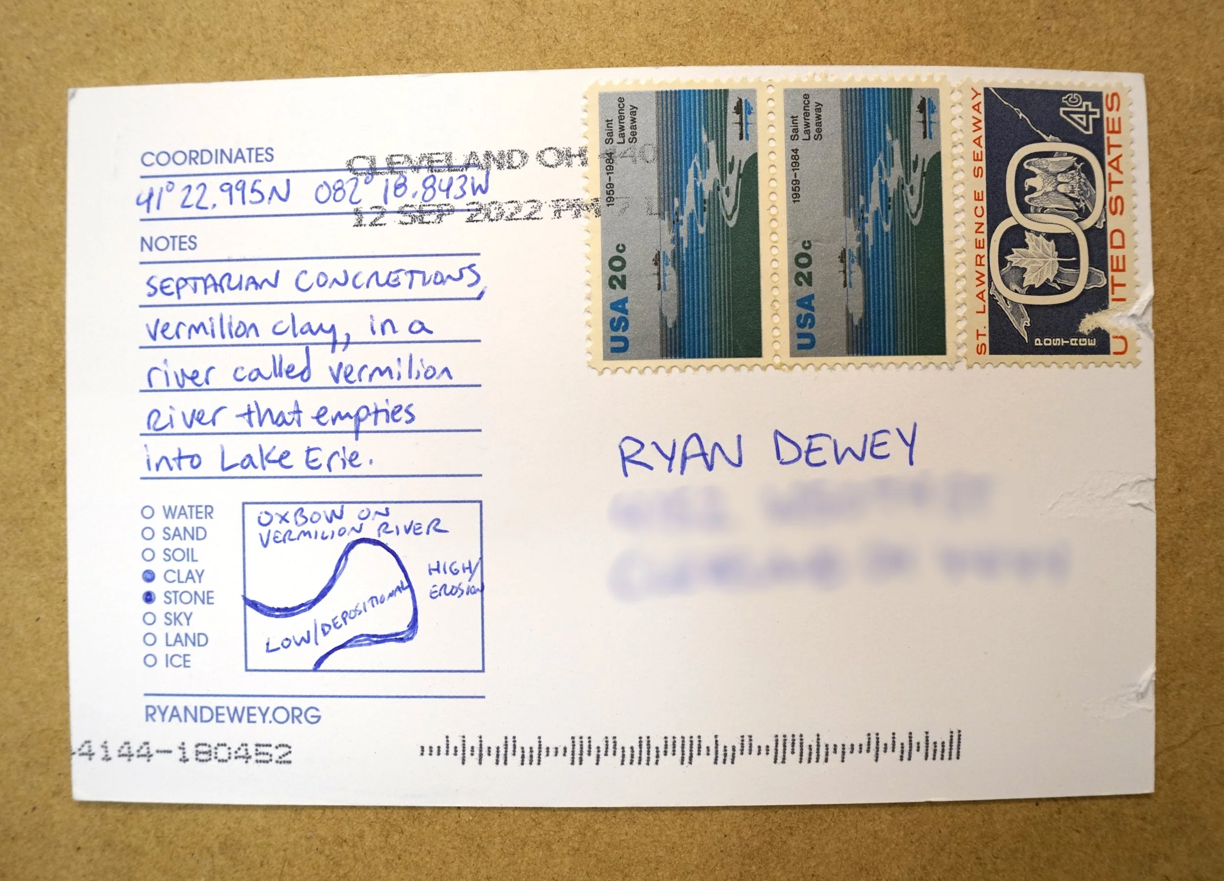
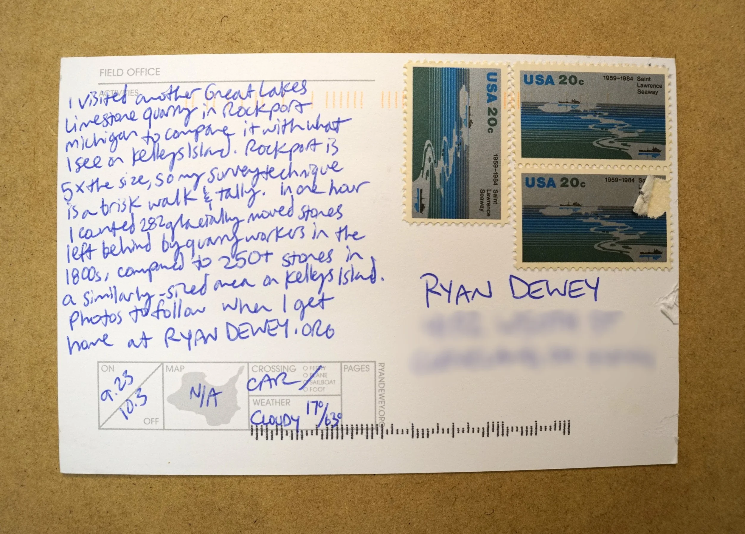
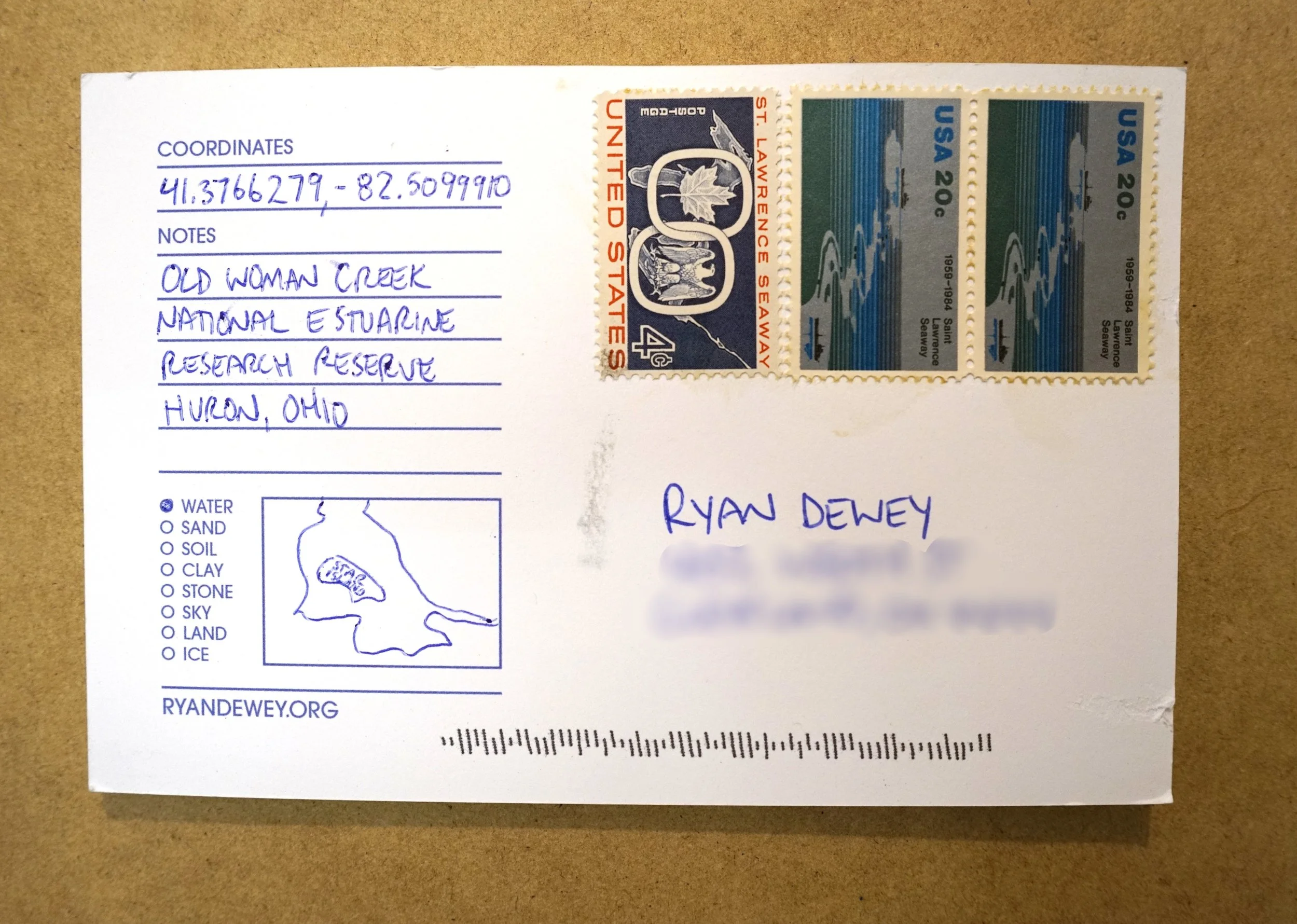
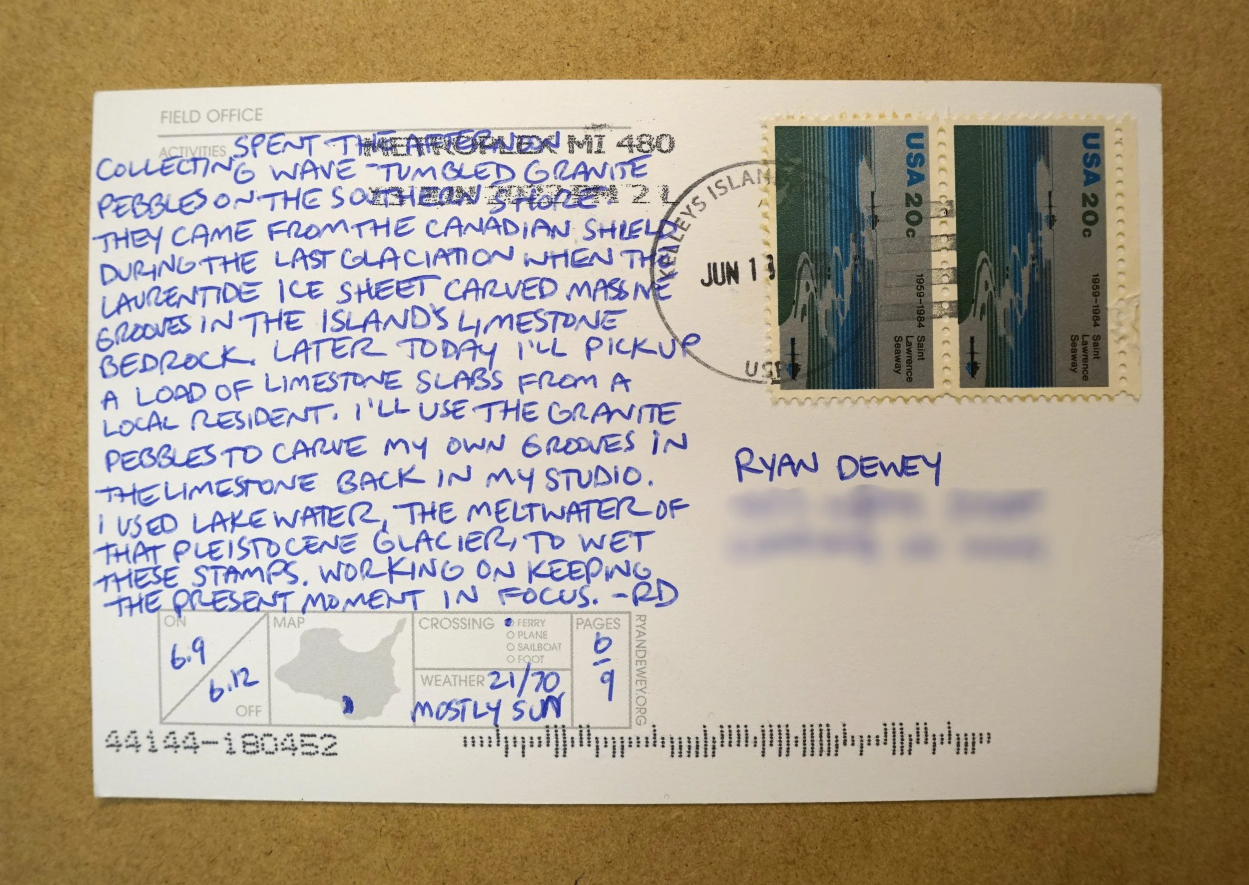
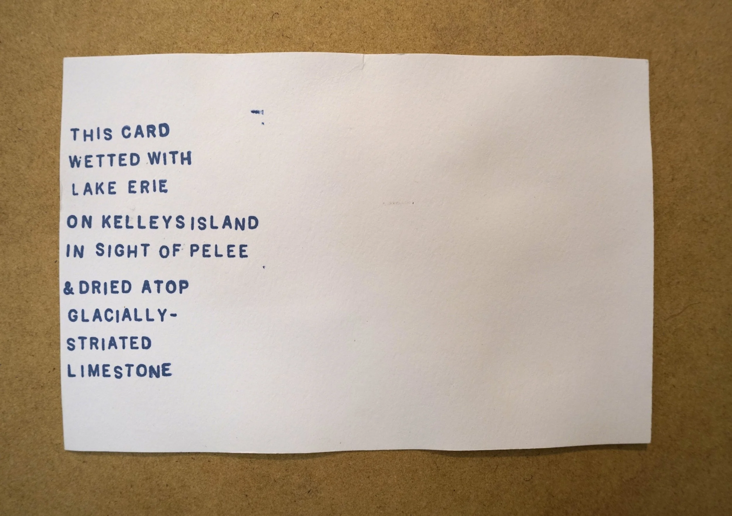
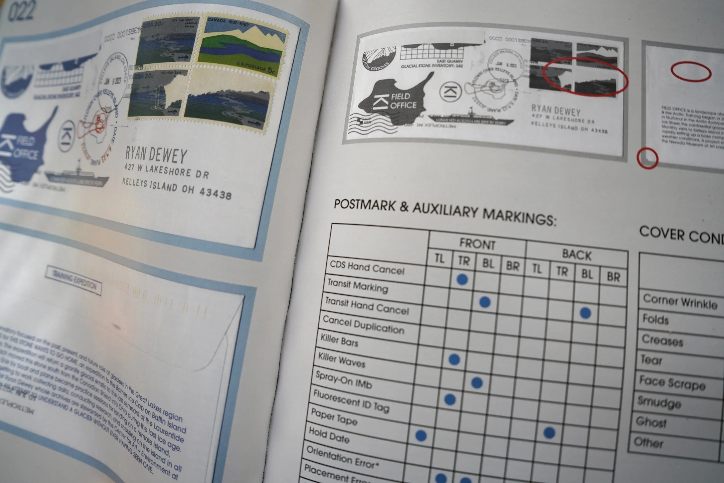
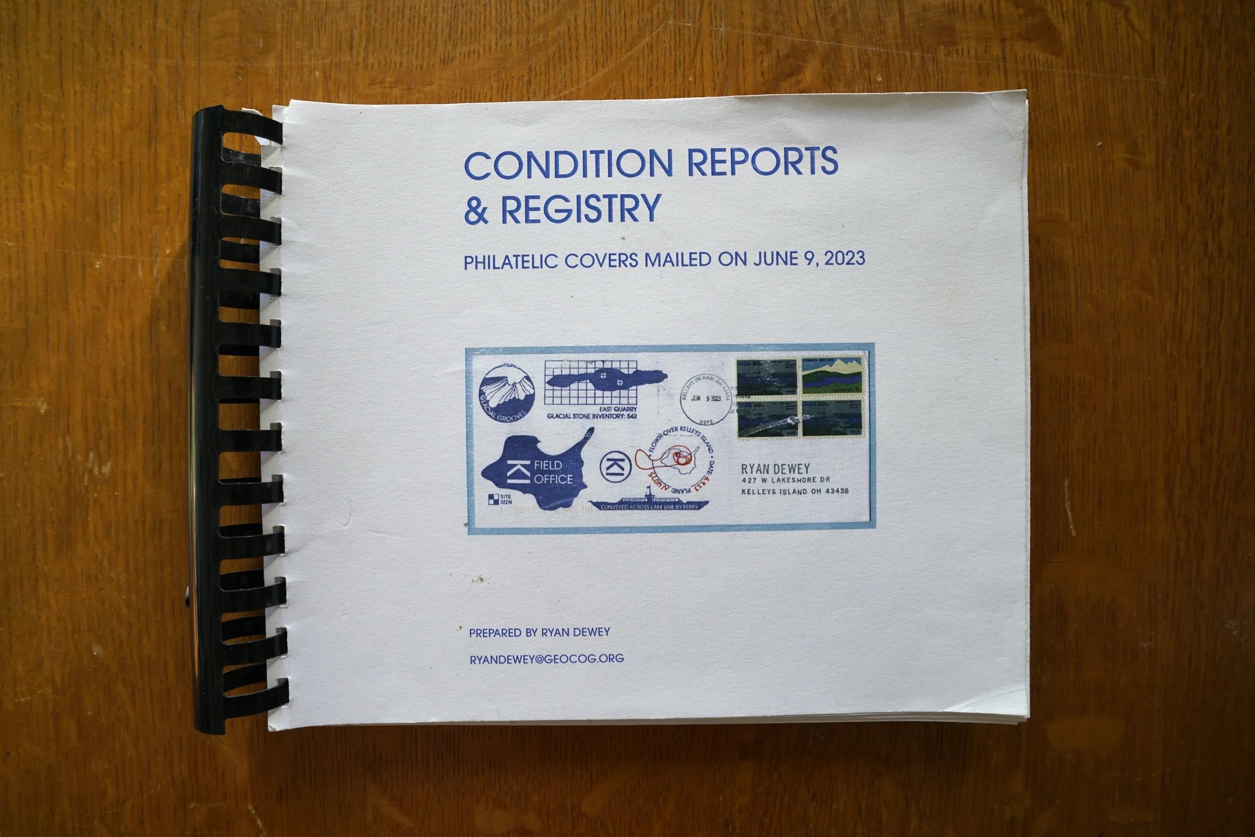
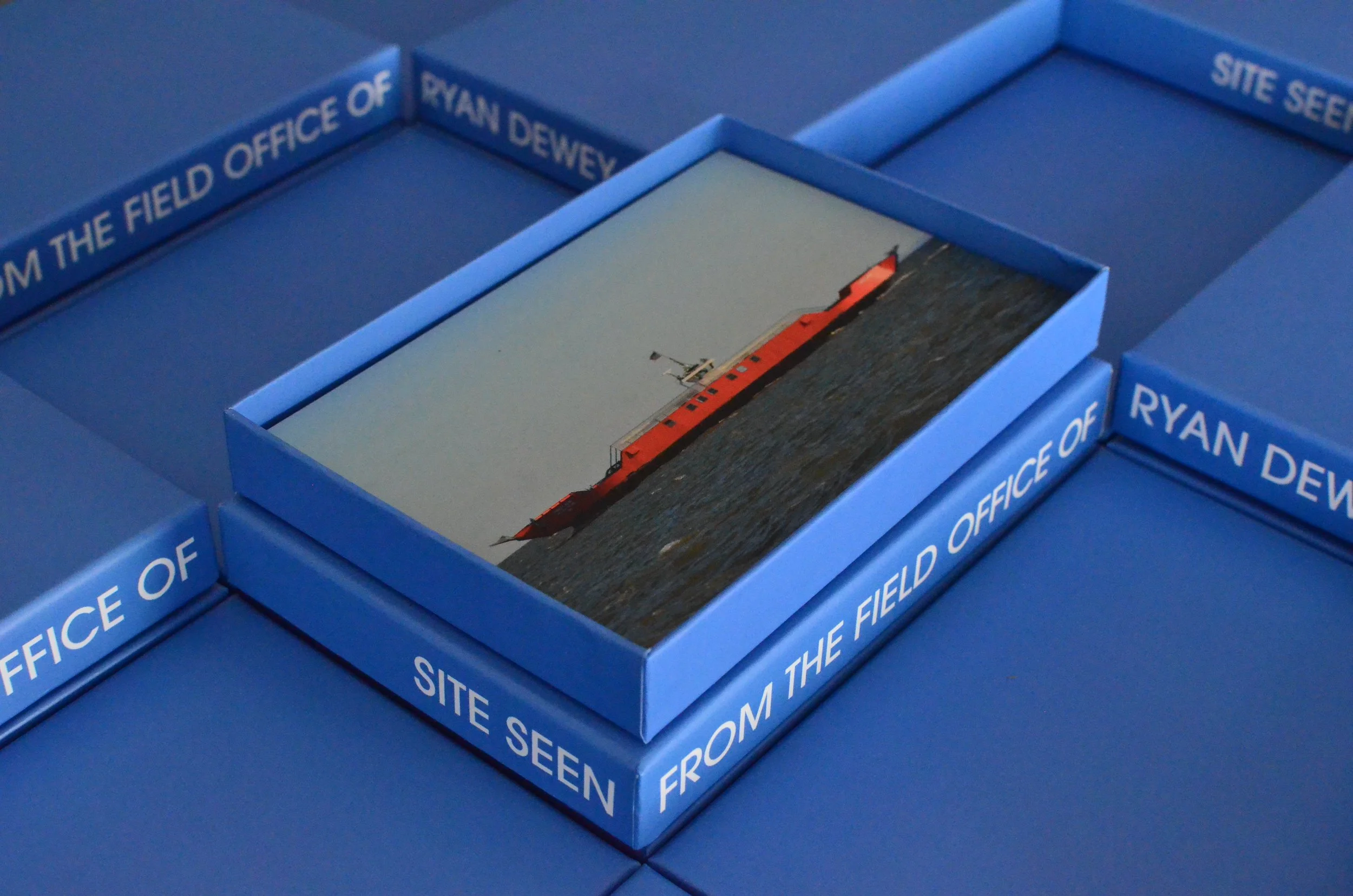
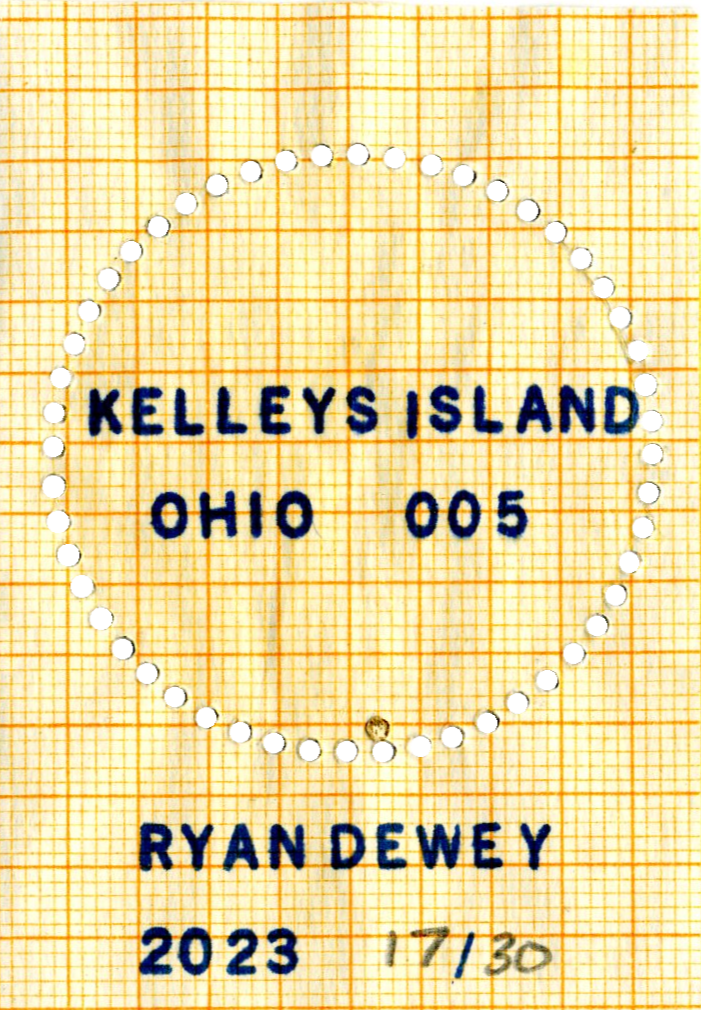
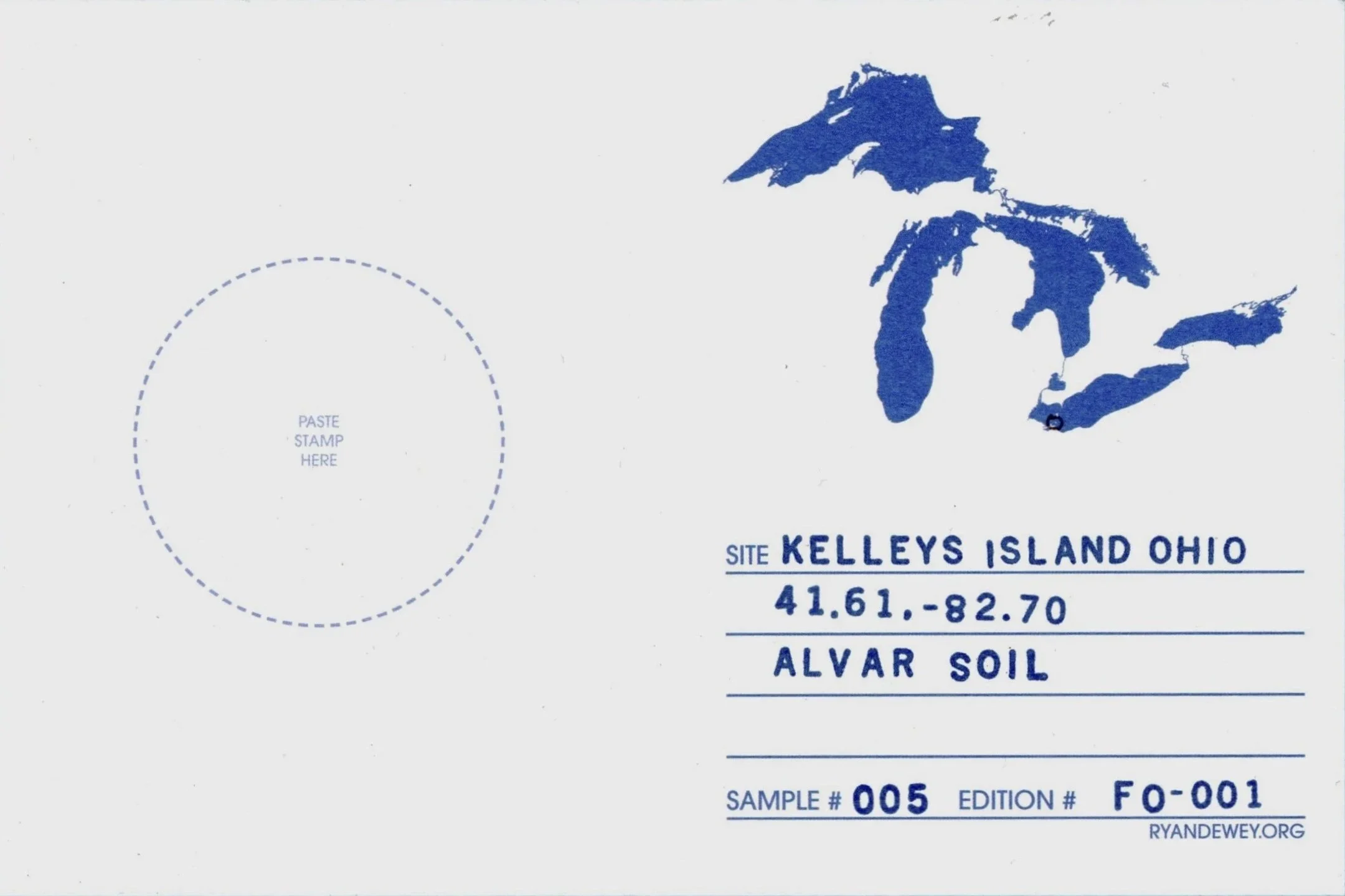
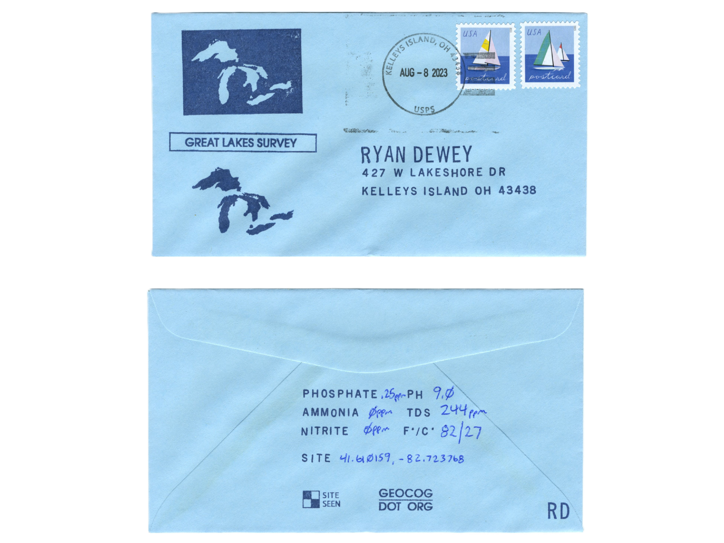
FIELD OFFICE maintains a parallel archive through the postal system, using postcards as serialized field records issued from active sites of observation. Each card is written, stamped, and mailed from the field, registering location, date, conditions, and activity while allowing transit, handling, and return to complete the record. Produced as timecards, these dispatches function simultaneously as field logs, proof of presence, portable archives, and material witnesses to duration and movement. The practice draws from traditions of QSL cards, expeditionary mail, paquebots, and polar cachets, where circulation itself becomes a form of documentation. Some cards enter institutional collections, including museum archives, others return to the studio archive, and a limited number remain available for collection, preserving FIELD OFFICE activity through systems designed to record passage rather than permanence.

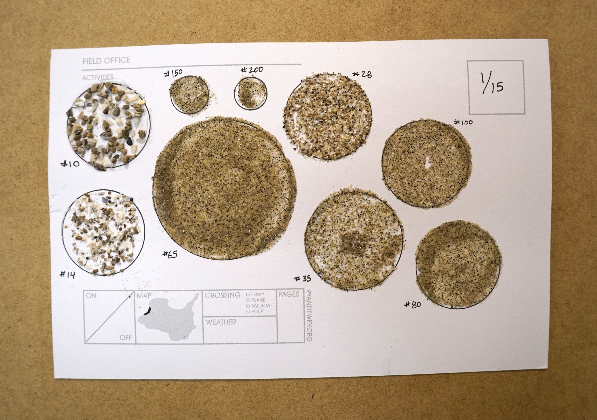
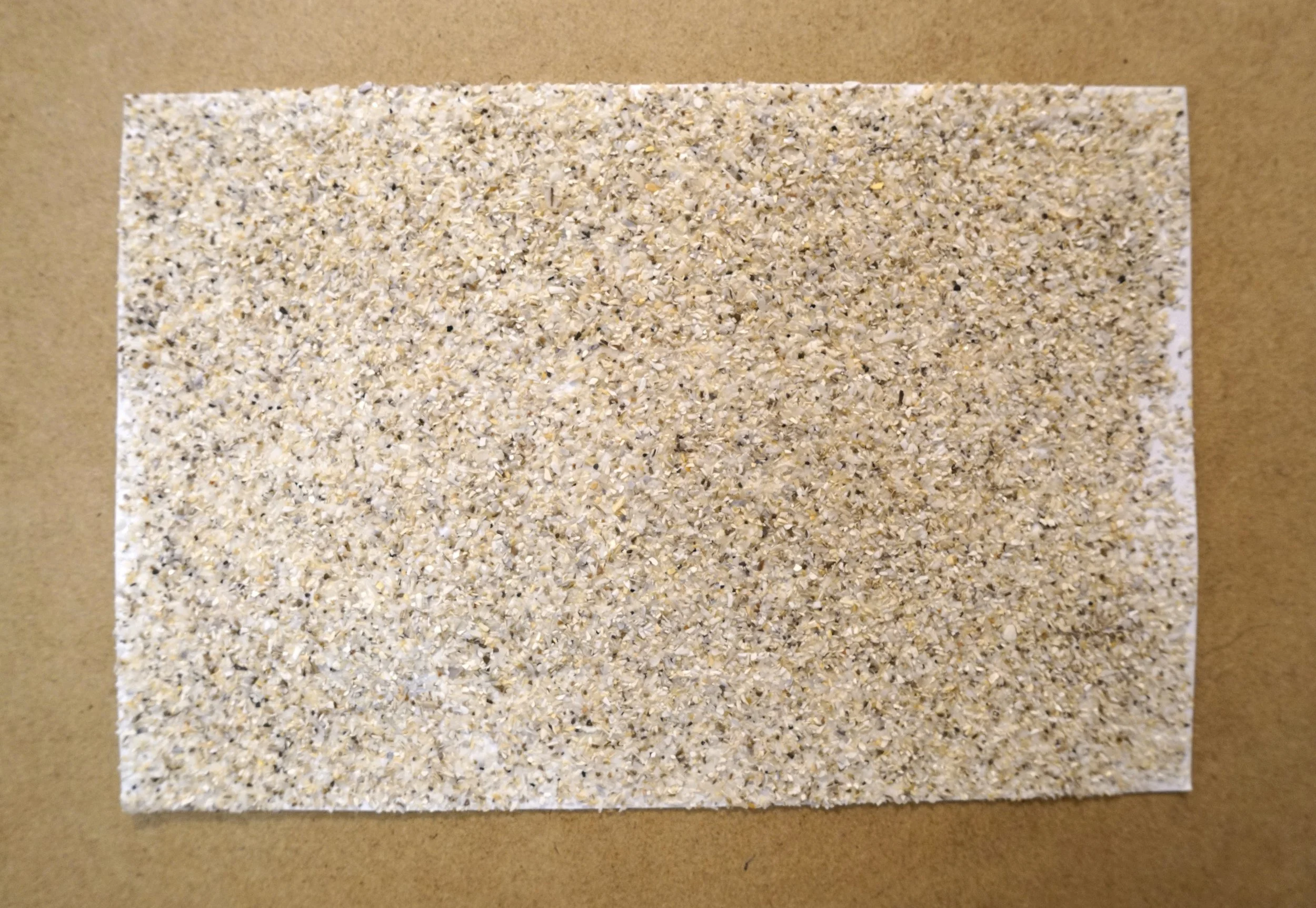
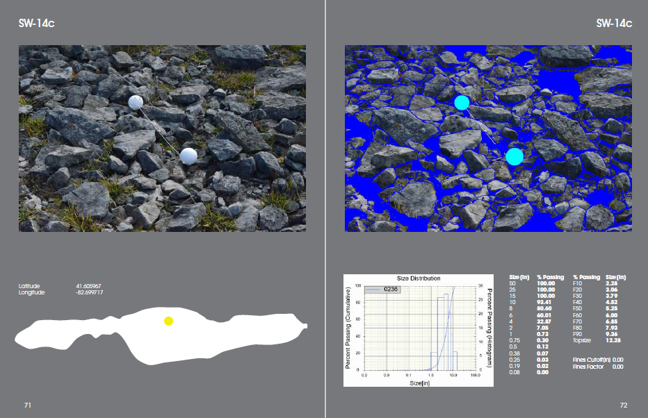
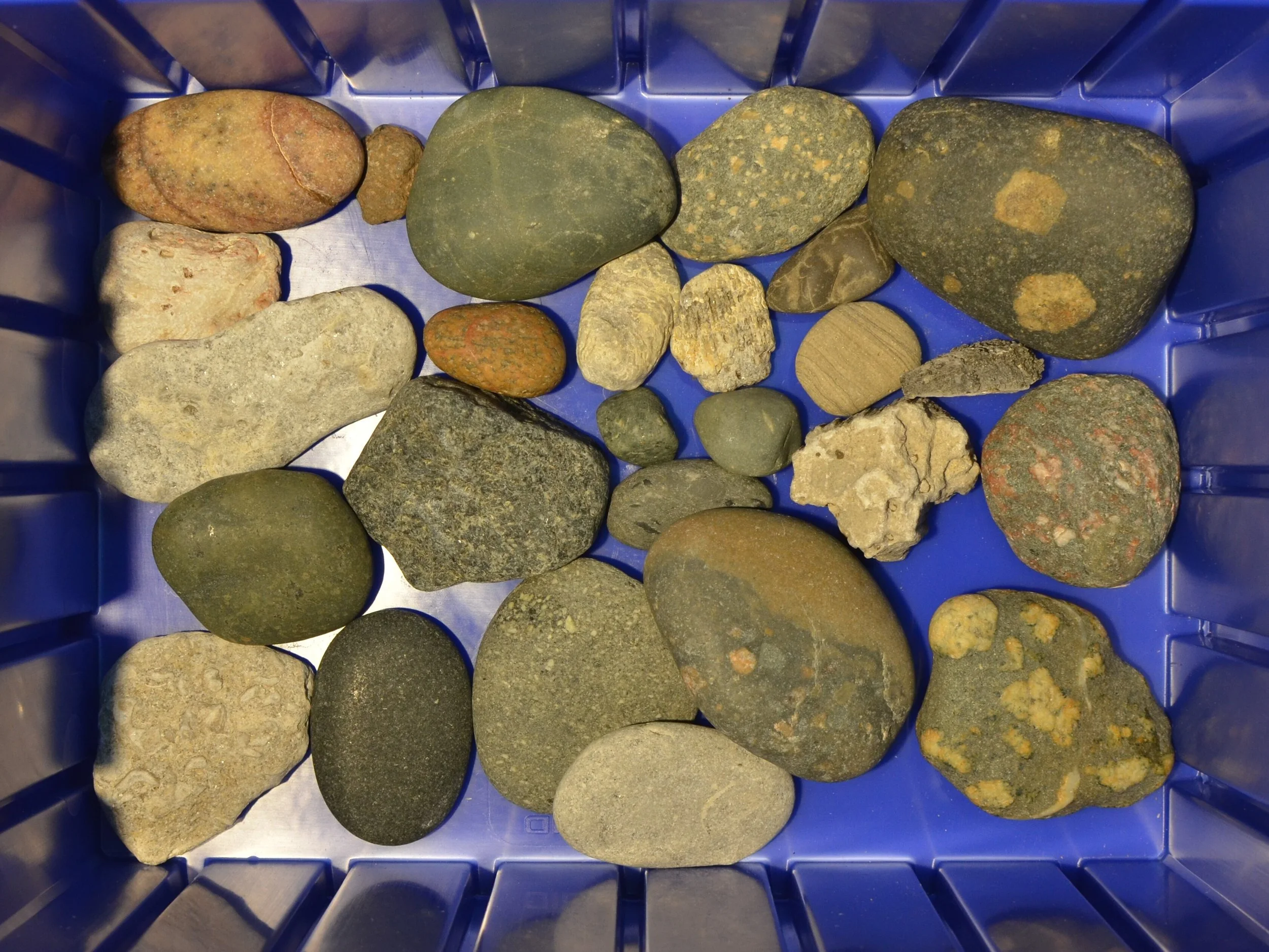
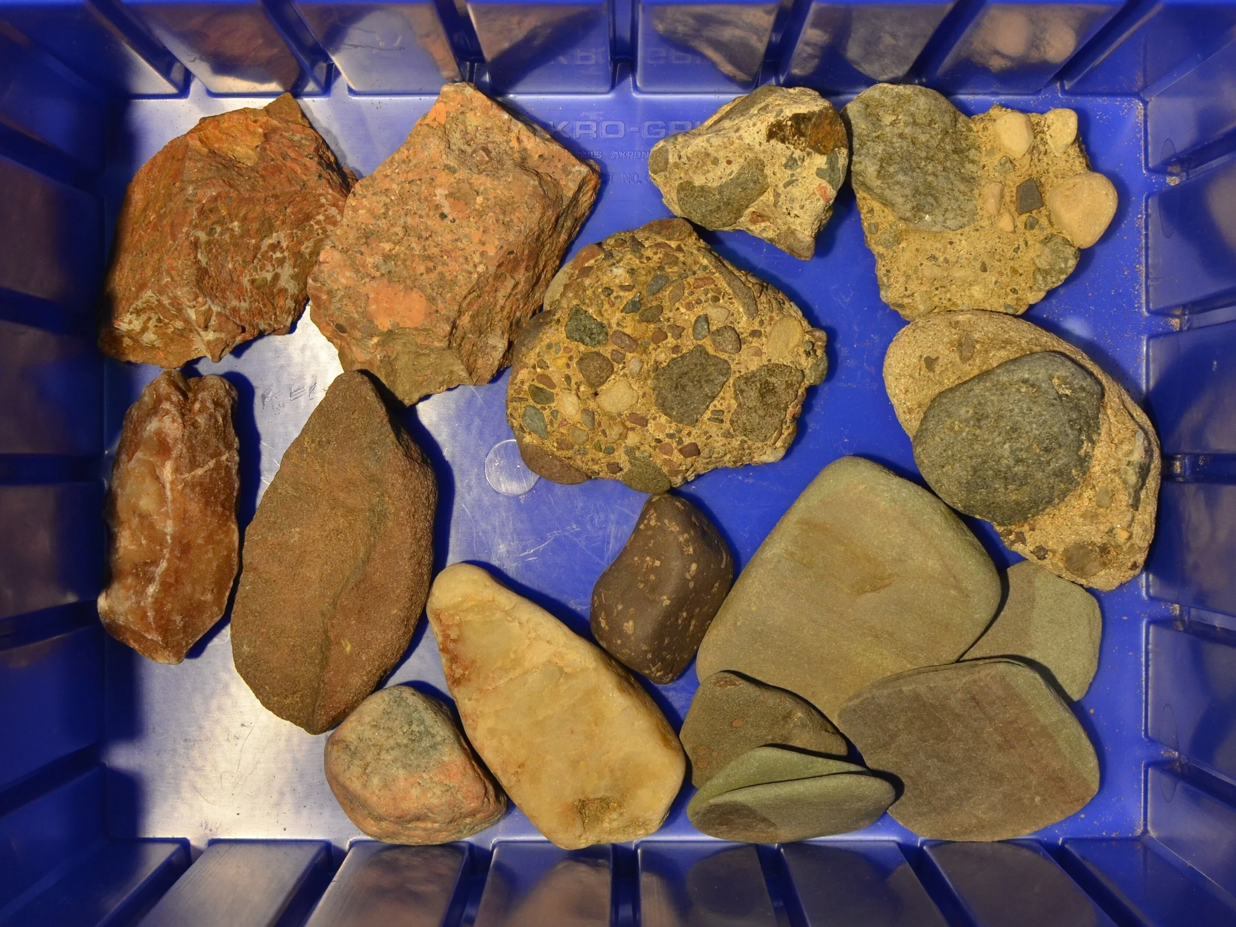
Statistical Image Analysis
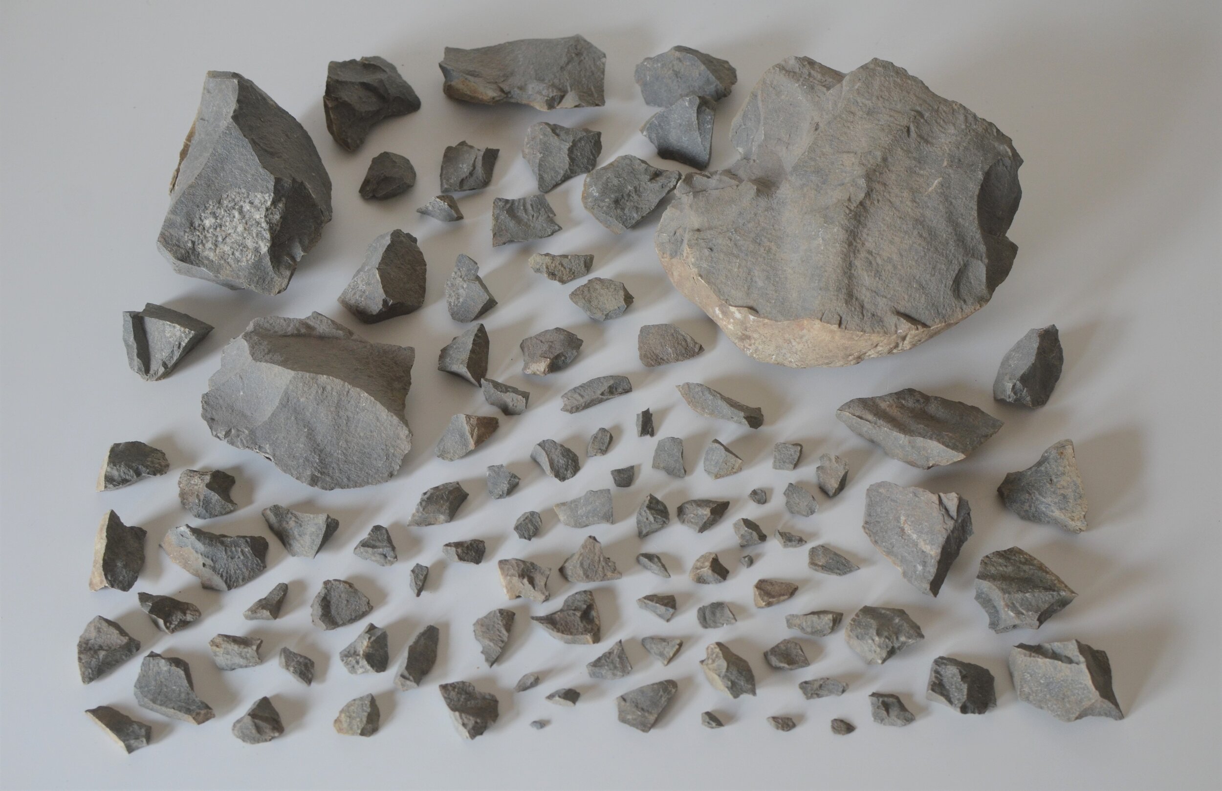
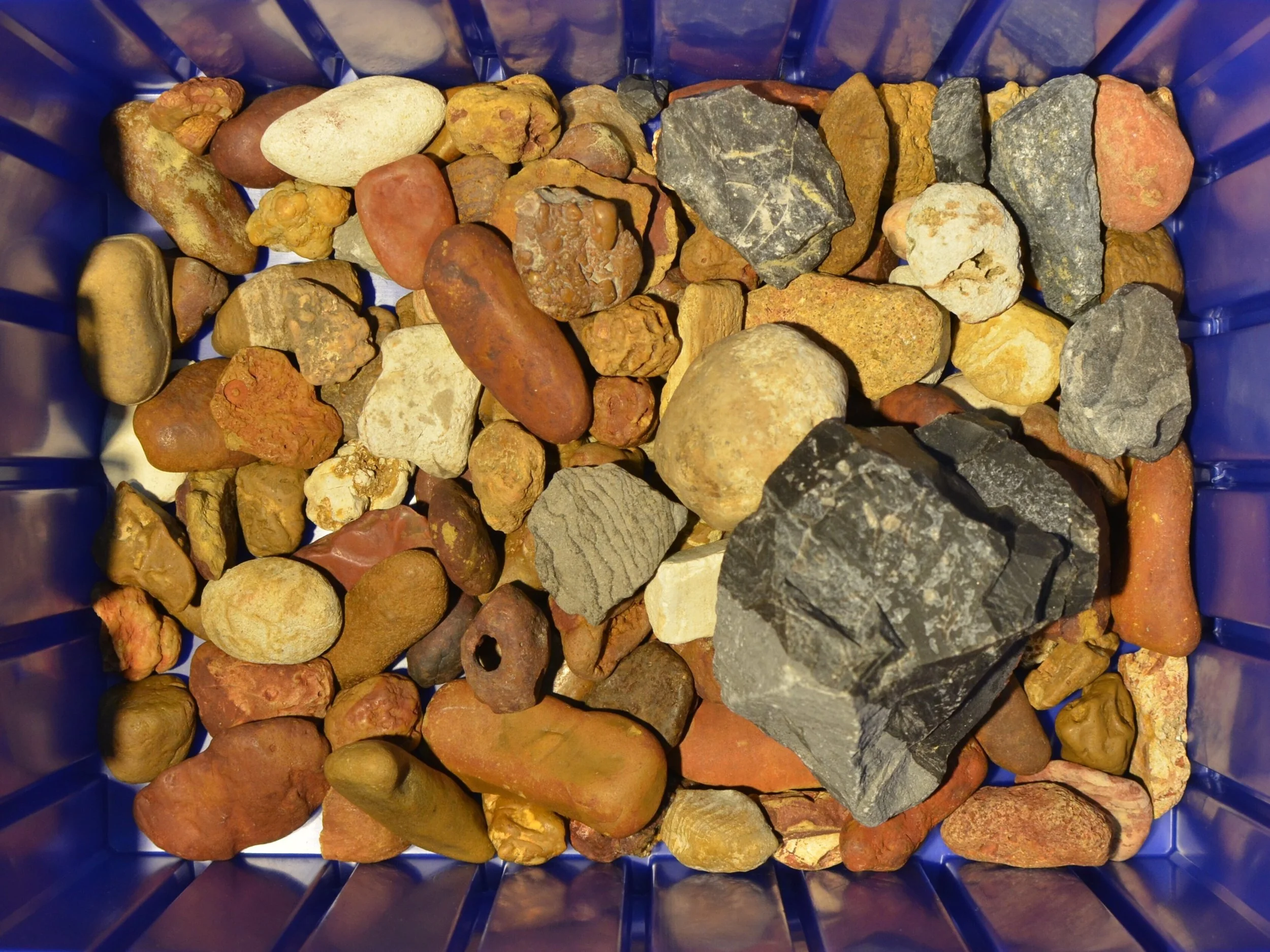
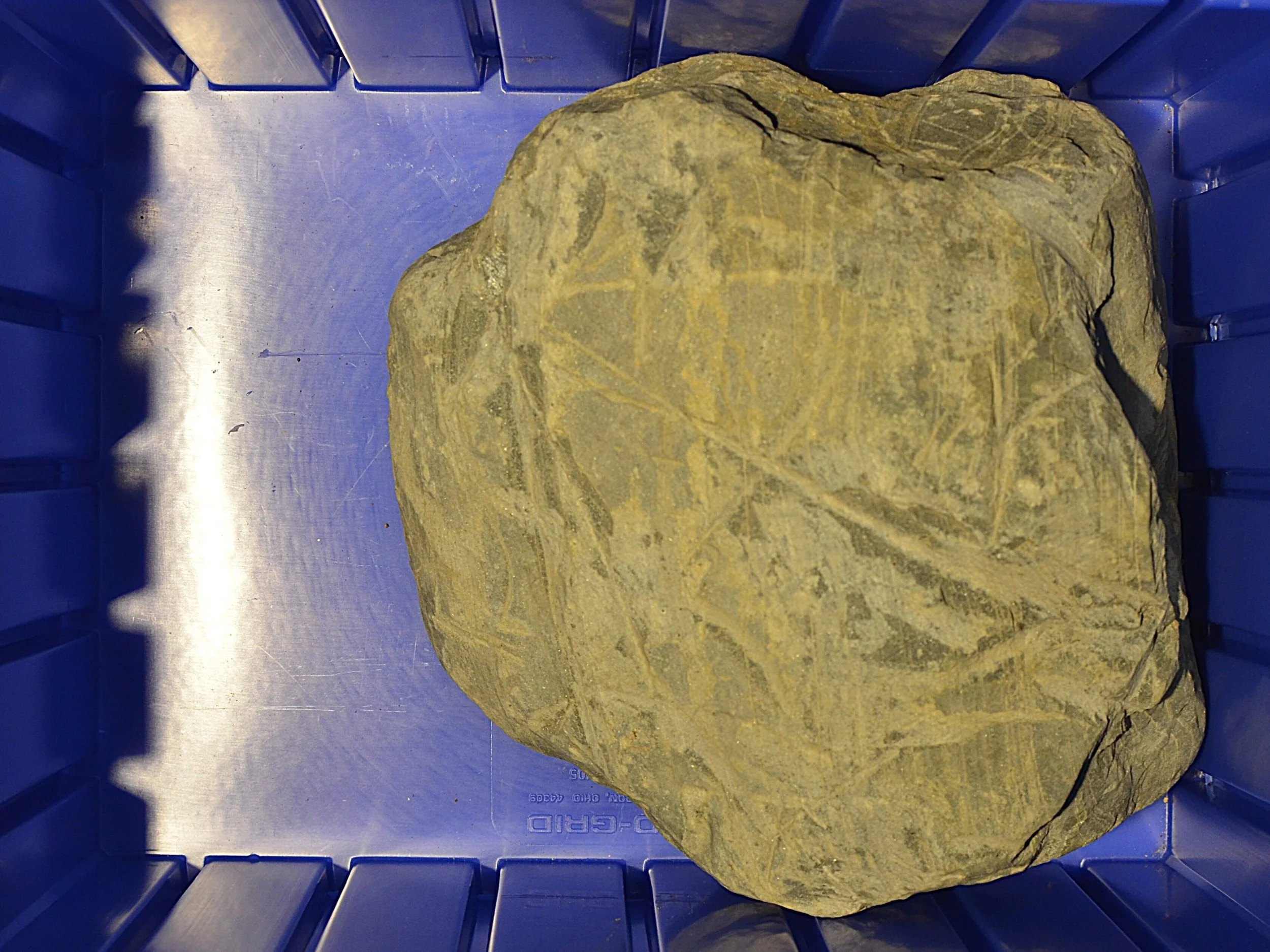
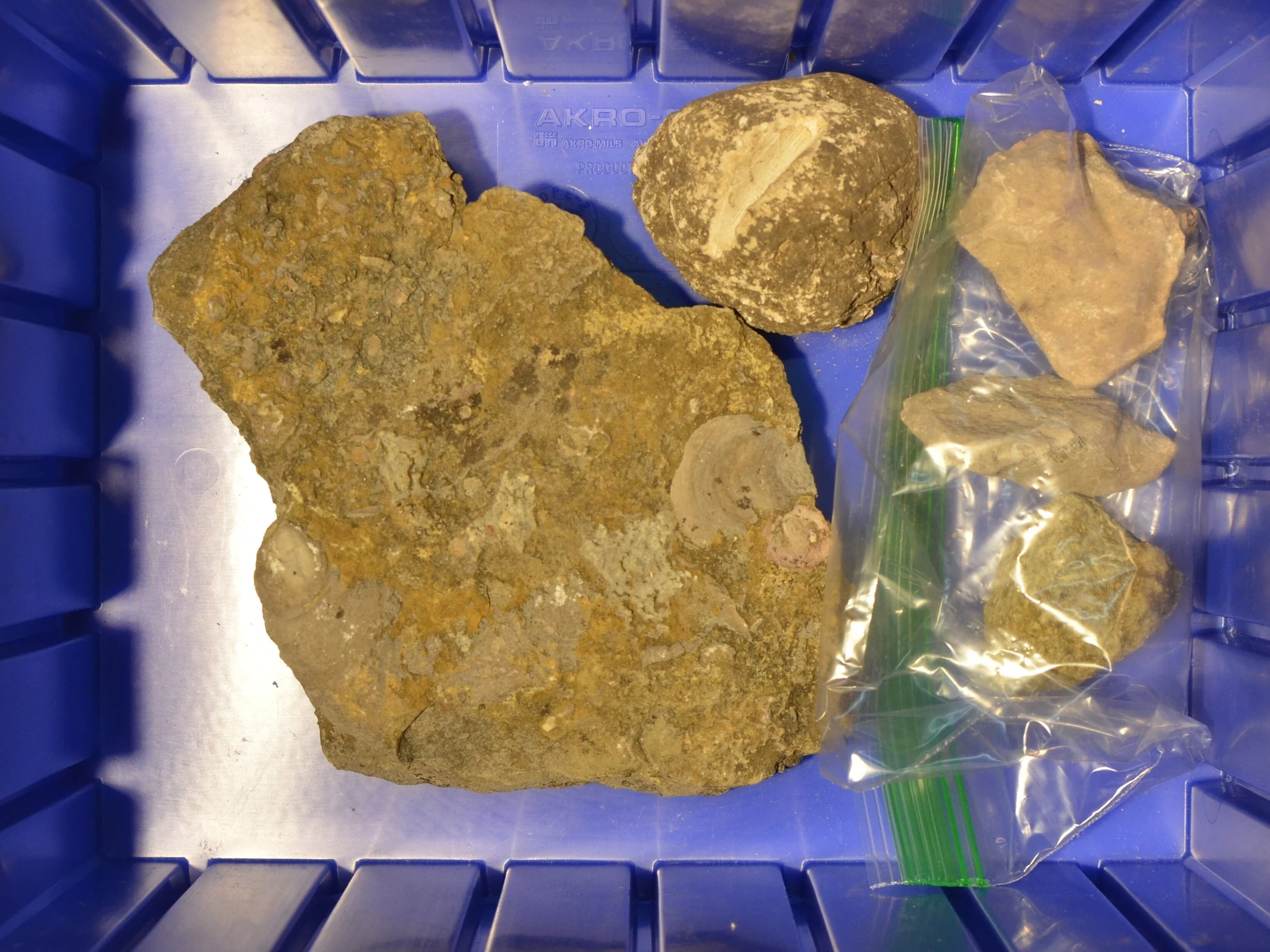
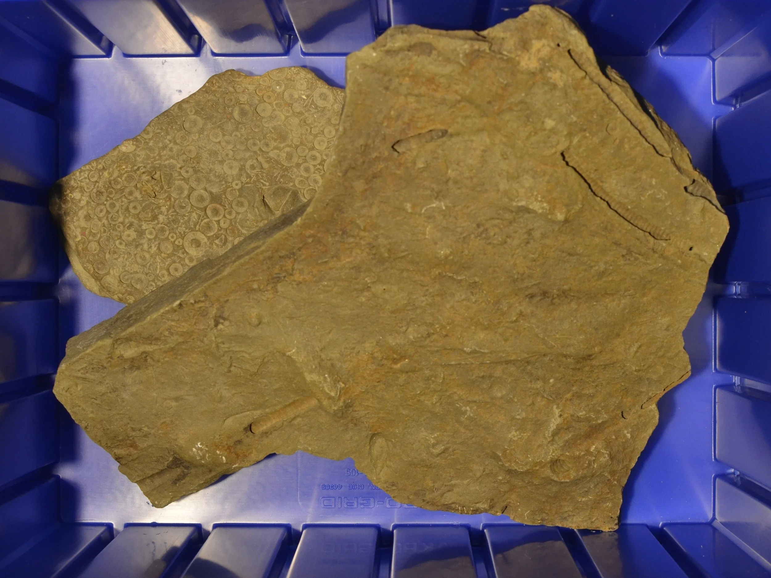
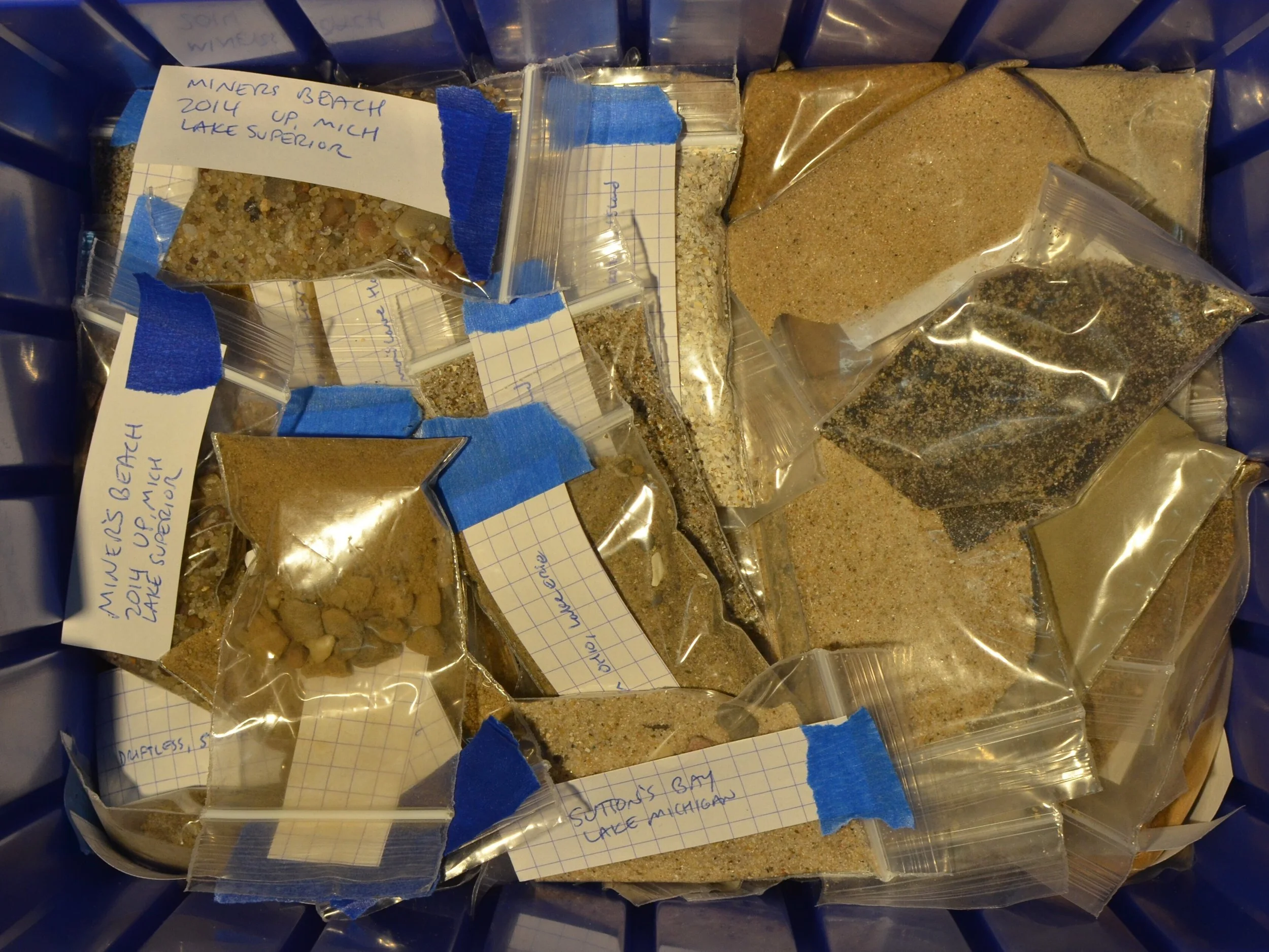
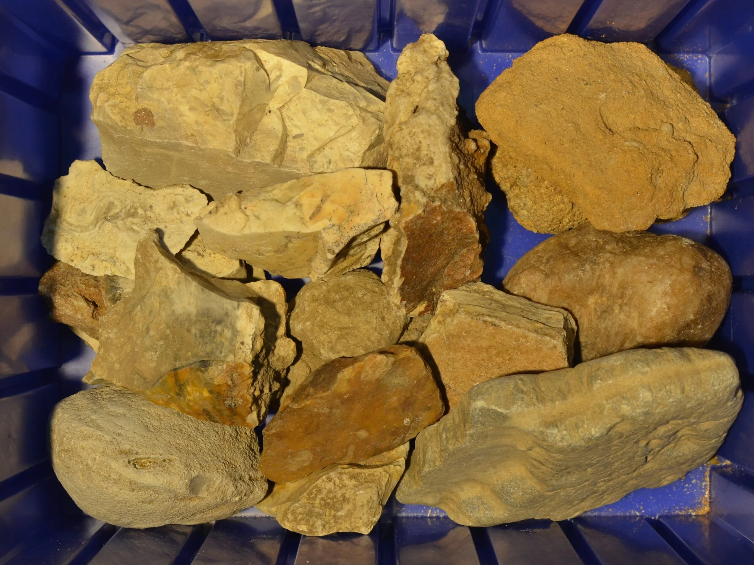
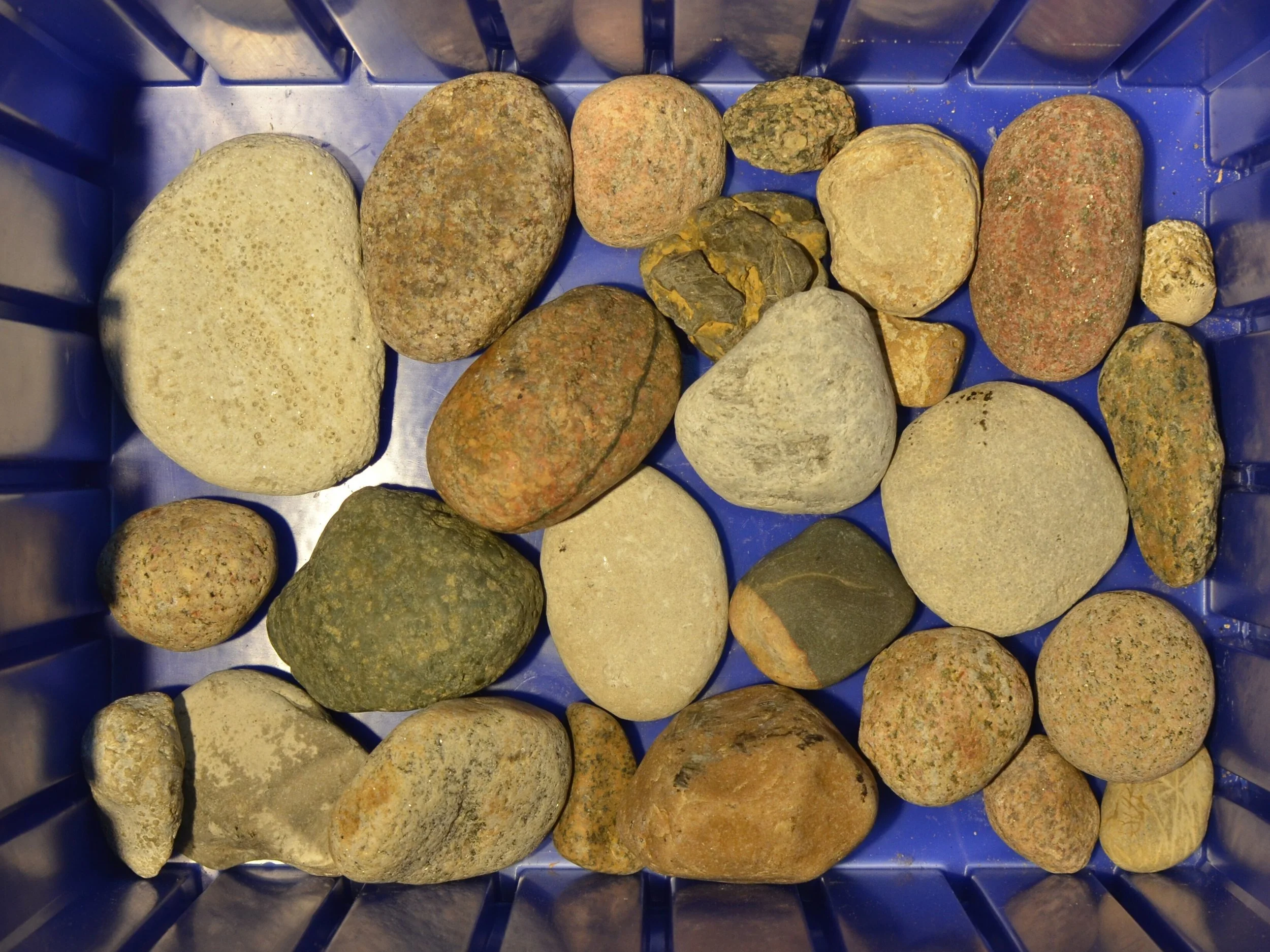
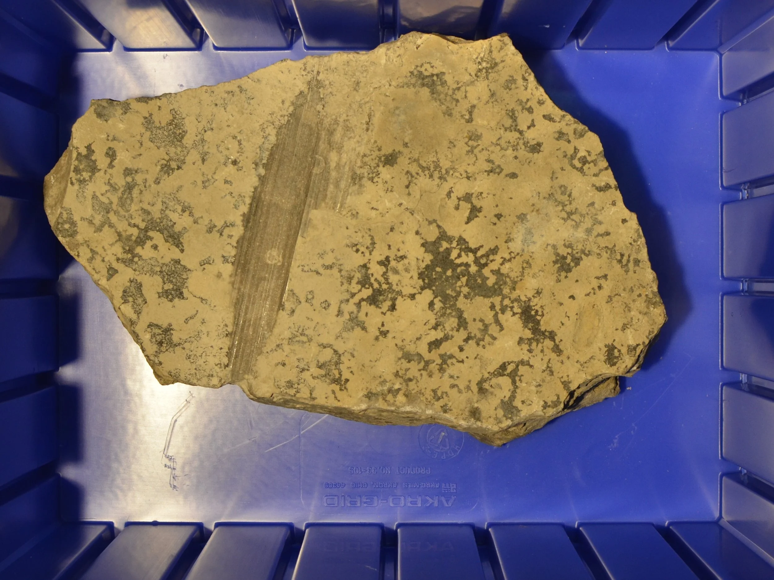
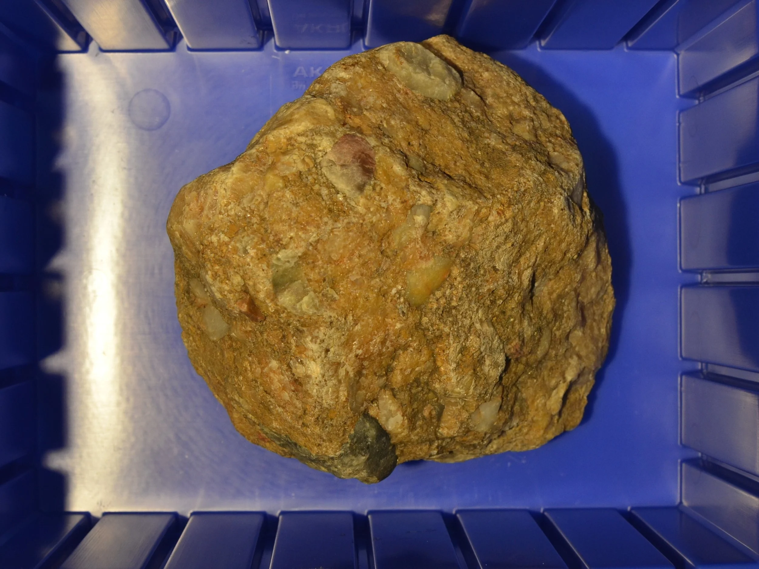
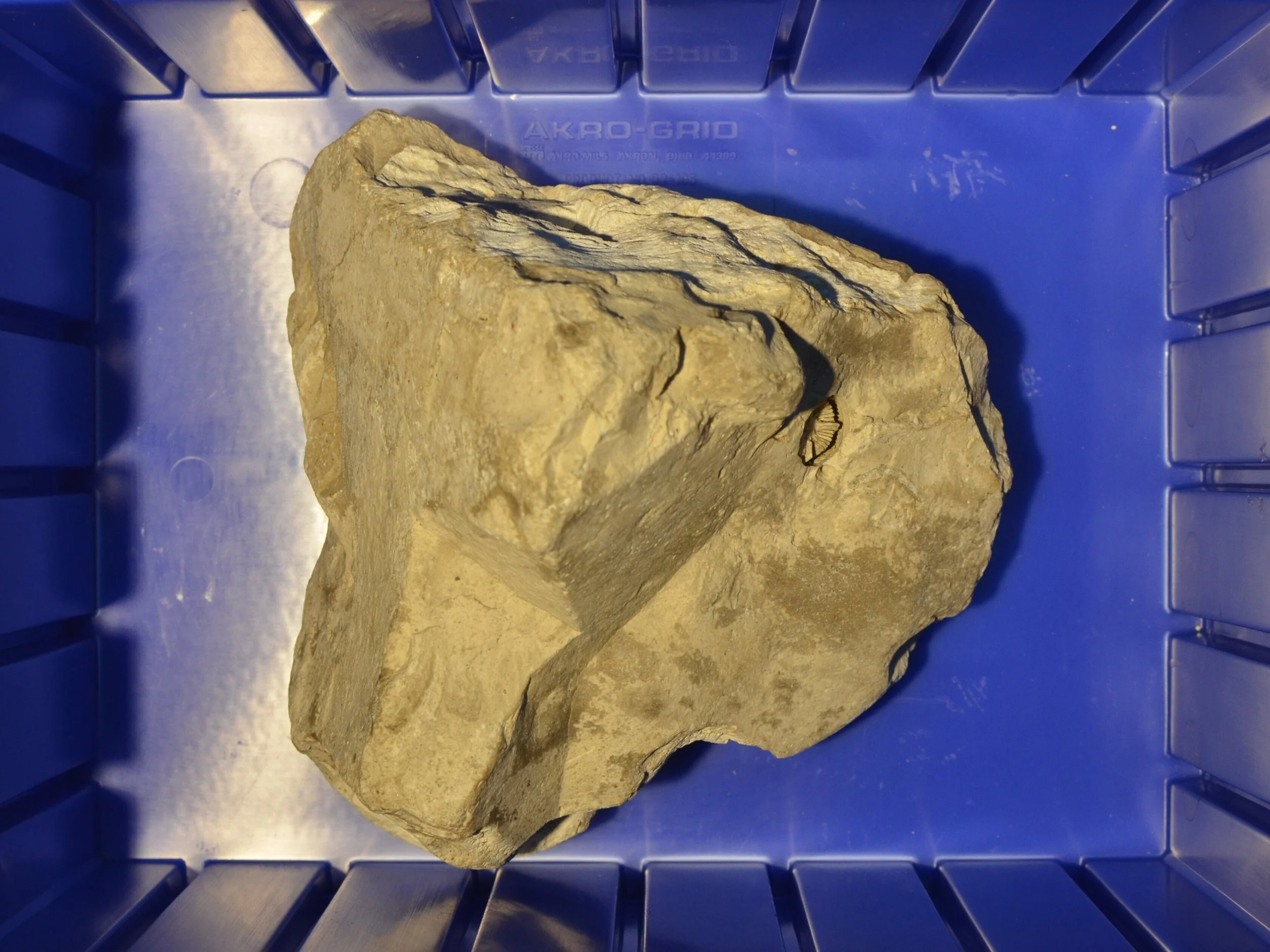
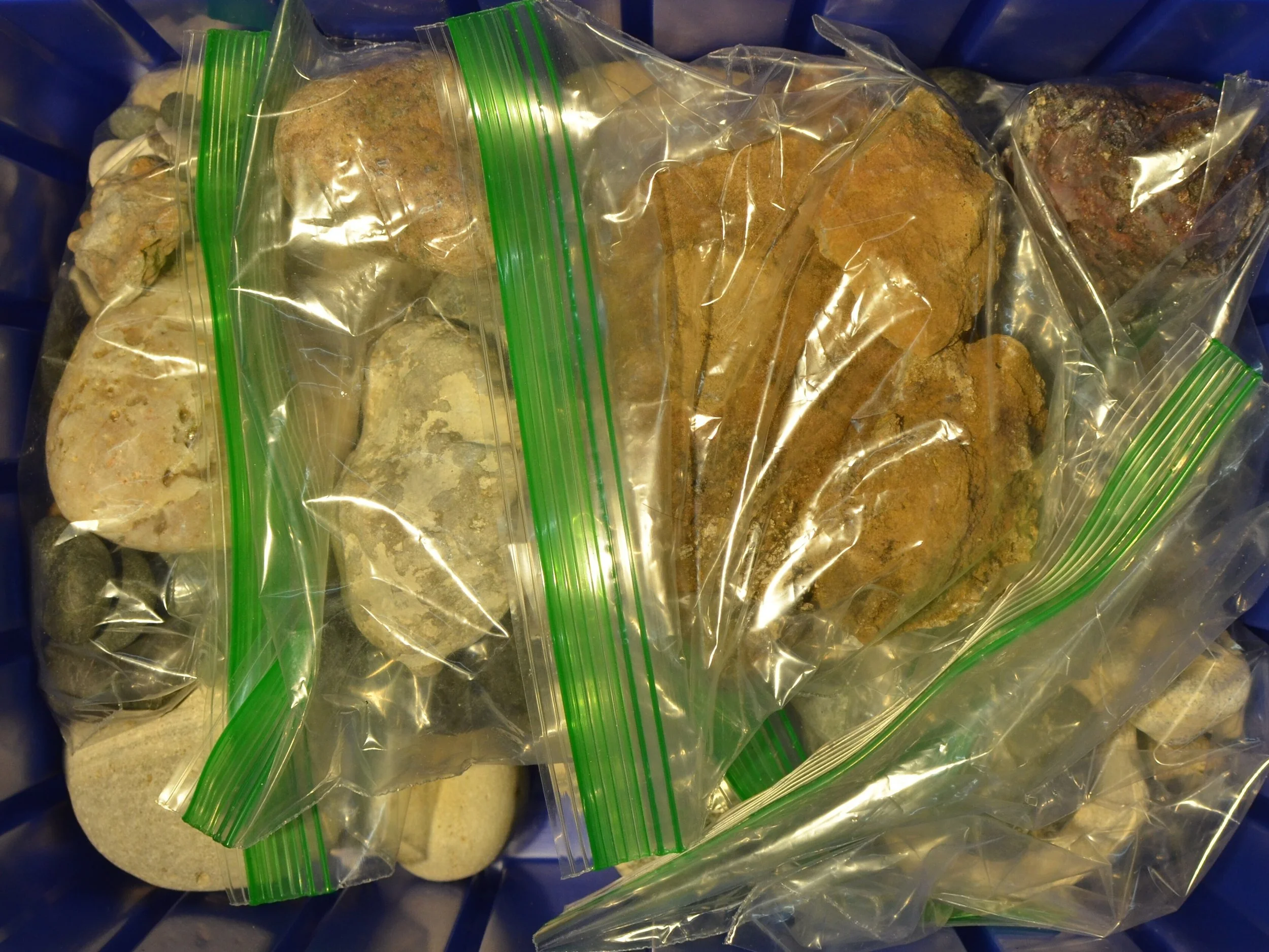
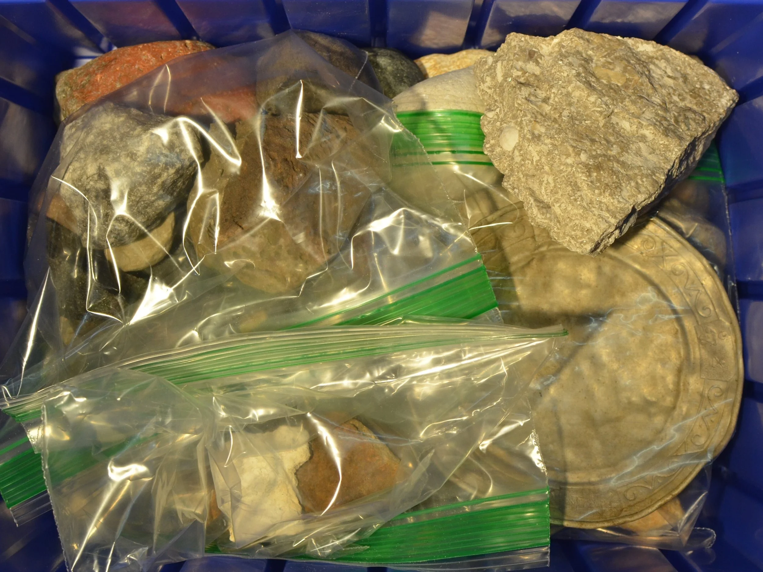
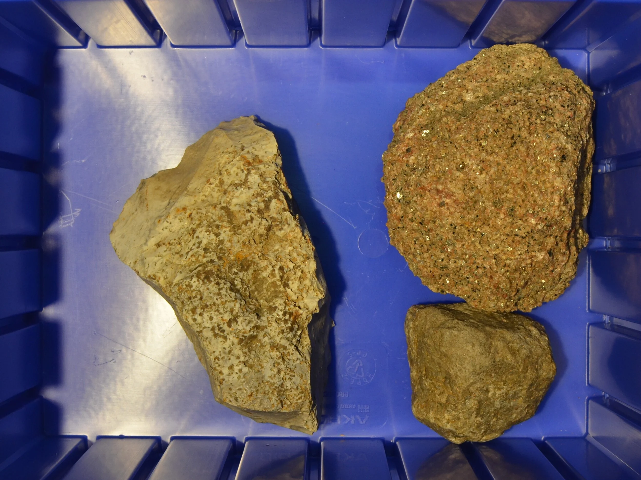
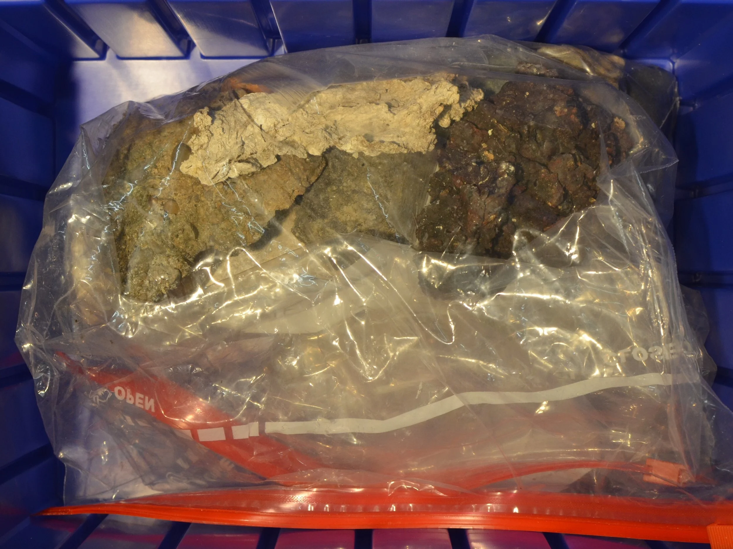
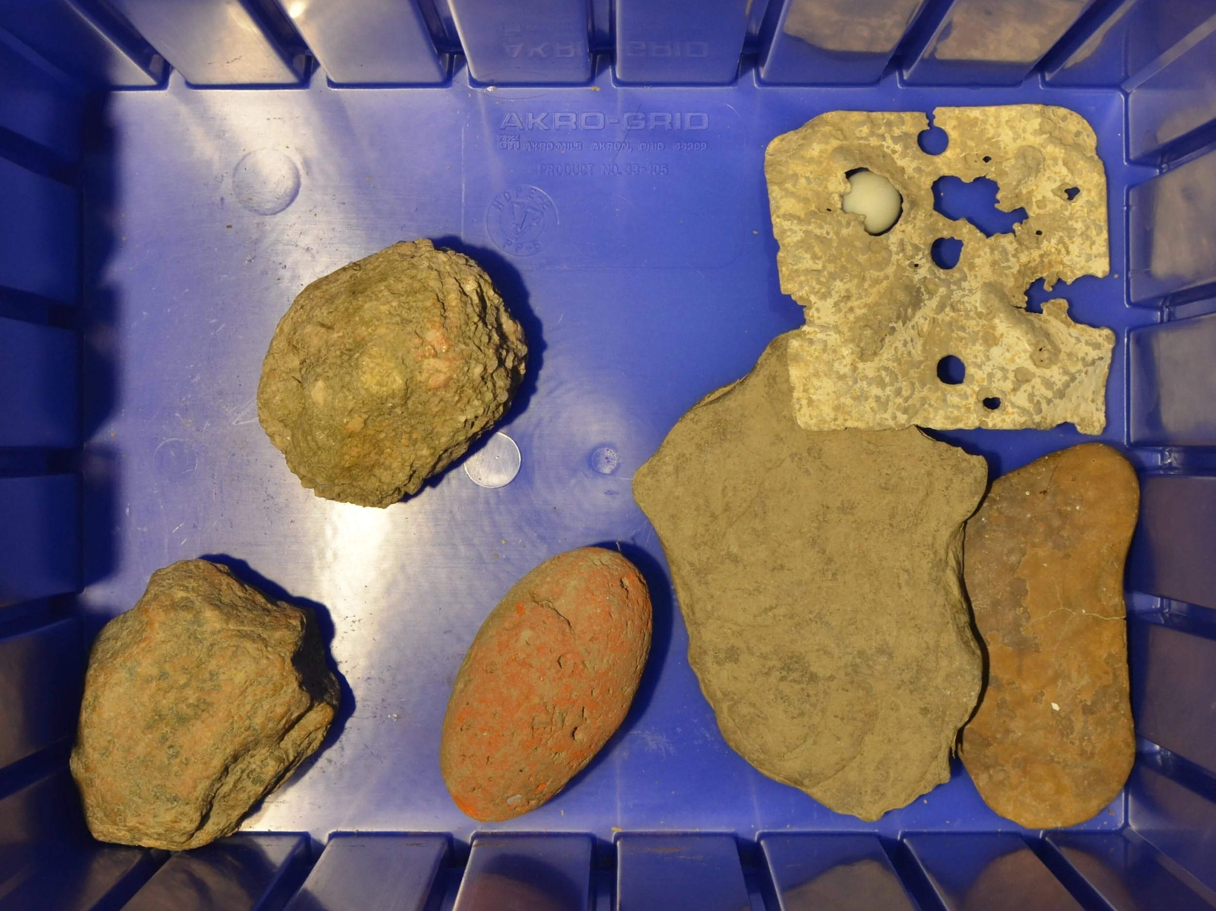
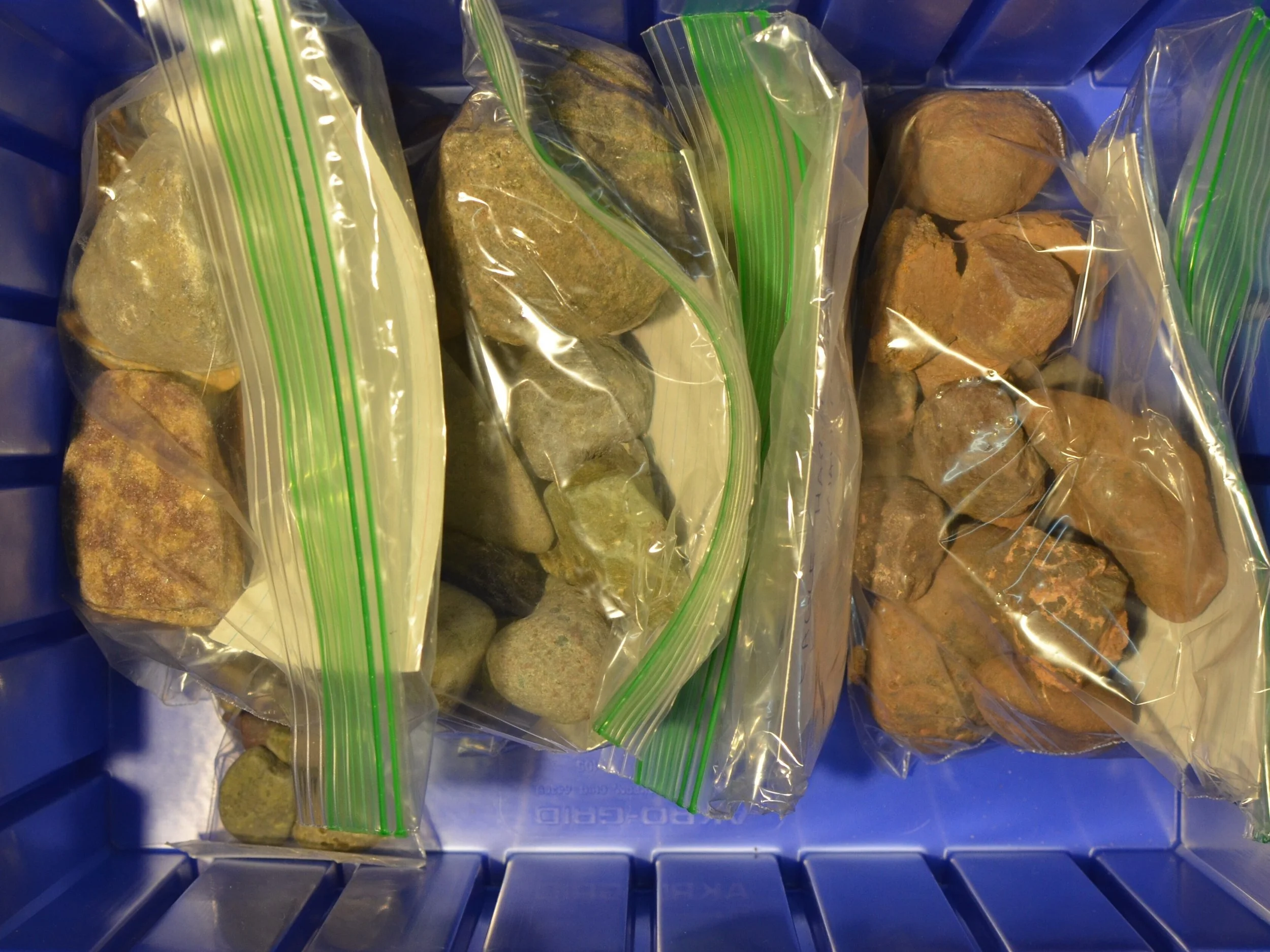
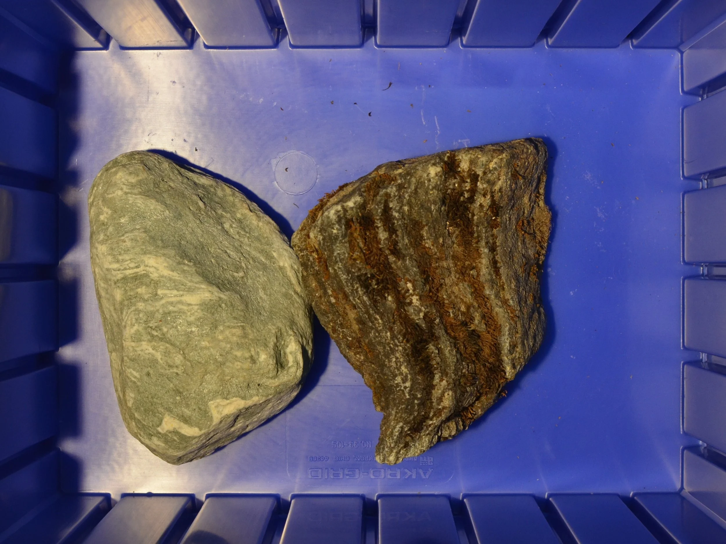
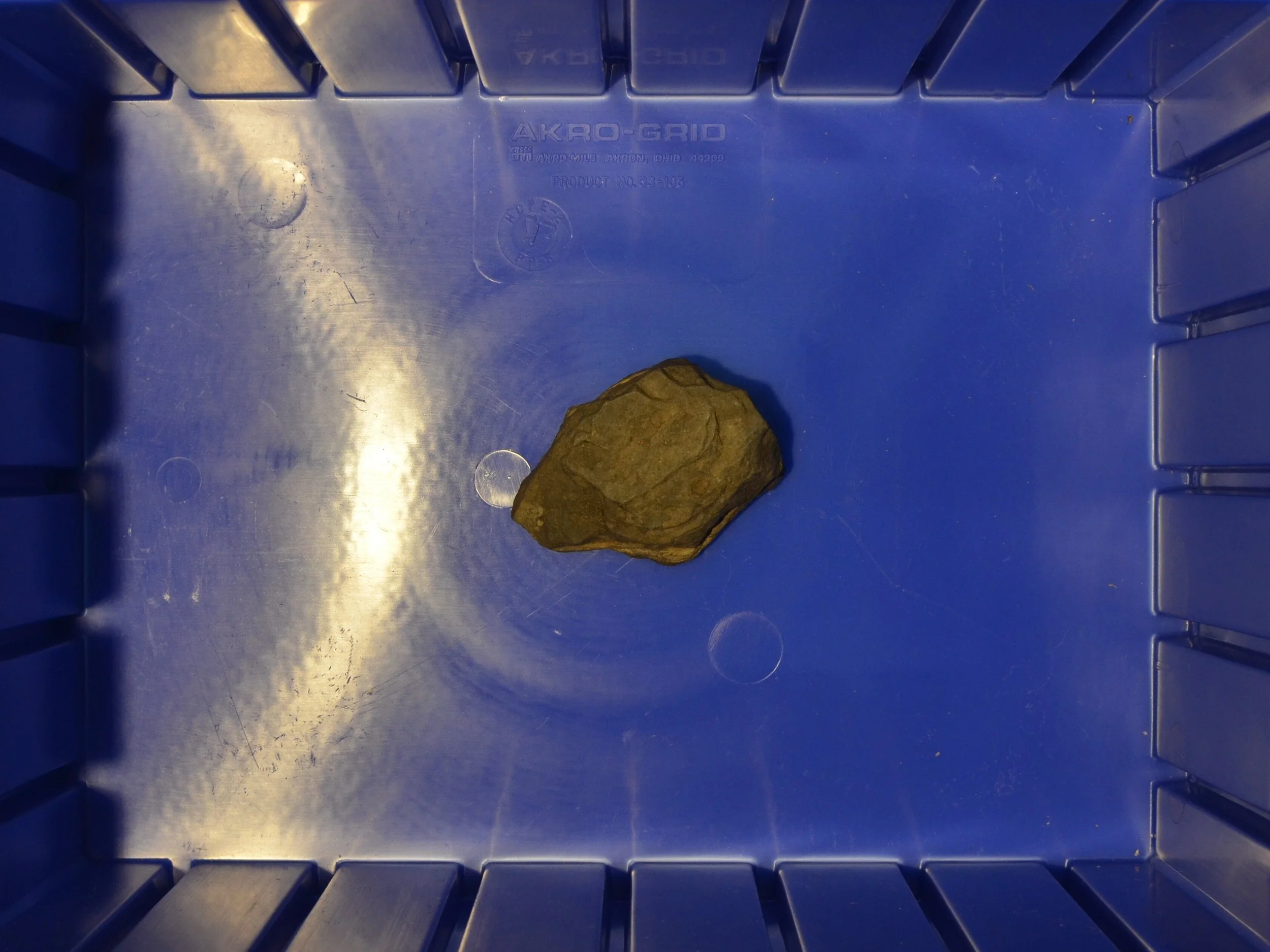
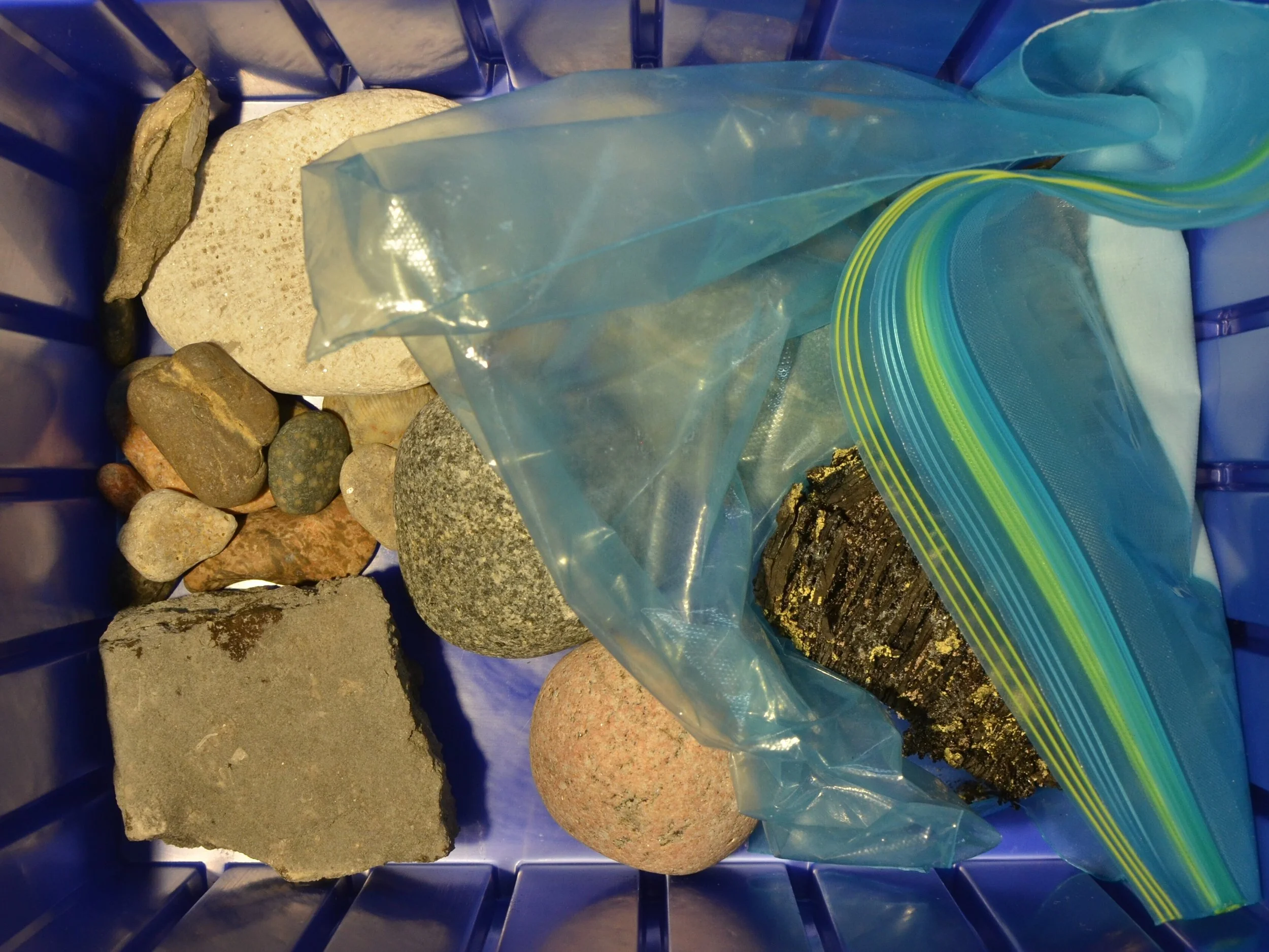
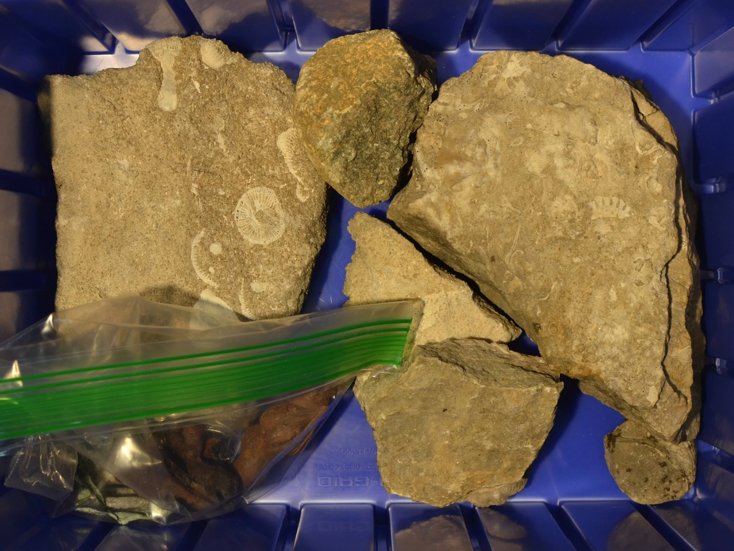
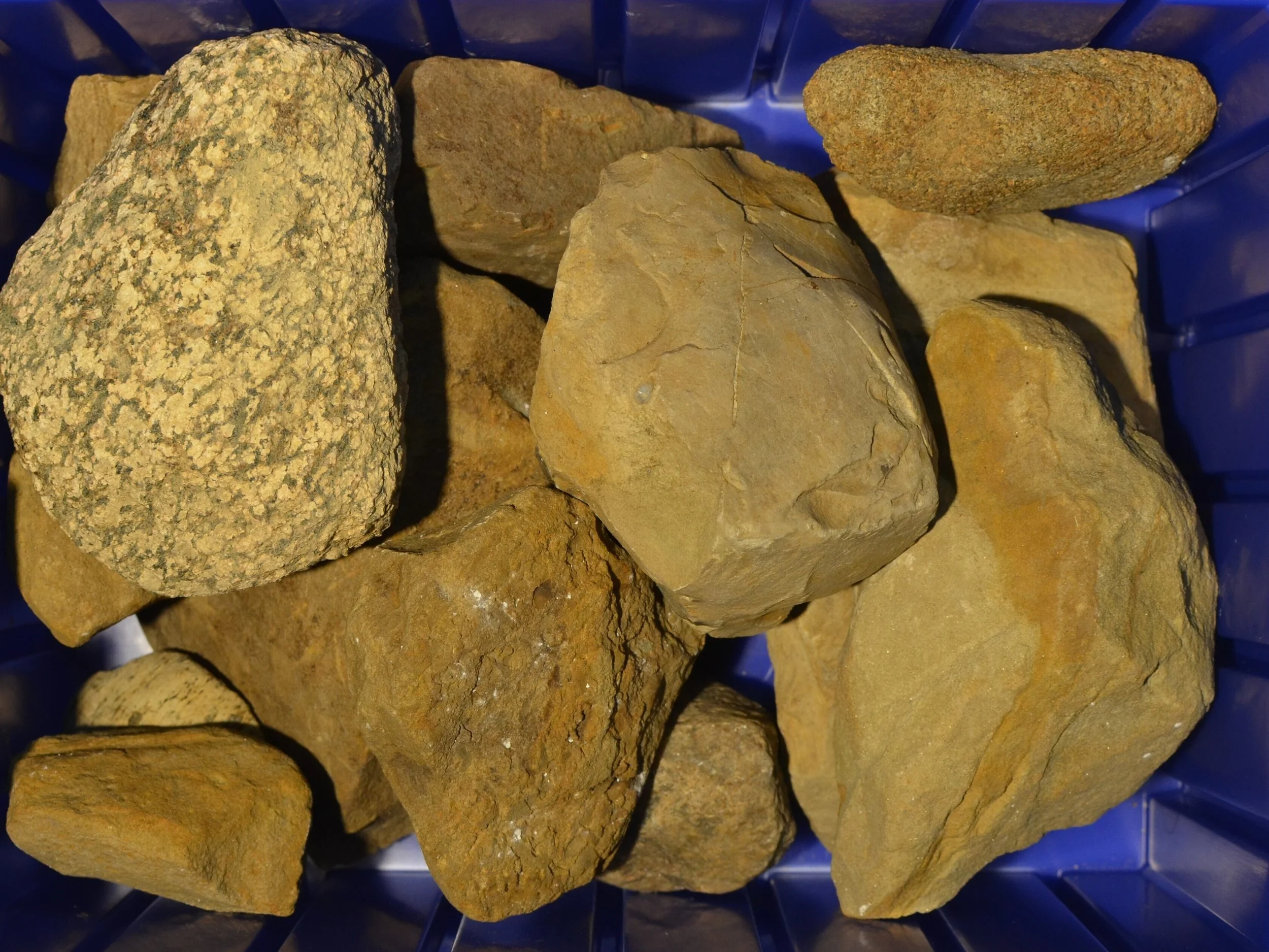
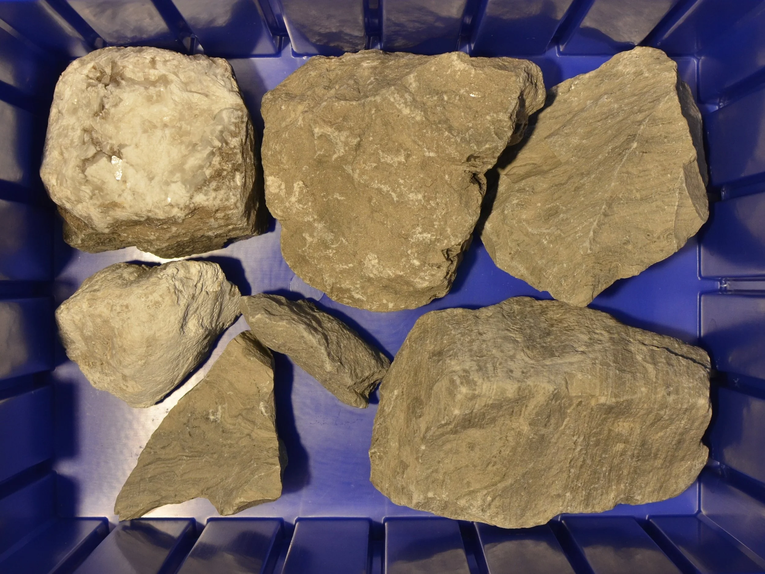
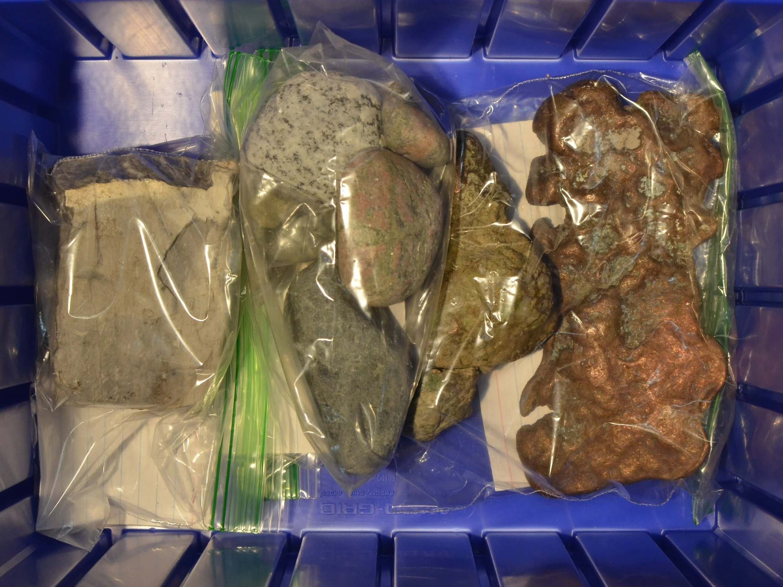
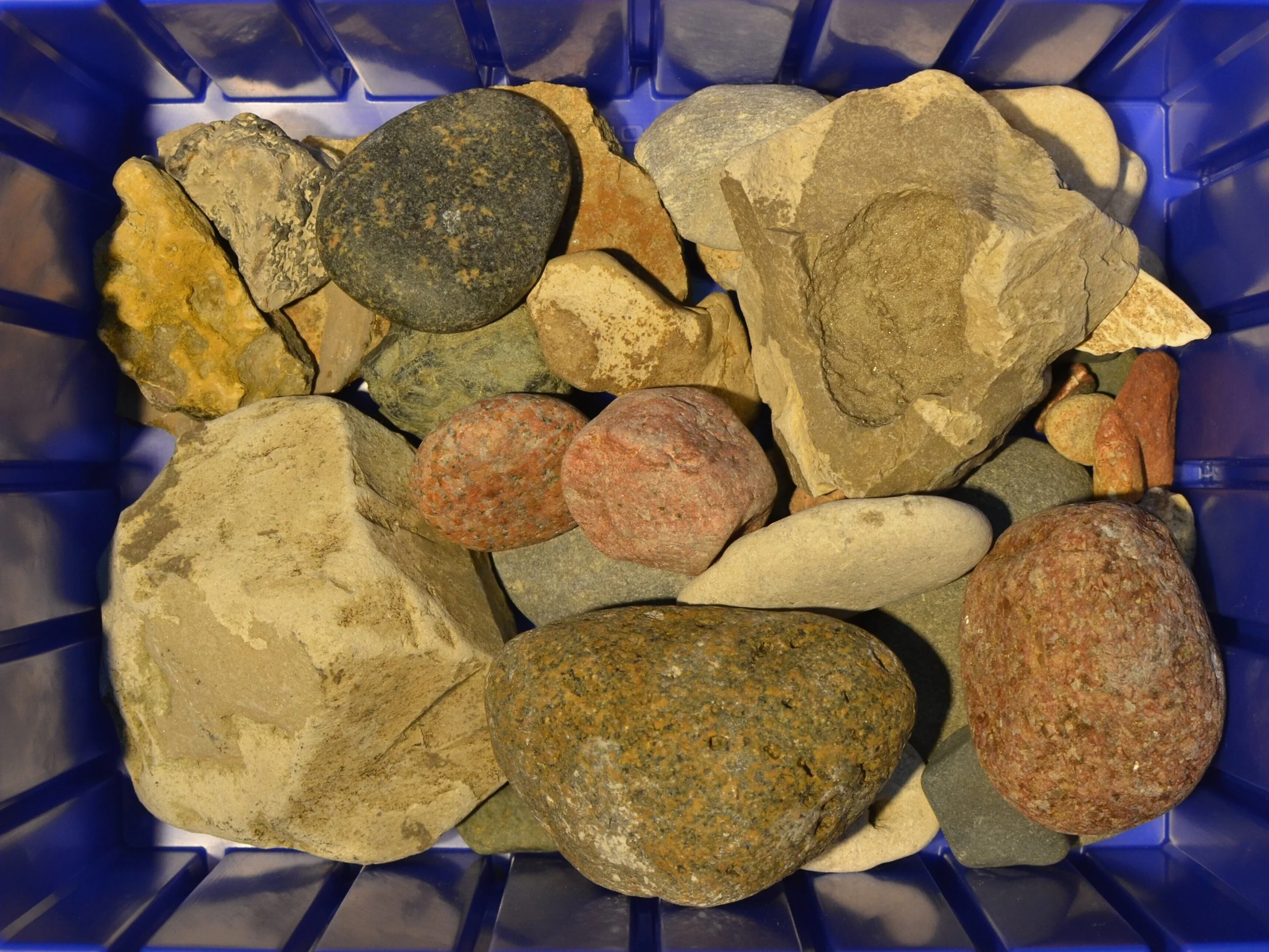
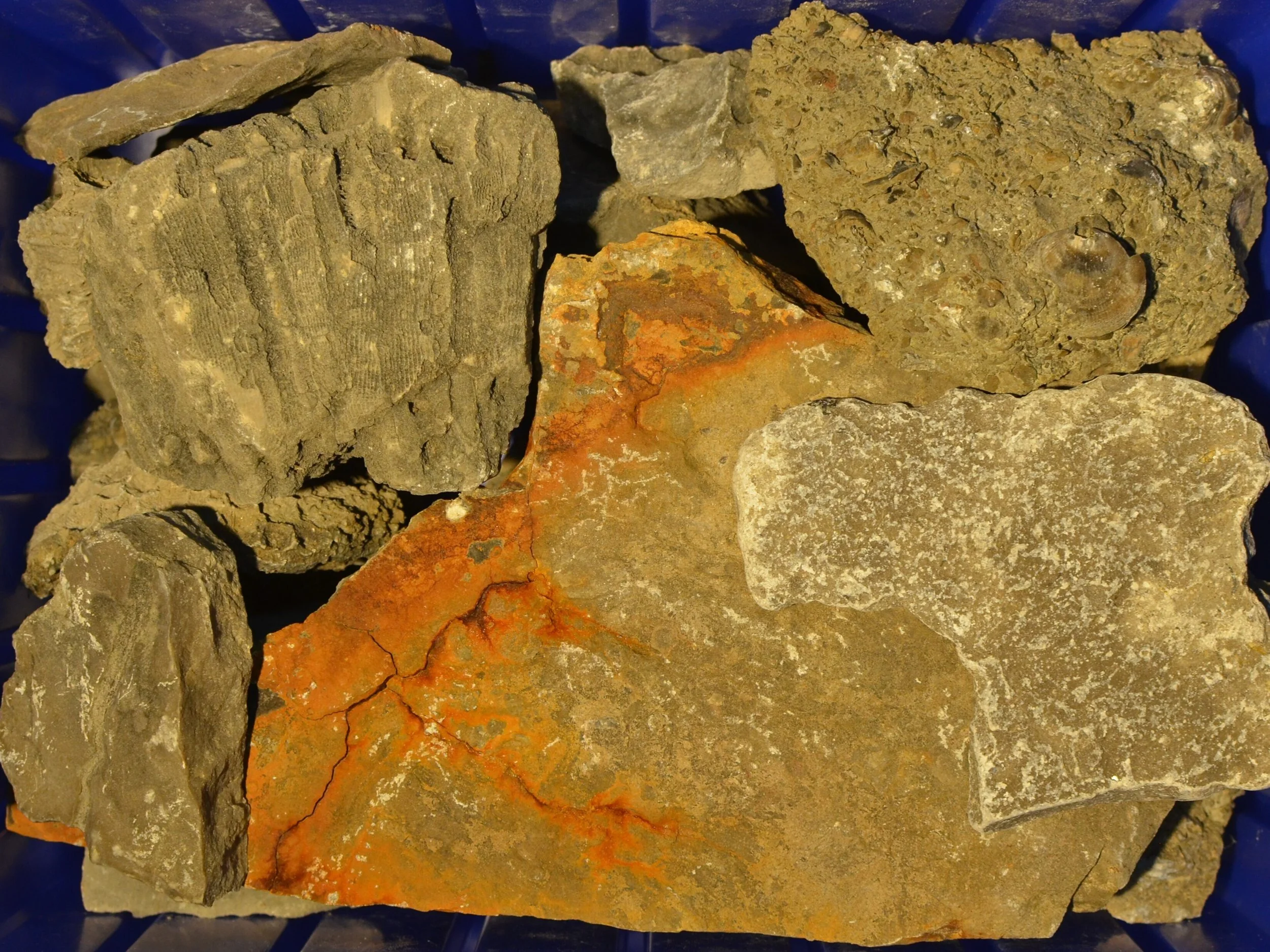
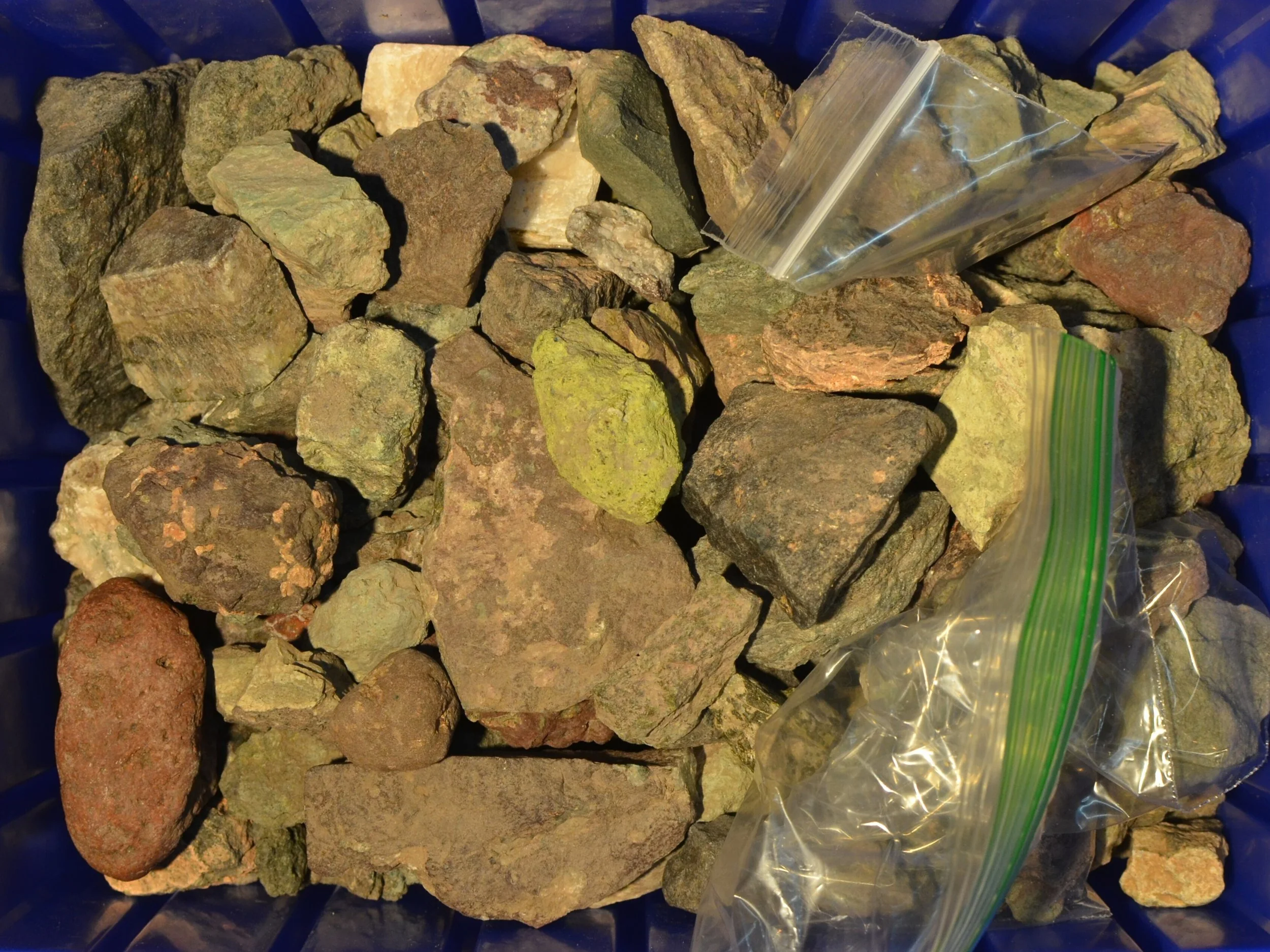
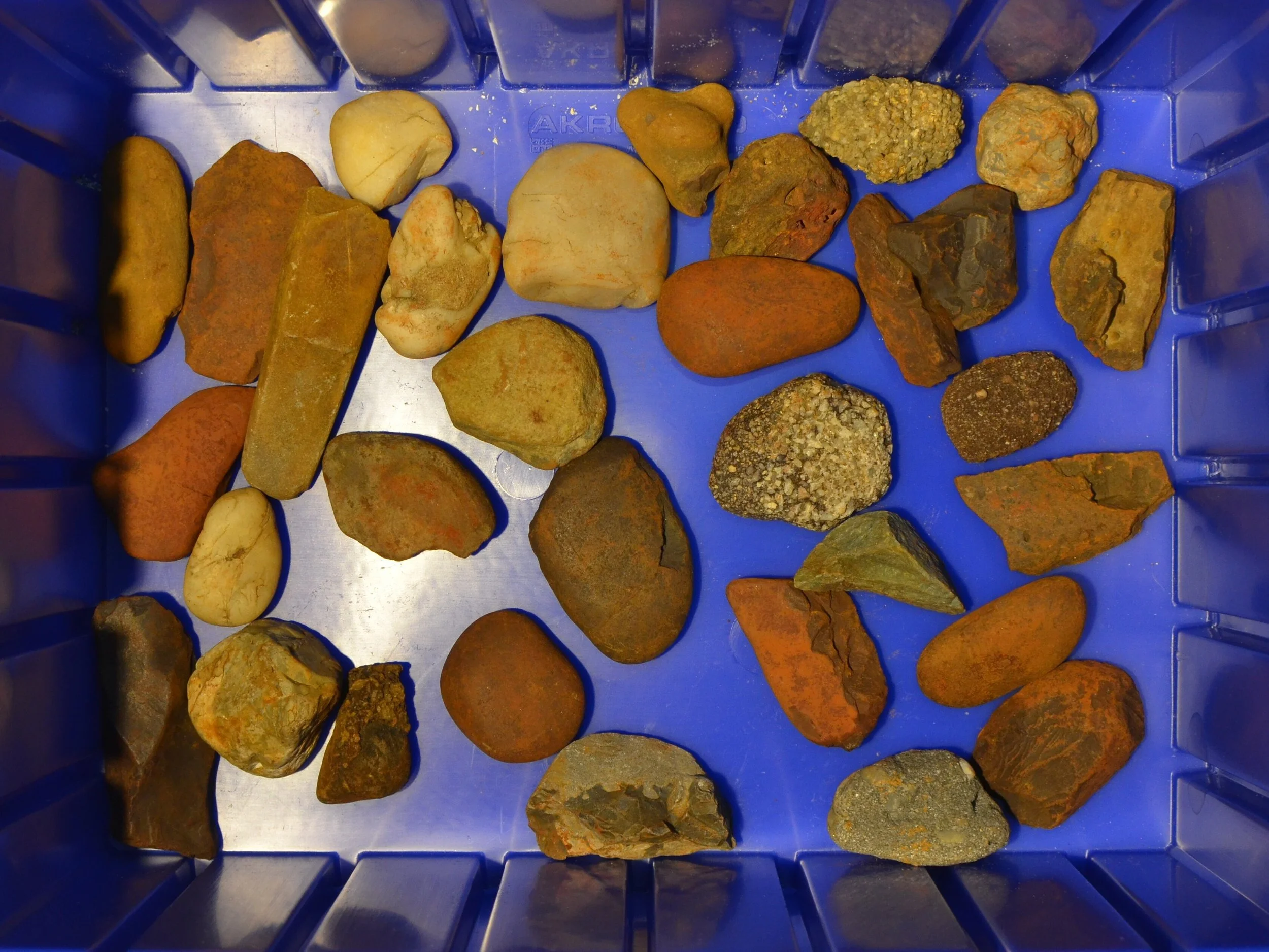
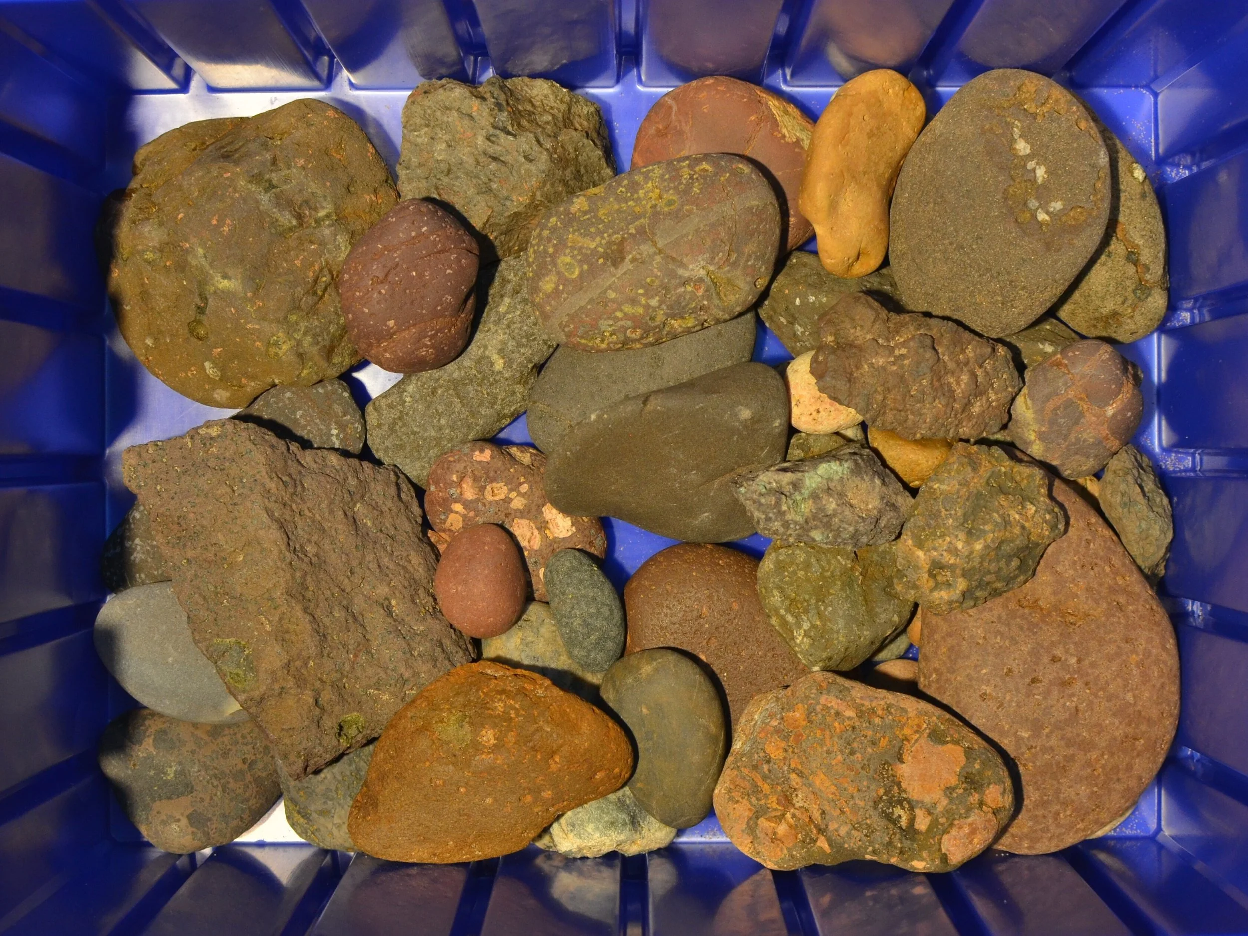
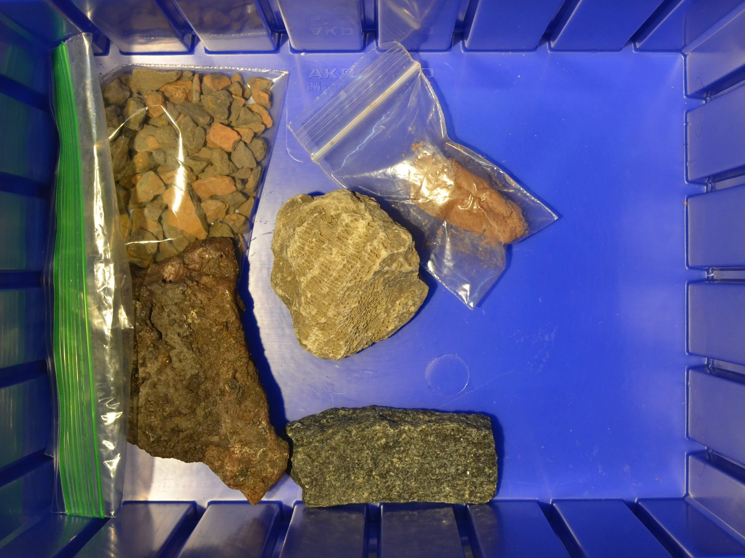
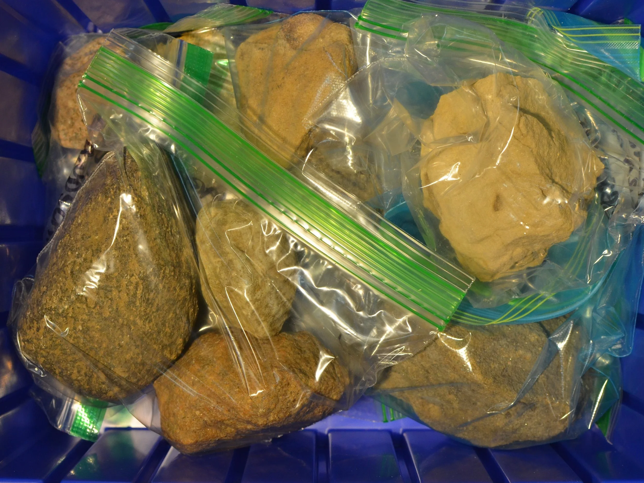
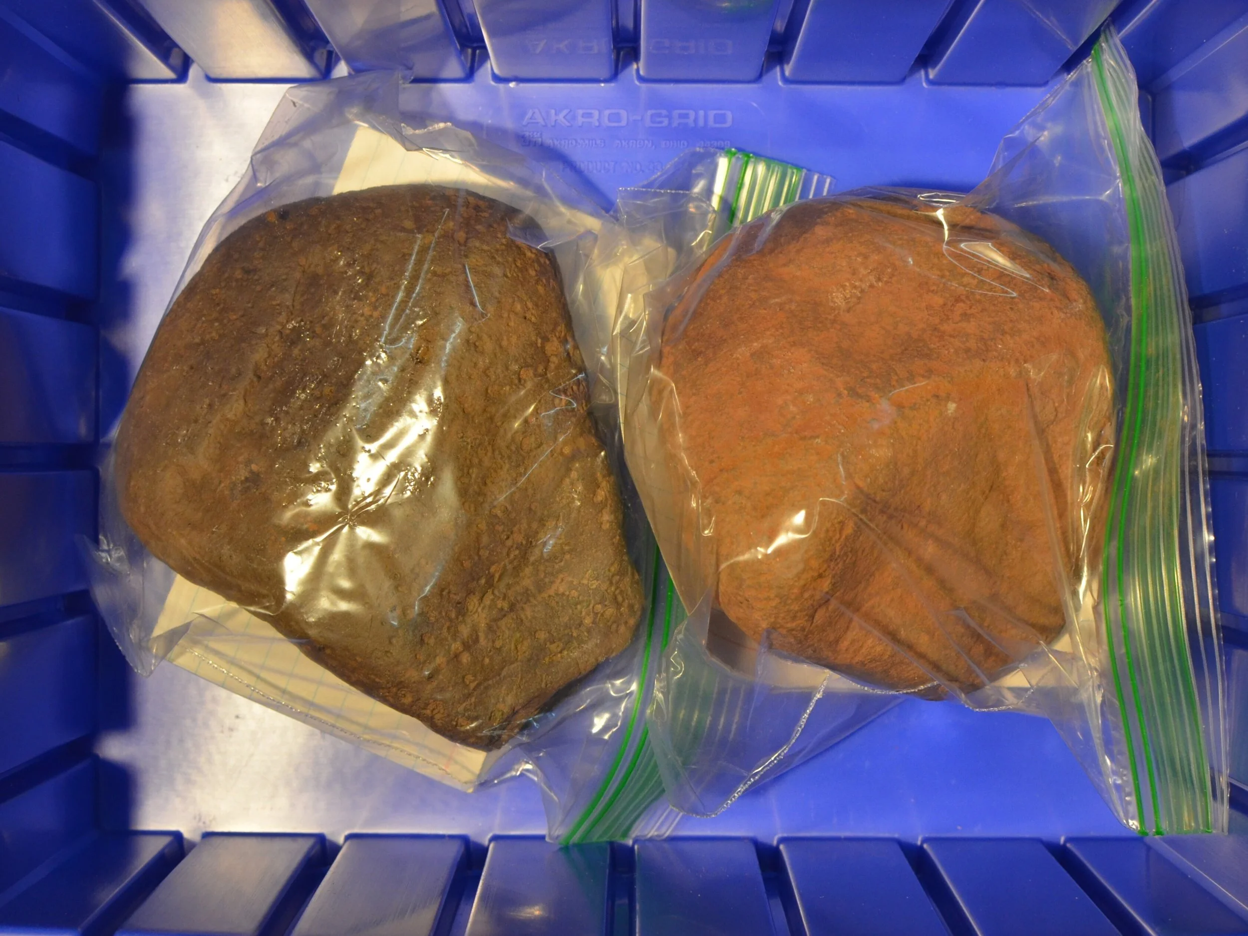
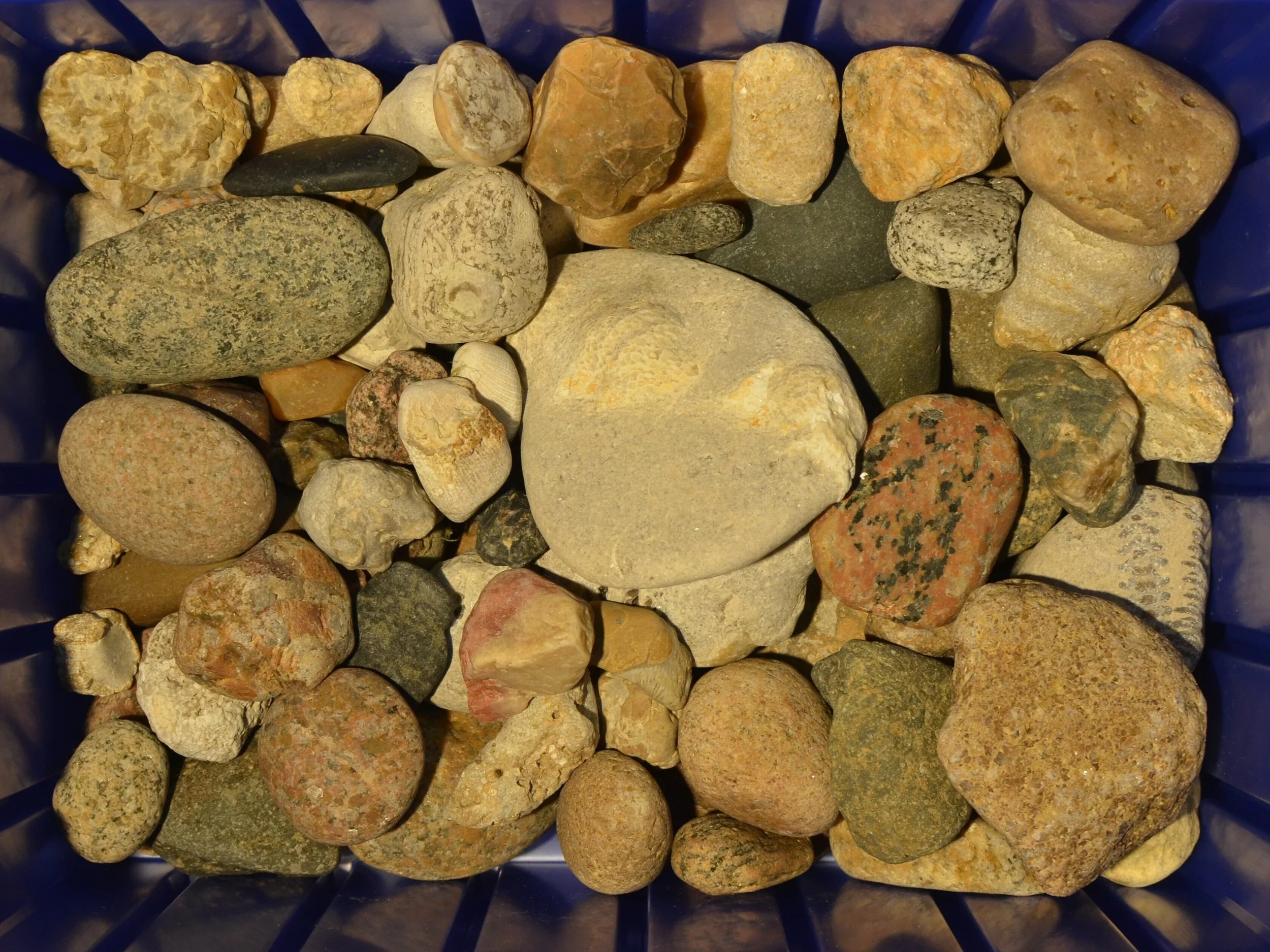
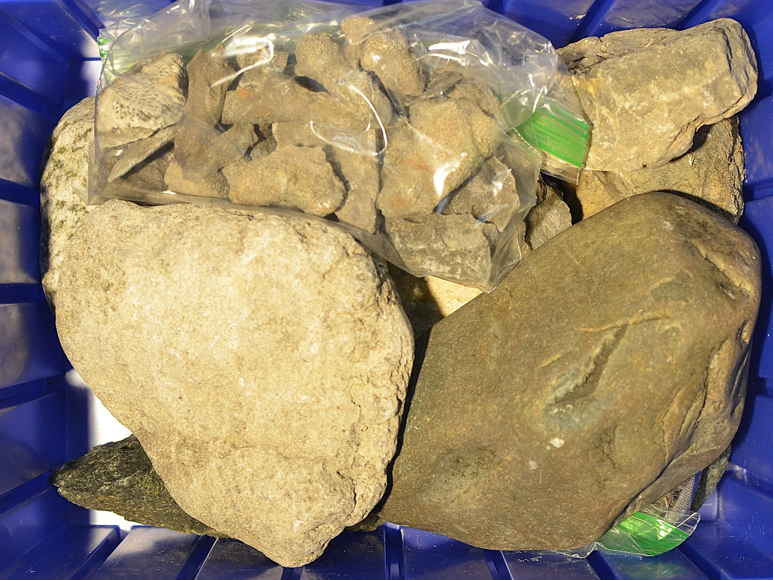
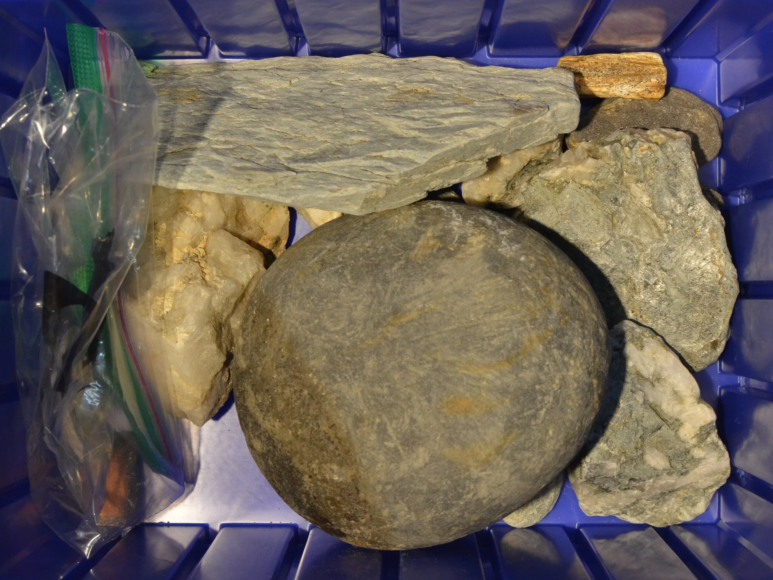
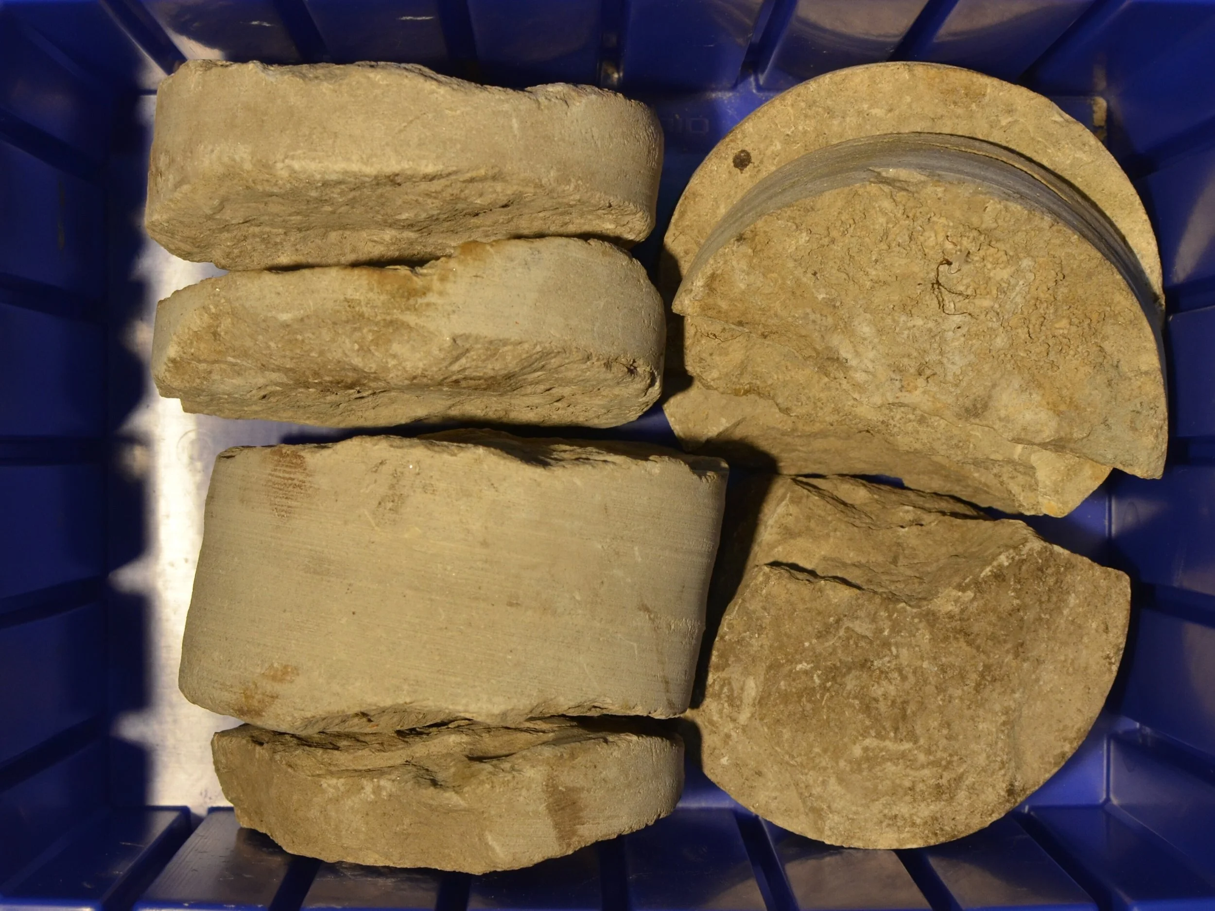
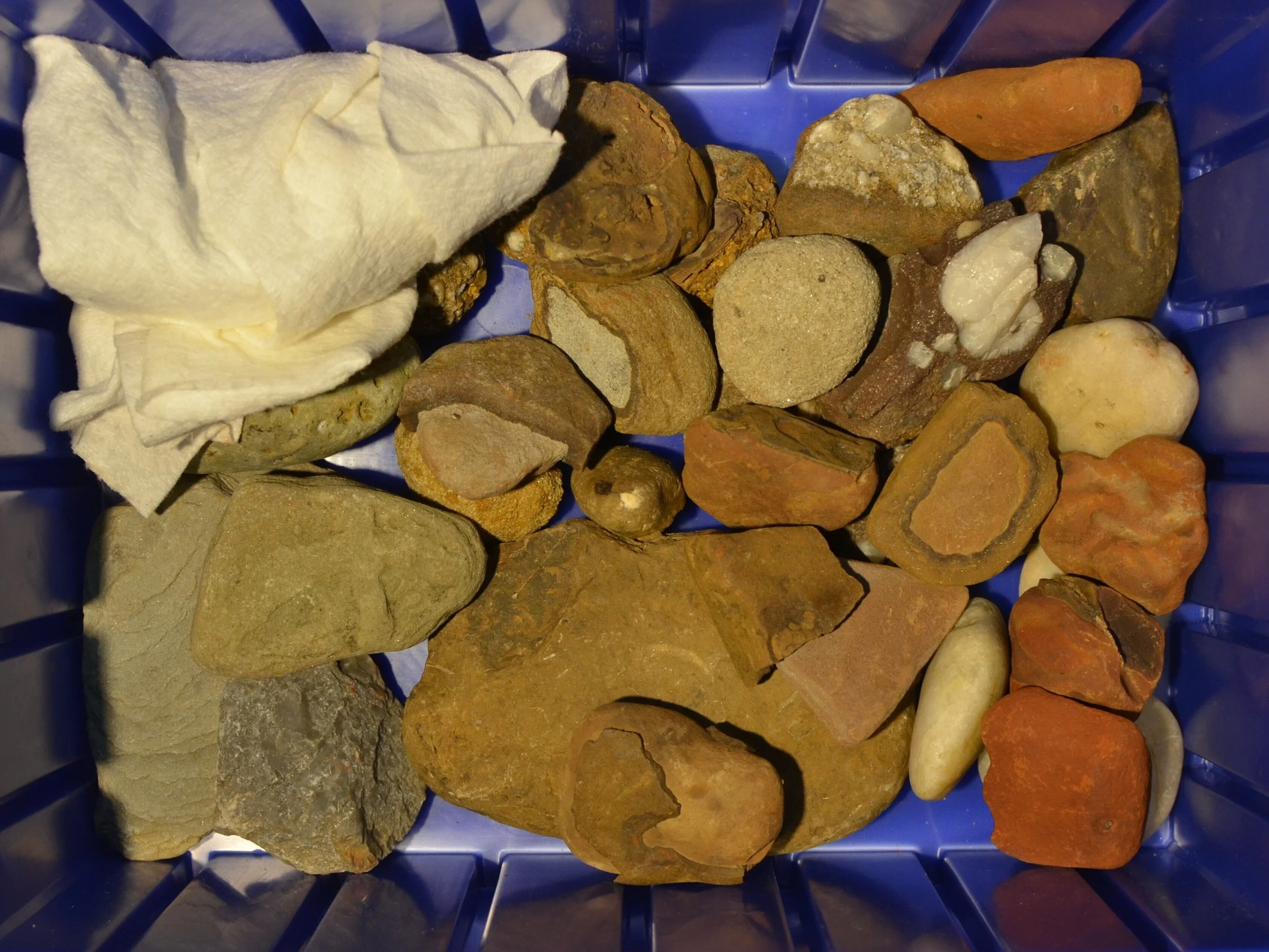
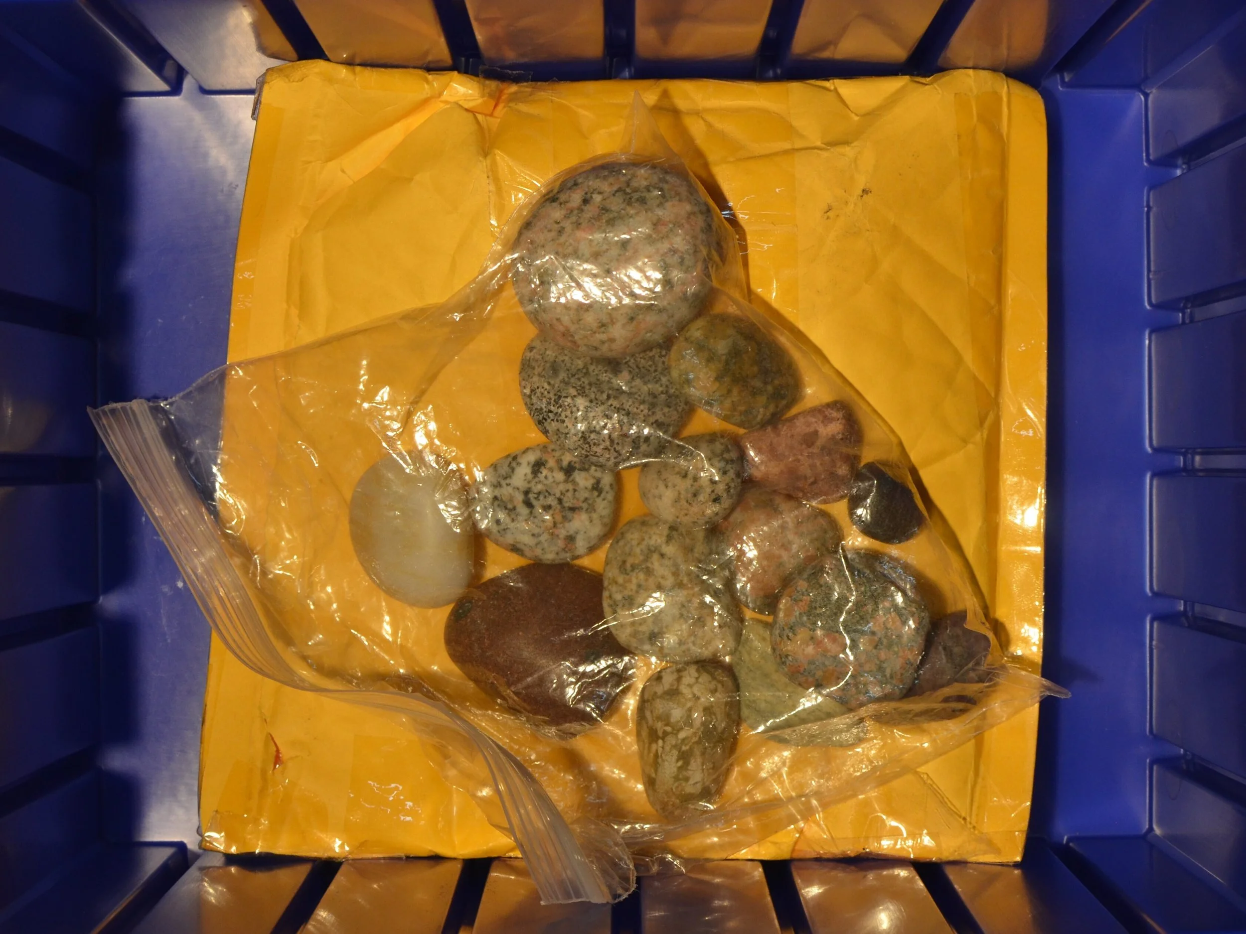
Great Lake Lithic Holdings is a working reference collection assembled through sustained field observation, surface collection, and comparative study across the post glacial Great Lakes region. It brings together stone artifacts, modified fragments, erratics, and industrial remnants that register patterns of movement, abrasion, extraction, and reuse across deep time and recent history. Each piece is documented, photographed, and indexed as part of a broader material system shaped by ice, water, labor, and infrastructure. The collection is processed through visual analysis, spatial correlation, and material classification to support landscape reading at multiple scales, from glacial mechanics to human intervention. As a gallery, it presents a condensed view into how the region has been worked, reworked, and interpreted, and serves as a practical tool for understanding continuity, disruption, and latent structure in the Great Lakes landscape.


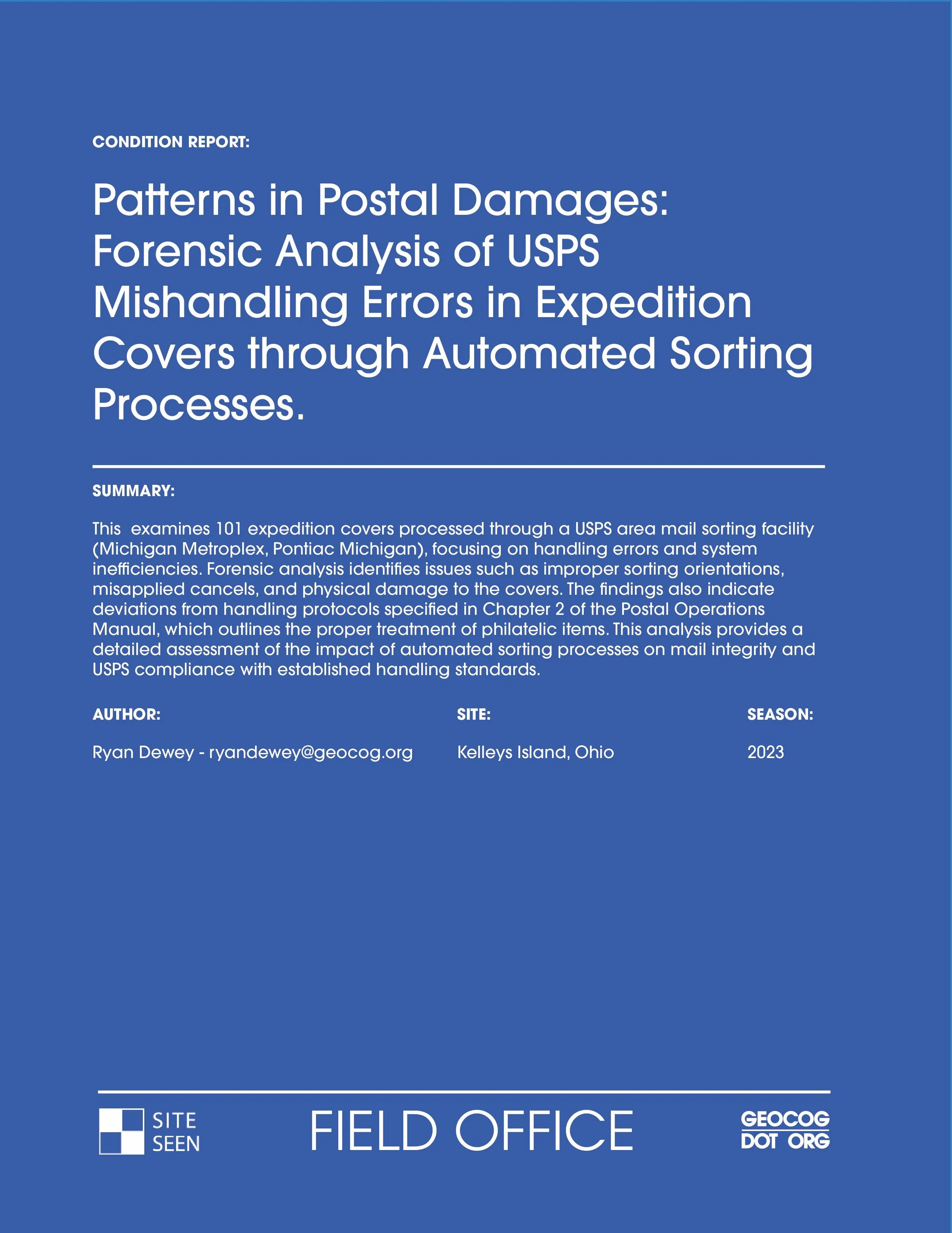
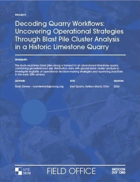
Reports, Dossiers, & Box Files
FIELD OFFICE produces concise dossiers and reports that translate close observation into actionable landscape intelligence. These works synthesize forensic landscape analysis, systems mapping, and resource movement studies to reveal how sites function, change, and accumulate meaning over time. Each report applies my signature approach to reading landscapes, combining material evidence, spatial logic, and contextual research to surface patterns that are often overlooked yet structurally important. The result is a durable record that supports interpretation, decision making, and long term understanding of complex terrains.
Some dossiers and reports are restricted due to the nature of the work and the contexts in which they are produced. A limited selection is available for reference and circulation.
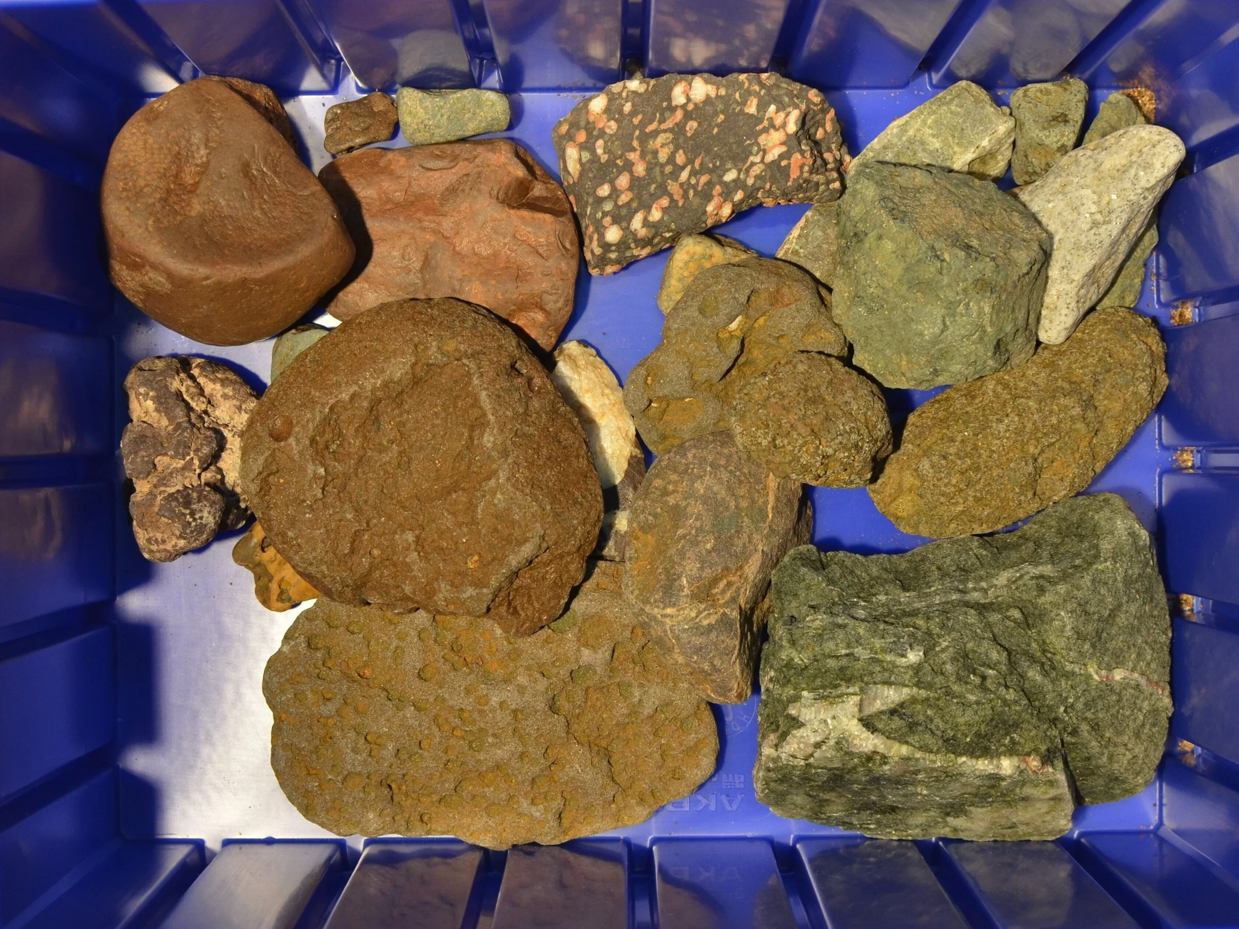
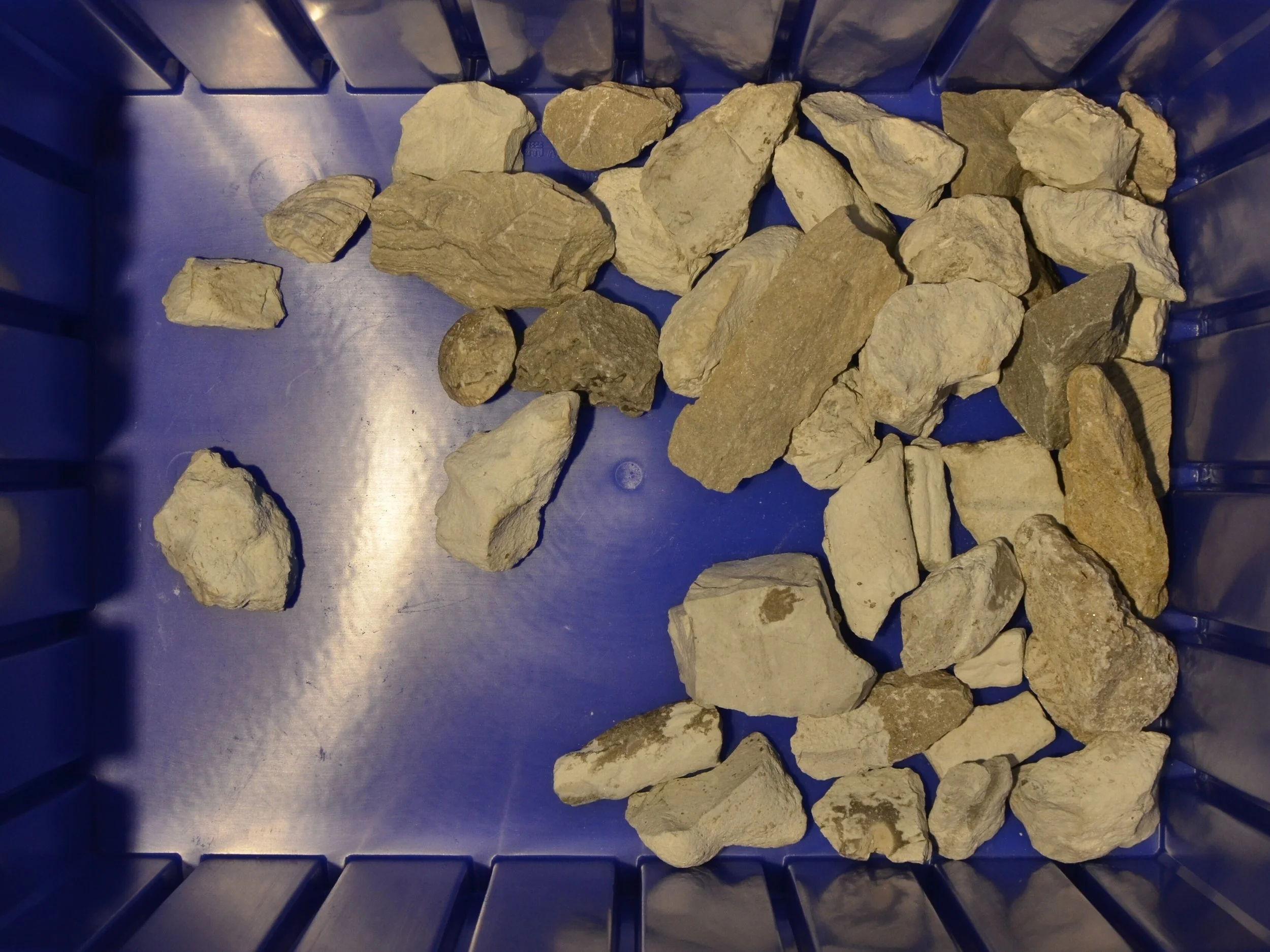
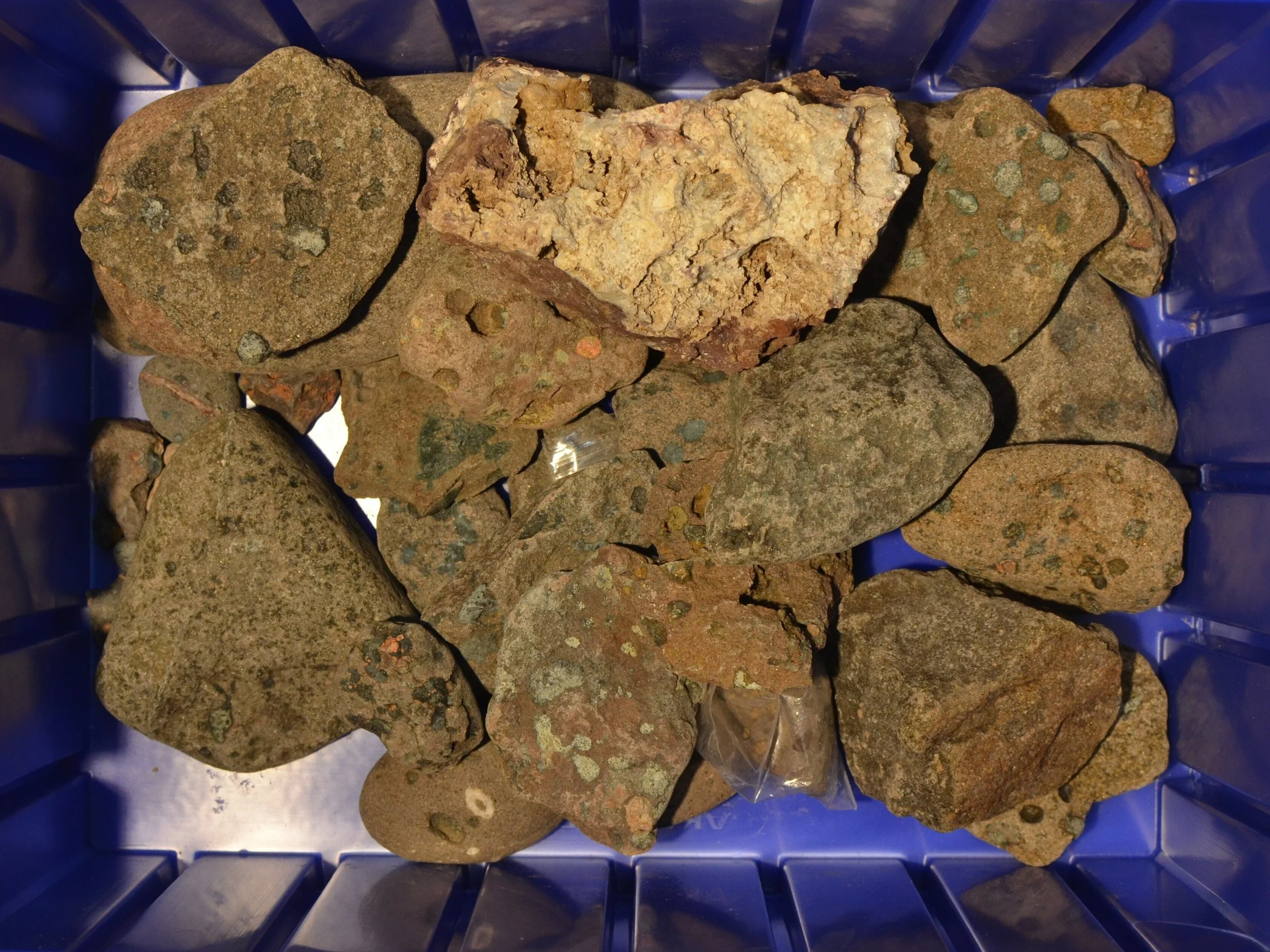
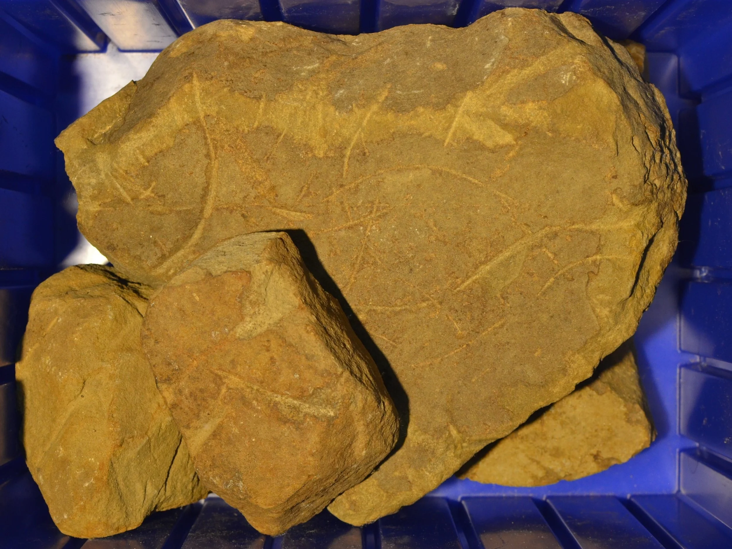
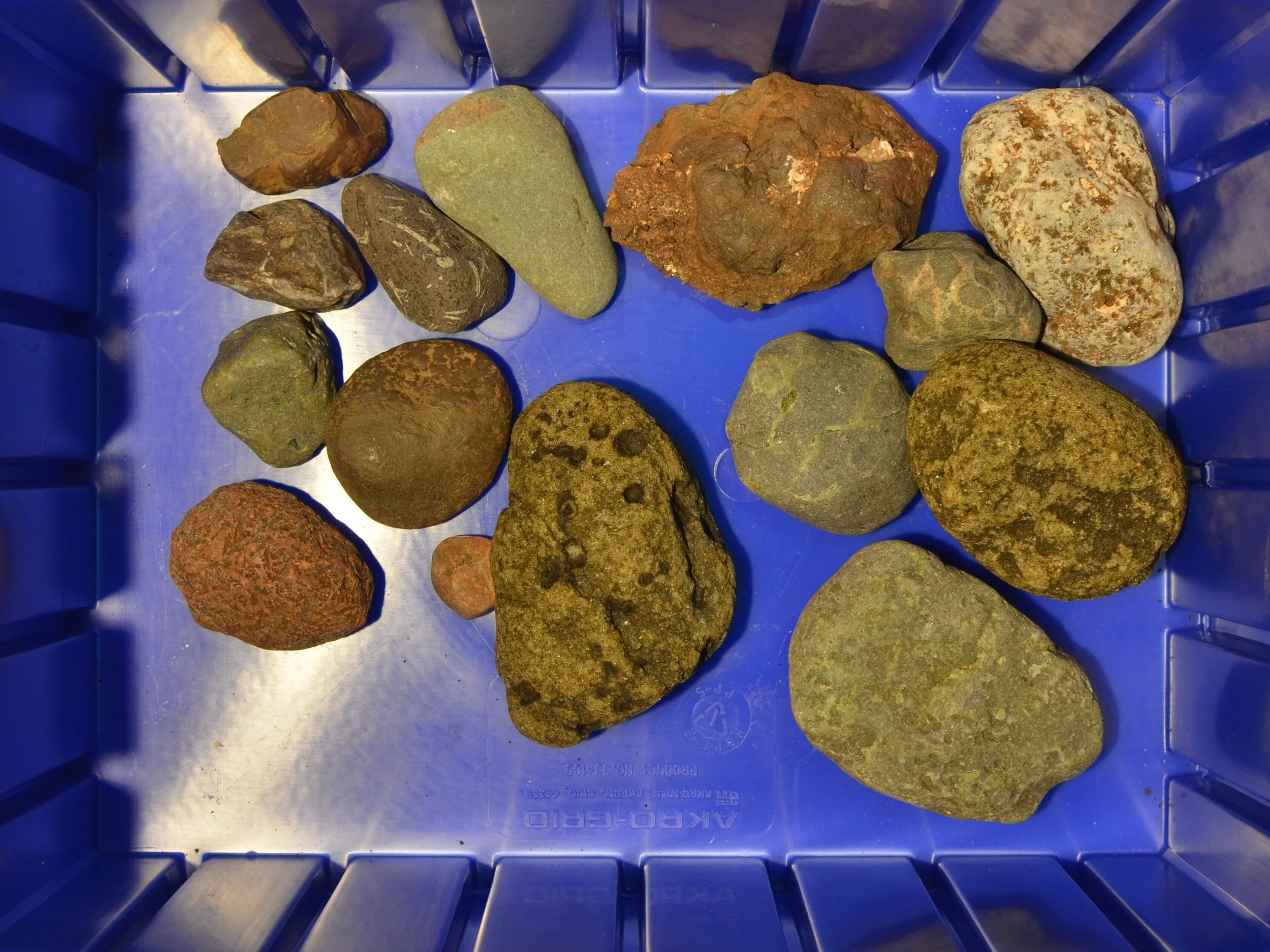
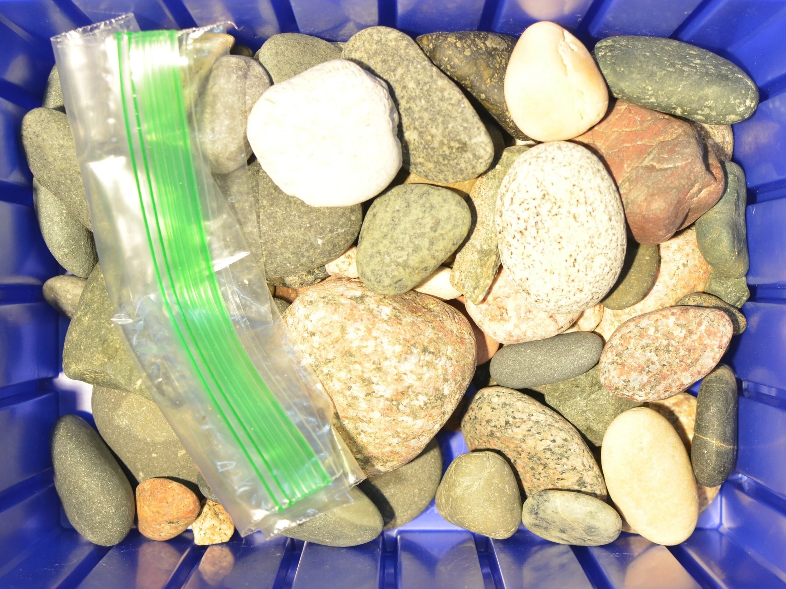
Great Lakes Lithic Holdings
Great Lake Lithic Holdings is a working reference collection assembled through sustained field observation, surface collection, and comparative study across the post glacial Great Lakes region. It brings together stone artifacts, modified fragments, erratics, and industrial remnants that register patterns of movement, abrasion, extraction, and reuse across deep time and recent history. Each piece is documented, photographed, and indexed as part of a broader material system shaped by ice, water, labor, and infrastructure. The collection is processed through visual analysis, spatial correlation, and material classification to support landscape reading at multiple scales, from glacial mechanics to human intervention. As a gallery, it presents a condensed view into how the region has been worked, reworked, and interpreted, and serves as a practical tool for understanding continuity, disruption, and latent structure in the Great Lakes landscape.
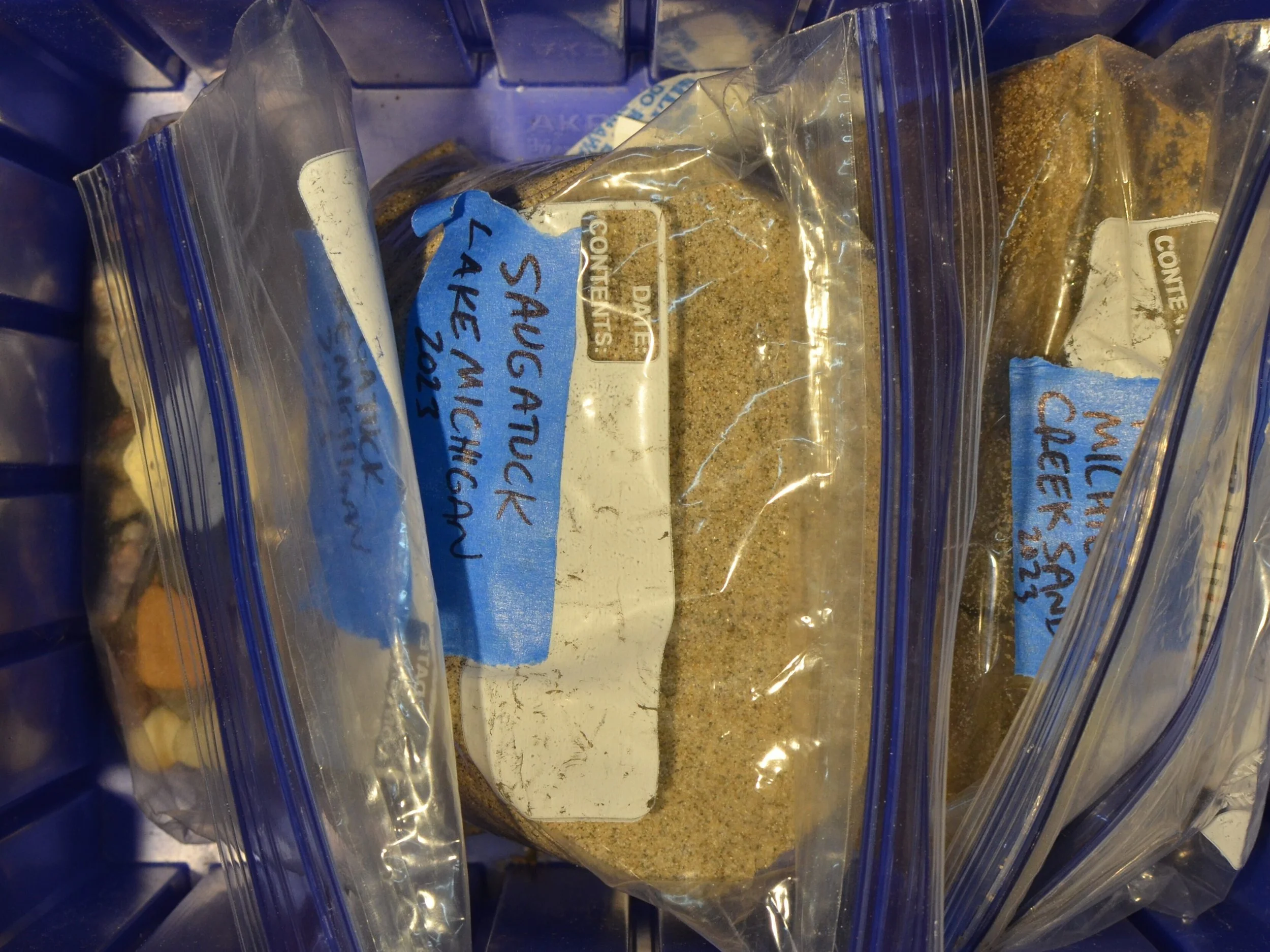
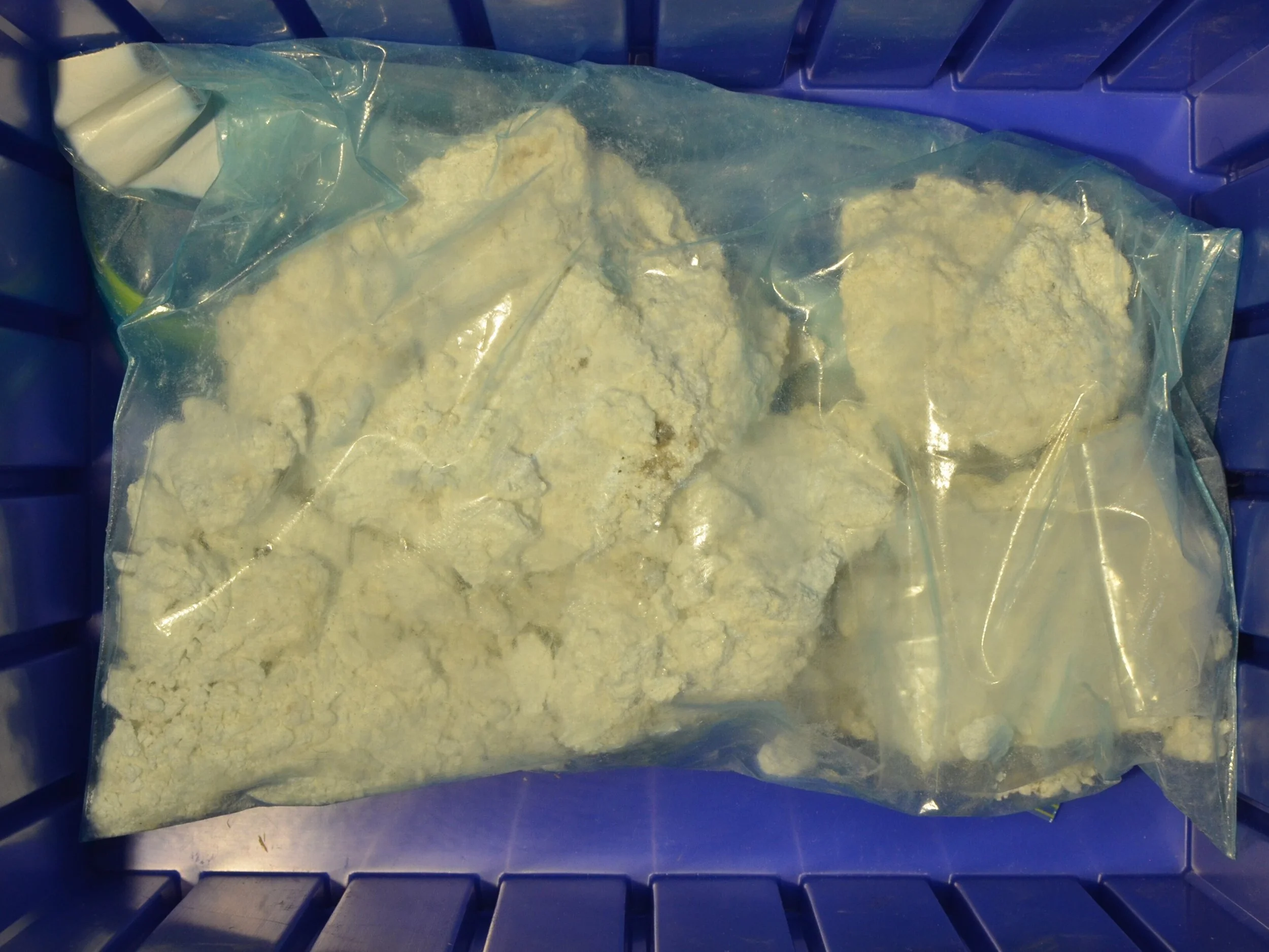
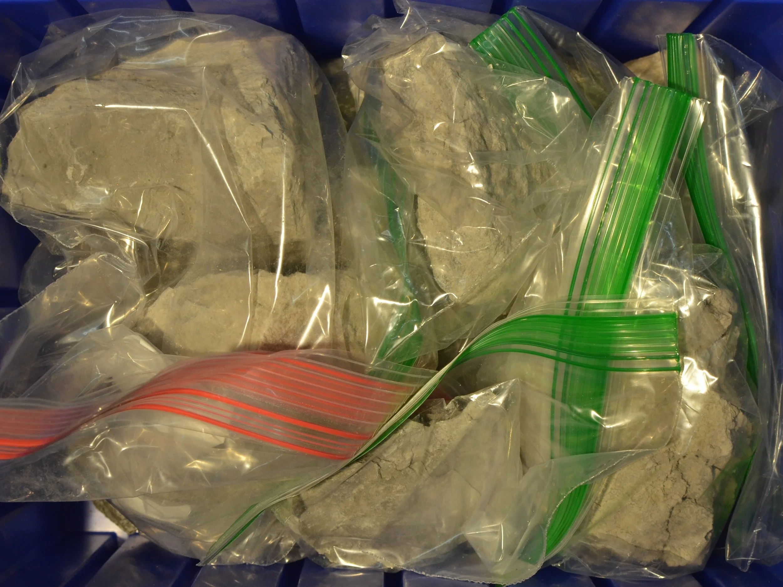
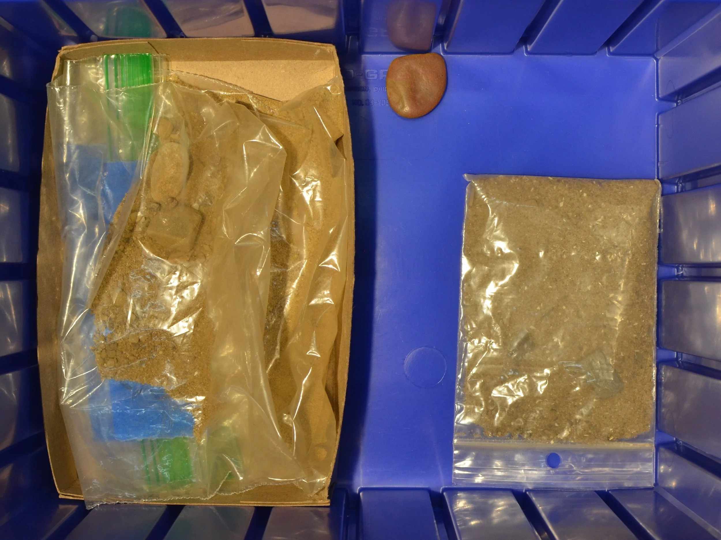

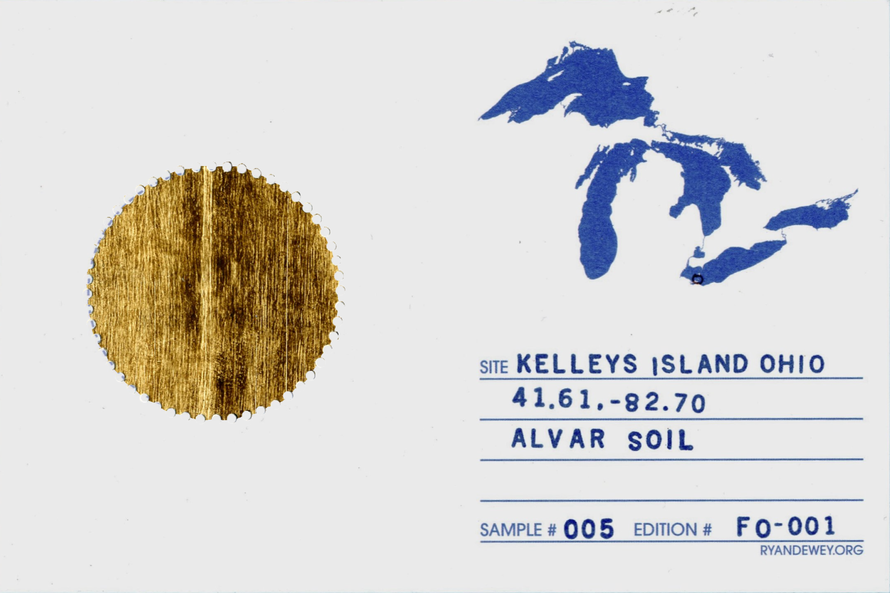
Glacial Tills of the Great Lakes
The Glacial Tills of the Great Lakes project produces a tangible archive of geological and material research. Clay samples are collected from distinct moraine structures around the Great Lakes, then processed in the studio—oven-dried, pulverized, and triple-milled into finely blended oil paints. These pigments are applied as swatch studies on handmade gummed stamps, which are cataloged on reference cards maintained in the repository and shared selectively with constituents. The work generates a material record of in situ investigation, providing a ground-truthed dataset that complements GEOCOG analysis, informs advisory projects, and contributes to the studio’s ongoing exploration of site-specific interventions. Some of these artifacts enter public circulation, while much quietly informs subsequent research and studio production.


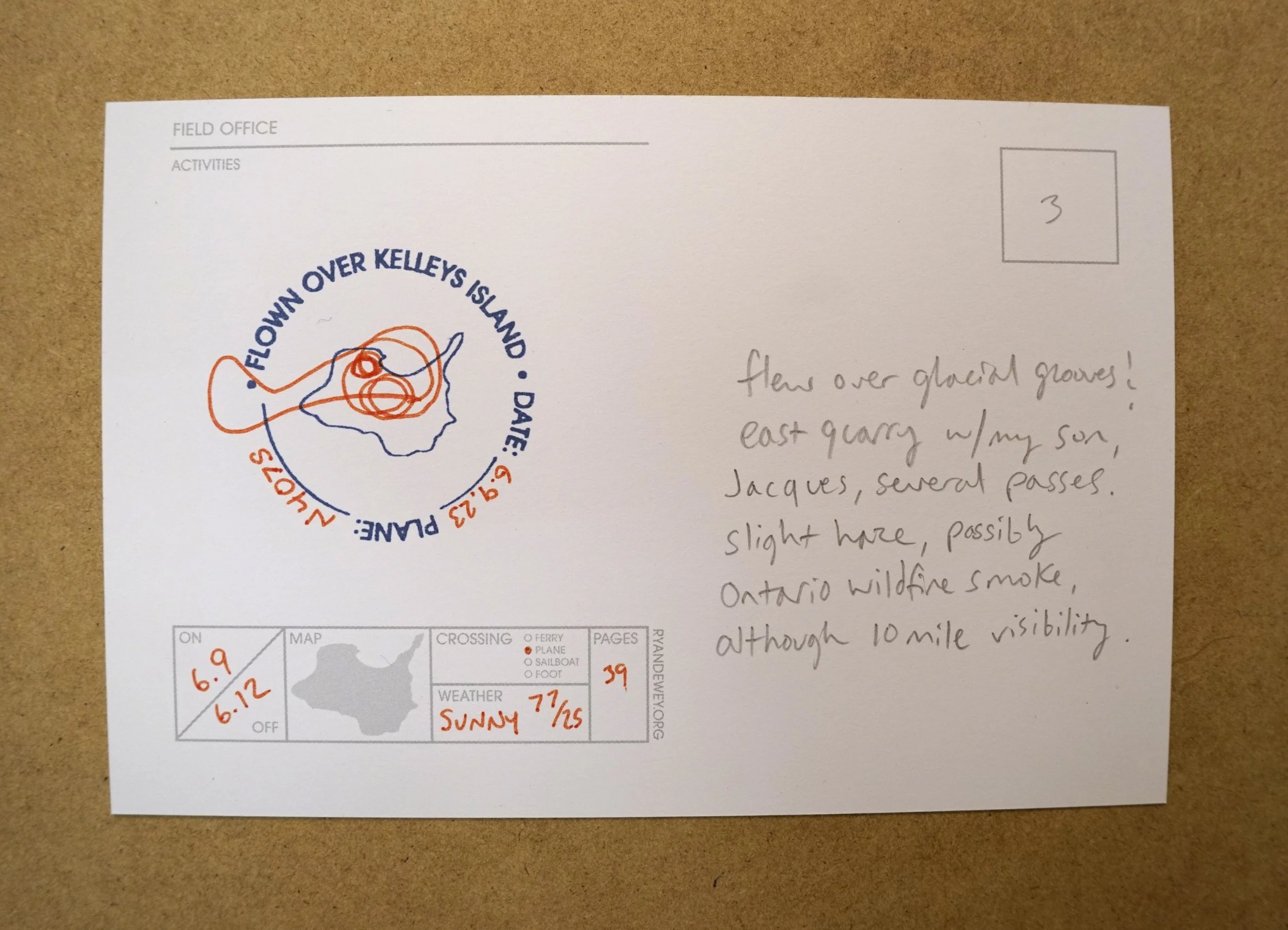
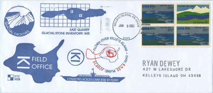
EXPEDITION READINESS
FIELD OFFICE develops and maintains expeditionary capability through repetition of deployment activities. Navigation, logistics, documentation, and remote operations are practiced in the field, under real constraints, and refined through repetition. Preparation, departure, and return are recorded as part of the work, and treated with equal care. For example, training expeditions document research activities in the heritage of polar postal artifacts. Each emblem and seal acts as an index or register of readiness, duration, and recovery, tracking how knowledge is built through movement, exposure, and sustained attention to place.
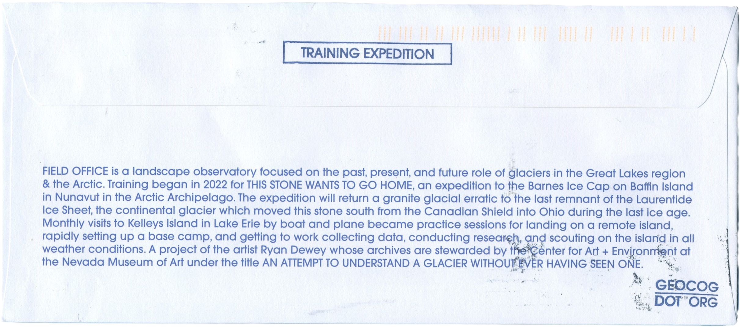
Beyond individual forays, FIELD OFFICE treats expeditionary activity as an iterative system of learning and refinement. Routes are chosen not only for research opportunity but for the constraints they impose; terrain, weather, and isolation serve as active participants in testing methods and instruments. Field observations, sketches, and epistolary records accumulate alongside the movement itself, producing a layered archive that captures both process and context. Emblems, stamps, and documented departures become more than symbolic markers; they encode procedural knowledge, marking the evolution of skill, endurance, and situational awareness. Over time, this corpus of experience informs subsequent projects, guiding both the design of tools and the conception of interventions, while maintaining a continuity of presence that grounds FIELD OFFICE work in place-specific understanding.
Select postal artifacts from training expeditions are preserved as part of the archive and may be made available for collection or exhibition; enquiries are invited.
Invitation & Engagement
FIELD OFFICE is built on repeated journeys, sustained observation, and careful recording. What begins as movement across landscapes, tracing glacial grooves, cataloging peatlands, or sketching coastal systems, becomes a material archive of knowledge and practice. Among these records, select postal artifacts from training expeditions stand out. Emblems, covers, and stamps mark duration, exposure, and return.
These items are preserved as part of the FIELD OFFICE archive and may be made available for collection or exhibition. Each artifact offers a tangible connection to the work and the landscapes that shape it.
All United States postage stamp images depicted in this publication are © United States Postal Service. Images are reproduced solely to illustrate philatelic items included in commercial availability of this body of work, in accordance with Chapter 2, Section 282 of the Postal Operations Manual. All images remain unaltered for compliance with USPS requirements and are used strictly in the context of this research, documentation, and items offered for sale or exhibition. Inquiries regarding acquisition or exhibition are welcome.